Blair in Cambridge in Waterloo Region, Ontario — Central Canada (North America)
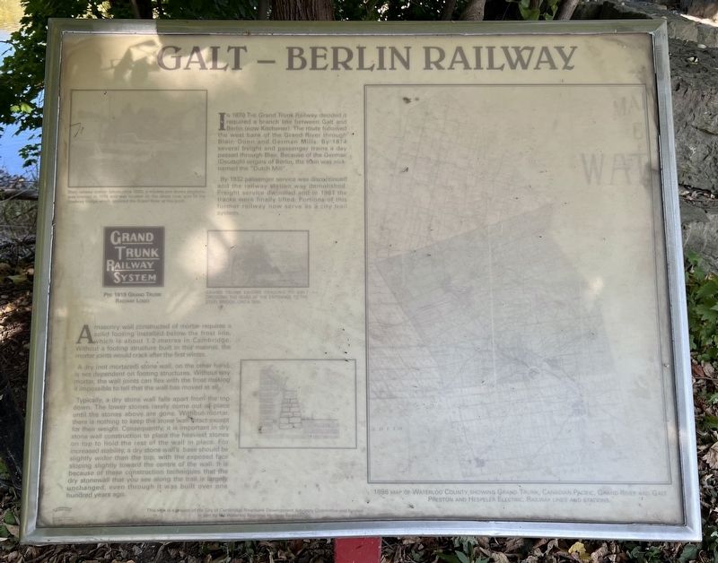
Galt - Berlin Railway
Photographed by Tim Boyd, October 19, 2024
1. Galt - Berlin Railway Marker
By 1932 passenger service was discontinued and the railway station was demolished. Freight service dwindled and in 1961 the tracks were finally lifted. Portions of this former railway now serve as a city trail system.
A masonry wall constructed of mortar requires solid footing installed below the frost line which is about 1.2 metres in Cambridge. Without a footing structure built in this manner, the mortar joints would crack after the first winter.
A dry (not mortared) stone wall, on the other hand is not dependent on footing structures. Without any mortar, the wall joints can flex with the frost making it impossible to tell that the wall has moved at all.
Typically, a dry stone wall falls apart from the tơp down. The lower stones rarely come
this page online
Topics. This historical marker is listed in this topic list: Railroads & Streetcars. A significant historical year for this entry is 1870.
Location. 43° 23.045′ N, 80° 23.058′ W. Marker is in Cambridge, Ontario, in Waterloo Region. It is in Blair. It is on Blair Road half a kilometer east of Fountain Street South, on the right when traveling west. Touch for map. Marker is at or near this postal address: 1636 Blair Road, Cambridge ON N3H 4R8, Canada. Touch for directions.

Regionally, this marker is in the Huron-Perth-Waterloo-Wellington Area and in
Photographed by Tim Boyd, October 19, 2024
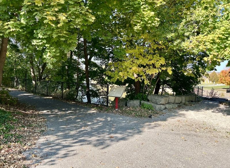
2. Galt - Berlin Railway Marker
Other nearby markers. At least 8 other markers are within 3 kilometers of this marker, measured as the crow flies: Blair Bridge (a few steps from this marker); The Founder of Preston (approx. 2.4 kilometers away); Preston Towne Centre (approx. 2.4 kilometers away); Preston Cenotaph (approx. 2.4 kilometers away); Otto Julius Klotz (approx. 2.5 kilometers away); Doon Presbyterian Church (approx. 2.9 kilometers away); Doon School of Fine Arts 1948-1966 (approx. 3 kilometers away); Homer Ransford Watson (approx. 3 kilometers away). Touch for a list and map of all markers in Cambridge.
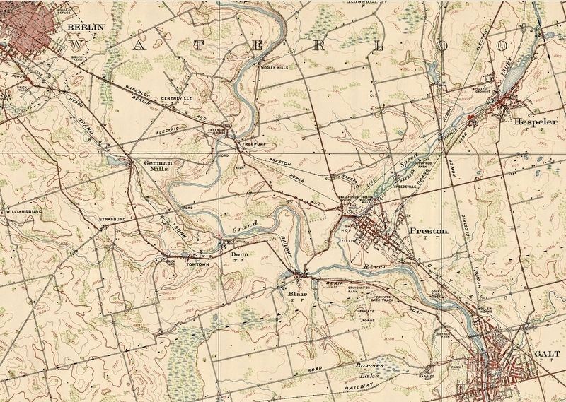
3. 1916 map showing the route of the Galt-Berlin portion of the Grand Trunk Railway
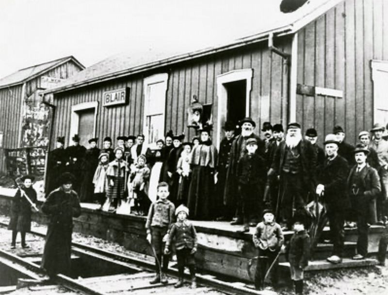
1898
4. Blair GTR Station, 1898
Source: Kitchener Public Library (public domain)
Credits. This page was last revised on November 5, 2024. It was originally submitted on November 4, 2024, by Tim Boyd of Hamilton, Ontario. This page has been viewed 202 times since then and 64 times this year. Photos: 1, 2, 3, 4. submitted on November 4, 2024, by Tim Boyd of Hamilton, Ontario. • Andrew Ruppenstein was the editor who published this page.
