
Whitby in Durham Region, Ontario — Central Canada (North America)
William Till Building (1857-1860)
| — | Downtown Whitby’s Historic Core | — |
Photographed by Tim Boyd, October 3, 2024
1. William Till Building Marker
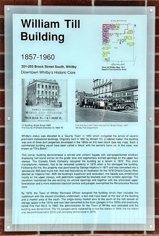
Whitby's status was elevated to a 'County Town' in 1852 which instigated the arrival of several prominent institutional buildings. Originally built in 1857 by William Till, a cabinet maker, this building was one of three built properties developed in the 1850s on this town block (see key map). Such a commercial building would have been called a "block" with the owner's name so, in this case, was known as "Till's Block".
This corner building demonstrated a refined and uniform façade with well-proportioned windows displaying half-round arches on the grade level and segmentally arched openings on the upper two storeys. The Canada Clock Company occupied the building as a tenant in 1872. This clock manufacturer, however, had to be relocated suddenly in 1875 when a fire damaged the building. Following the fire, this property was purchased by George Hopkins in 1877 and was converted into a spectacular 300-seat music hall, that was featured as an illustration for the 1878 Ontario County Atlas labelled as Hopkins Hall. With the building's expansion and renovation, the façade was embellished mostly on the upper storeys, with pediments supported by brackets over the window openings. The storefront maintained the pre-existing six arched openings and together with the articulated upper fenestration and a more elaborate classical cornice and parapet, exemplified the Renaissance Revival style.
By 1879, the Town of Whitby Municipal Offices occupied the building which then included the auditorium with the council chambers underneath, a bell and hose tower at the rear of the building and a market area at the south. The single-storey market area to the south of the hall served as storage space in the 1910s and was later converted to fire truck garages in the 1920s and eventually called Fire Hall No.3. In 1960, the administration
this page online
Topics. This historical marker is listed in these topic lists: Architecture • Industry & Commerce. A significant historical year for this entry is 1857.
Location. 43° 52.714′ N, 78° 56.5′ W. Marker is in Whitby, Ontario, in Durham Region. It is at the intersection of Brock Street South and Colborne Street East, on the right when traveling north on Brock Street South. Touch for map. Marker is at or near this postal address: 204 Brock Street South, Whitby ON L1N 4K2, Canada. Touch for directions.

Regionally, this marker is in Greater Toronto, specifically on the Golden Horseshoe, in the York, Durham and Headwaters Area, and in the Toronto Metropolitan Area. It is also in Central Canada. Globally, it is in North America, on the Great Lakes, in the Western Hemisphere, in the Western World, and in the Anglosphere. Historically, it finds itself in what was once a British colony, the Viceroyalty of New France,

Photographed by Tim Boyd, October 19, 2024
2. William Till Building Marker
Other nearby markers. At least 8 other markers are within walking distance of this marker: J. Wilkinson Building (1855-1981) (a few steps from this marker); Cross & Granger Fire, 1901 (within shouting distance of this marker); The Sawdon Building (within shouting distance of this marker); The Great Fire of 1877 (about 90 meters away, measured in a direct line); First Dominion Bank Branch, 1871 (about 120 meters away); Perry’s Corners, 1836 (about 150 meters away); Carnegie Public Library, 1913 (about 180 meters away); May Irwin, 1862-1938 (about 210 meters away). Touch for a list and map of all markers in Whitby.
Credits. This page was last revised on November 5, 2024. It was originally submitted on November 4, 2024, by Tim Boyd of Hamilton, Ontario. This page has been viewed 307 times since then and 43 times this year. Photos: 1, 2. submitted on November 4, 2024, by Tim Boyd of Hamilton, Ontario. • Andrew Ruppenstein was the editor who published this page.
