Bar Harbor in Hancock County, Maine — The American Northeast (New England)
The Great Fire
⎯⎯⎯
Le Grand Incendie
Bar Harbor, Maine
| — | The Museum in the Streets | — |

Photographed by Darren Jefferson Clay, October 16, 2024
1. The Great Fire Marker
The Great Fire of 1947 came this close to burning down the town of Bar Harbor before a shift in wind forced it around the village. The fire started October 17 near an open burning landfill, Dolliver's dump, in a bog about eight miles from here. After the exceptionally hot summer and fall turned trees and underbrush tinder dry, the near hurricane-force winds made for an explosive combination. The raging inferno scorched more than 17,000 acres and burned 243 homes, including 67 stately summer cottages. Two people died. Because Bar Harbor was such a well-known summer resort, the fire made international news. Firefighters, volunteers, the Red Cross, the National Guard, Coast Guard, Navy, National Park Service, churches and many other organizations for miles around helped fight the fire.
Il s'en faut de peu que le Grand Incendie de 1947 ne ravage toute la ville; heureusement un changement de direction des vents le repousse à l'orée du village. Le feu démarre le 17 octobre près d'une décharge à ciel ouvert, la décharge de Dolliver, dans une tourbière à 12 km d'ici. Les arbres et sous-bois sont desséchés par un été et automne
this page online
Erected by The Museum in the Streets. (Marker Number 6.)
Topics and series. This historical marker is listed in this topic list: Disasters. In addition, it is included in the The Museum in the Streets: Bar Harbor, Maine series list. A significant historical year for this entry is 1947.
Location. 44° 23.353′ N, 68° 12.93′ W. Marker is in Bar Harbor, Maine, in Hancock County. It is at the intersection of Eden Street (Maine Route 3) and West Street, on the left when traveling south on Eden Street. Touch for map. Marker is in this post office area: Bar Harbor ME 04609, United States of America. Touch for directions.

Regionally, this marker
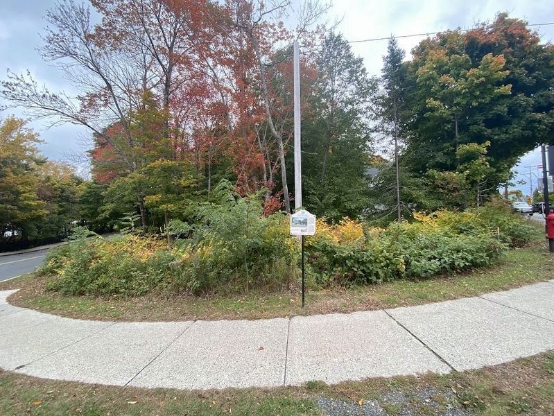
Photographed by Darren Jefferson Clay, October 16, 2024
2. The Great Fire Marker
Other nearby markers. At least 8 other markers are within walking distance of this marker: DeGregoire Green (within shouting distance of this marker); Sunken Garden (about 500 feet away, measured in a direct line); La Rochelle (about 600 feet away); The Cottage Era (approx. 0.2 miles away); Bar Harbor Municipal Building (approx. ¼ mile away); The Kedge (approx. 0.3 miles away); Bar Island (approx. 0.3 miles away); In Memory of Those Who Made the Supreme Sacrifice (approx. 0.3 miles away). Touch for a list and map of all markers in Bar Harbor.
Credits. This page was last revised on November 10, 2024. It was originally submitted on November 4, 2024, by Darren Jefferson Clay of Duluth, Georgia. This page has been viewed 202 times since then and 42 times this year. Photos: 1, 2. submitted on November 4, 2024, by Darren Jefferson Clay of Duluth, Georgia. • Michael Herrick was the editor who published this page.
