Penetanguishene in Simcoe County, Ontario — Central Canada (North America)
James Keating
c.1786 — 1849
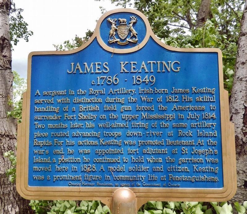
Photographed by Cosmos Mariner, June 7, 2024
1. James Keating (marker south side • English)
WikiTree website entry
Click for more information.
Click for more information.

this page online
Erected by Ontario Heritage Foundation / Fondation du patrimoine ontarien.
Topics and series. This historical marker is listed in this topic list: War of 1812. In addition, it is included in the Canada, Ontario Heritage Trust series list. A significant historical month for this entry is July 1814.
Location. 44° 48.272′ N, 79° 56.022′ W. Marker is in Penetanguishene, Ontario, in Simcoe County. It can be reached from Jury Drive 0.8 kilometers north of Broad Street. The marker and subject Keating house are located along the Discovery Harbour interpretive trail, about 0.5 km north of the Visitor Center. Touch for map. Marker is at or near this postal address: 93 Jury Drive, Penetanguishene ON L9M 1G1, Canada. Touch for directions.

Regionally, this marker is in Central Ontario Cottage Country and specifically in Georgian Bay Country.
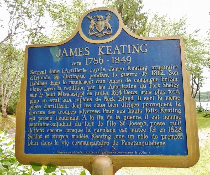
Photographed by Cosmos Mariner, June 7, 2024
2. James Keating
(marker north side • Français)
(marker north side • Français)
Other nearby markers. At least 8 other markers are within 5 kilometers of this marker, measured as the crow flies: Henry Wolsey Bayfield (approx. 0.3 kilometers away); Métis Dwelling / Demeure Métis (approx. 0.4 kilometers away); Naval and Military Establishments on Lake Huron / Établissements navals et militaires du lac Huron (approx. half a kilometer away); “Tigress” — “Scorpion” (approx. 1.5 kilometers away); Huronia Park (approx. 1.6 kilometers away); St. James-on-the-Lines (approx. 2 kilometers away); C. Beck Manufacturing Company / la société C. Beck Manufacturing Co. Ltd. (approx. 3.3 kilometers away); Penetanguishene Tercentenary Polar Sea Expedition (approx. 3.6 kilometers away). Touch for a list and map of all markers in Penetanguishene.
More about this marker. There is a Discovery Harbour entrance

Photographed by Cosmos Mariner, June 7, 2024
3. James Keating Marker
Looking north; James Keating house is in the background
Also see . . . Battle of Prairie du Chien. Wikipedia entry:
Excerpt: On July 17 [1814], the British force arrived at Prairie du Chien. Late in the morning, they approached Fort Shelby to deliver a note demanding the Americans' unconditional surrender. The Americans refused and prepared to defend the fort. The battle began early in the afternoon. Perhaps the most important part of the [British] force was a brass 3-pounder gun, under the charge of Sergeant James Keating of the Royal Artillery. The gun damaged the Governor Clark and compelled it to retreat downriver. The boat carried the Americans' cannon and a substantial supply of goods and ammunition, as well as the volunteers still under the command of Frederick Yeizer...(Submitted on November 8, 2024, by Cosmos Mariner of Cape Canaveral, Florida.)
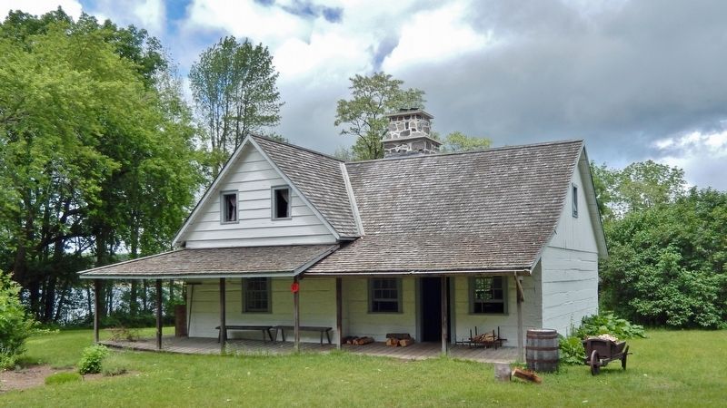
Photographed by Cosmos Mariner, June 7, 2024
4. James Keating House (south elevation)

Photographed by Cosmos Mariner, June 7, 2024
5. James Keating House (east elevation)
Credits. This page was last revised on September 12, 2025. It was originally submitted on November 8, 2024, by Cosmos Mariner of Cape Canaveral, Florida. This page has been viewed 245 times since then and 40 times this year. Photos: 1, 2, 3, 4, 5. submitted on November 8, 2024, by Cosmos Mariner of Cape Canaveral, Florida.
