Mitte in Nürnberg, Bavaria, Germany — Central Europe
Peststadel Tetzelgasse 30
Photographed by James Hulse, September 30, 2024
1. Peststadel Tetzelgasse 30 Marker

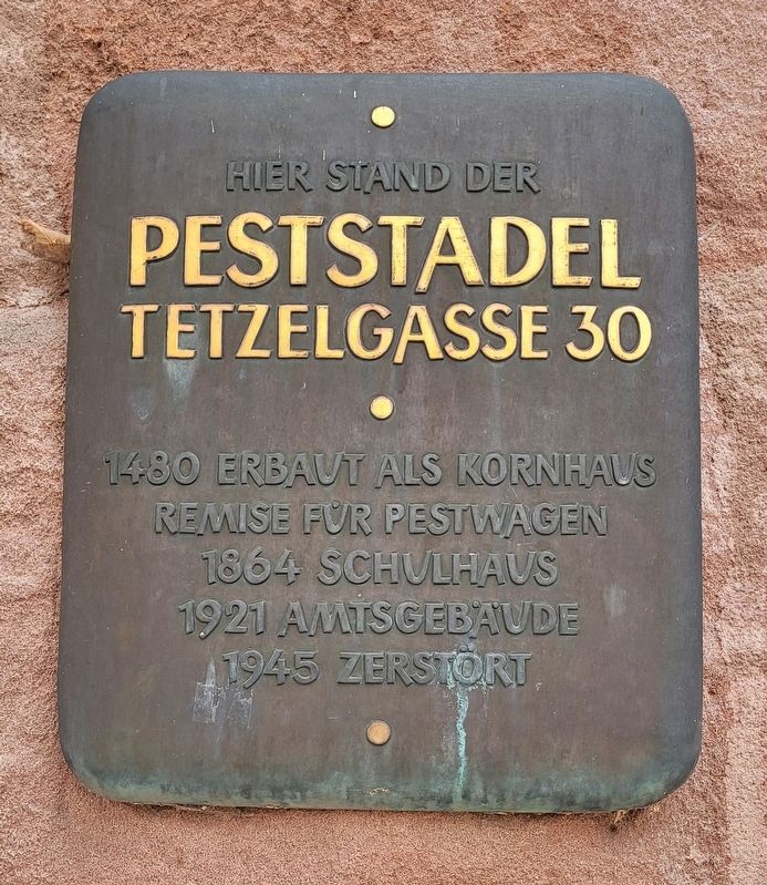
Hier Stand Der Peststadel Tetzelgasse 30
1480 Erbaut Als Kornhaus Remise Für Pestwagen
1864 Schulhaus
1921 Amtsgebaude
1945 Zerstort
Here stood the Peststadel Tetzelgasse 30
1480 Built as a granary shed for plague wagons
1864 Schoolhouse
1921 Office building
1945 Destroyed
Topics. This historical marker is listed in this topic list: Notable Buildings. A significant historical year for this entry is 1480.
Location. 49° 27.42′ N, 11° 4.828′ E. Marker is in Nürnberg, Bayern (Bavaria). It is in Mitte. It is at the intersection of Dr.-Erich-Mulzer-Straße and Egidienpl., on the right when traveling west on Dr.-Erich-Mulzer-Straße. The marker is located along the wall of the ruins. Touch for map. Marker is at or near this postal address: Dr.-Erich-Mulzer-Straße 12, Nürnberg BY 90403, Germany. Touch for directions.

Regionally, this marker is in German Franconia. Globally, it is in Europe, the European Union, Atlantic Europe, Central Europe, the Schengen Area, Western Europe, and the Western World. Historically, it finds itself in what was once the Holy Roman Empire and
this page online
Other nearby markers. At least 8 other markers are within walking distance of this marker: Der Wiederaufbau des Pellerhofes / The Reconstruction of the Pellerhof (within shouting distance of this marker); Anton Koberger (within shouting distance of this marker); Egidienkirche / Church of St. Giles (within shouting distance of this marker); Johann Neudörfer (about 180 meters away, measured in a direct line); Zum Gedenken an unsere Kameraden / In Memory of our Comrades (about 210 meters away); Kaiser Stallung / Imperial Stables (about 210 meters away); Kaiserburg Nürnberg / Imperial Castle Nuremberg (approx. 0.2 kilometers away); Landauer Kapelle / Landauer Chapel (approx. 0.2 kilometers away). Touch for a list and map of all markers in Nürnberg.
Photographed by James Hulse, September 30, 2024
2. Peststadel Tetzelgasse 30 Marker
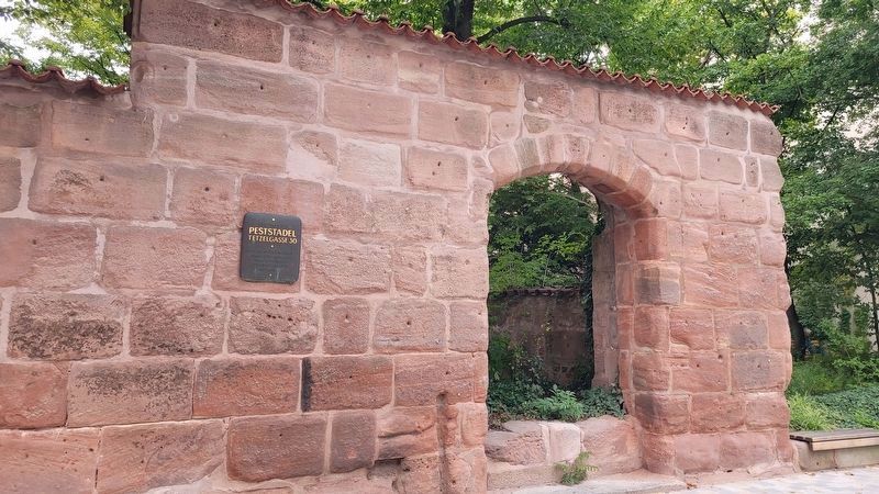
The marker is located on the wall of the ruins.
Photographed by James Hulse, September 30, 2024
3. Peststadel Tetzelgasse 30 Marker
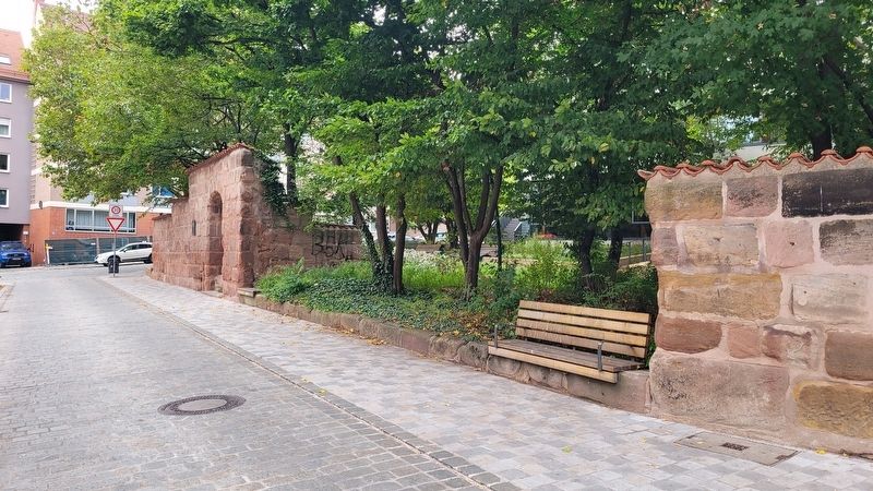
The view of the ruins along the road
Credits. This page was last revised on November 9, 2024. It was originally submitted on November 8, 2024, by James Hulse of Medina, Texas. This page has been viewed 128 times since then and 21 times this year. Photos: 1, 2, 3. submitted on November 9, 2024, by James Hulse of Medina, Texas.
