Mitte in Nürnberg, Bavaria, Germany — Central Europe
Laufer Schlagturm
⎯⎯⎯
Laufer Battle Tower
Photographed by James Hulse, September 30, 2024
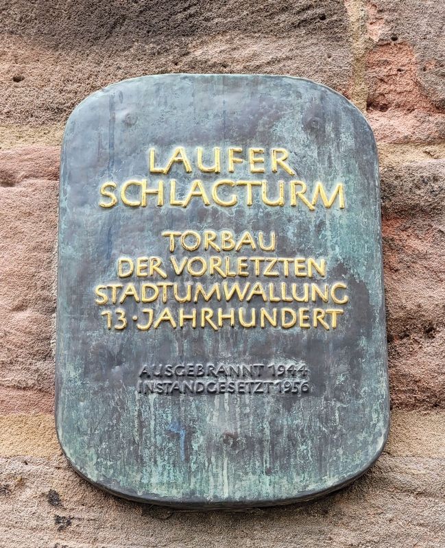
1. Laufer Schlagturm / Laufer Battle Tower Marker

Torbau der vorletzten stadtumwallung 13-jahrhundert. Ausgebrannt 1944 instandgesetzt 1956
Gate construction of the second-to-last city wall, 13th century. Burned out in 1944, repaired in 1956
Topics. This historical marker is listed in this topic list: Forts and Castles. A significant historical year for this entry is 1944.
Location. 49° 27.368′ N, 11° 5.021′ E. Marker is in Nürnberg, Bayern (Bavaria). It is in Mitte. It is at the intersection of Innerer Laufer Pl. and Laufer Schlagturm, on the right when traveling west on Innerer Laufer Pl.. The marker is located at the base of the tower. Touch for map. Marker is at or near this postal address: Am Laufer Schlagturm 6, Nürnberg BY 90403, Germany. Touch for directions.

Regionally, this marker is in German Franconia. Globally, it is in Europe, the European Union, Atlantic Europe, Central Europe, the Schengen Area, Western Europe, and the Western World. Historically, it finds itself in what was once the Holy Roman Empire and also the former West Germany.
Other nearby markers. At least 8 other markers are within walking
this page online
Photographed by James Hulse, September 30, 2024
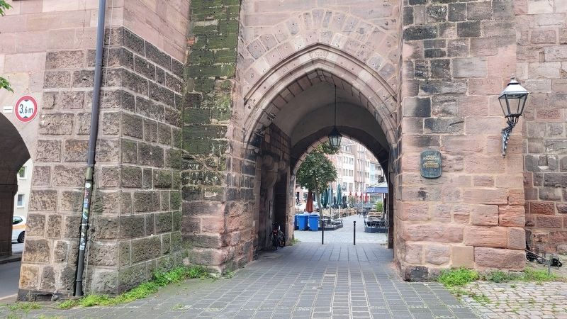
2. Laufer Schlagturm / Laufer Battle Tower Marker
The marker is located at the base of the tower next to the pedestrian tunnel.
Photographed by James Hulse, September 30, 2024
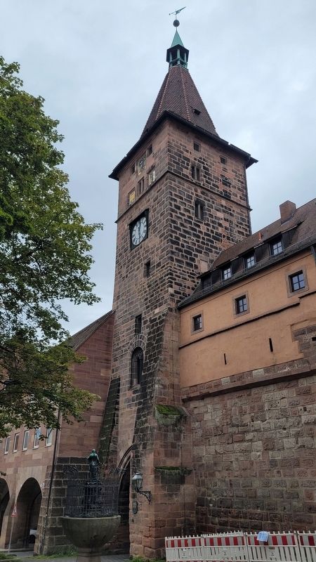
3. The view of the Laufer Battle Tower
Credits. This page was last revised on November 9, 2024. It was originally submitted on November 8, 2024, by James Hulse of Medina, Texas. This page has been viewed 184 times since then and 43 times this year. Photos: 1, 2, 3. submitted on November 9, 2024, by James Hulse of Medina, Texas.
