Mitte in Nürnberg, Bavaria, Germany — Central Europe
Wehrturm
⎯⎯⎯
Defense Tower
Hintere-Insel-Schütt 20
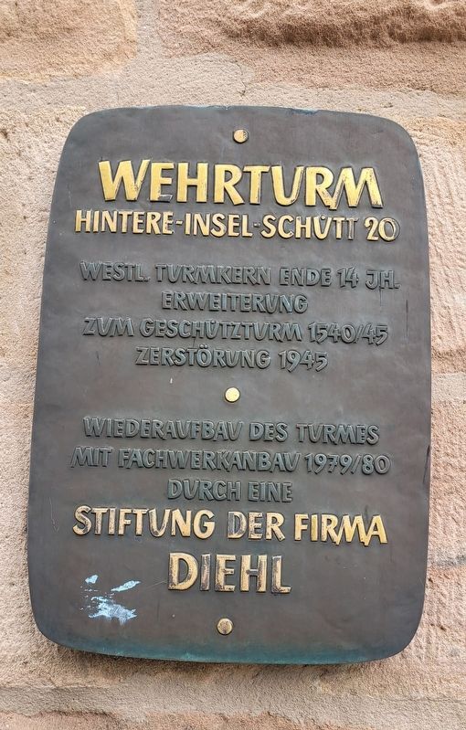
Photographed by James Hulse, September 30, 2024
1. Wehrturm / Defense Tower Marker

Westl. Turmkern ende 14 jh. Erweiterung zum geschützturm 1540/45. Zerstörung 1945. Wiederaufbav des turmes mit fachwerkanbau 1979/80 durch eine stiftung der firma Diehl.
Western tower core from the late 14th century. Expanded into a fortified tower in 1540/45. Destroyed in 1945. Reconstruction of the tower with a half-timbered extension in 1979/80 through a foundation by the Diehl company.
Topics. This historical marker is listed in this topic list: Forts and Castles. A significant historical year for this entry is 1945.
Location. 49° 27.154′ N, 11° 5.116′ E. Marker is in Nürnberg, Bayern (Bavaria). It is in Mitte. It is on Hintere Insel Schütt just north of Agnesbrücke, on the right when traveling north. The marker is located at the base of the tower. Touch for map. Marker is at or near this postal address: Hintere Insel Schütt 20F, Nürnberg BY 90402, Germany. Touch for directions.

Regionally, this marker is in German Franconia. Globally, it is in Europe, the European Union, Atlantic Europe, Central Europe, the Schengen Area, Western Europe, and the Western World. Historically, it finds itself in what was once the Holy Roman Empire and also the former West Germany.
Other nearby markers. At least 8 other markers are within walking distance of this marker: Wehrturm Tratzenzwinger / Defensive Tower with Sentry Enclosure (within shouting distance of this marker); Rudolf Koch (about 240 meters away, measured in a direct line); Heilig-Geist-Spital / Hospital of the Holy Spirit (approx. 0.3 kilometers away); Nürnberger Hauptsynagoge / Nuremberg Main Synagogue (approx. 0.3 kilometers away); Leo Katzenberger (approx. 0.3 kilometers away); Sara Berger (approx. 0.4 kilometers away); Lemel Berger (approx. 0.4 kilometers away); Georg J. Mayer (approx. 0.4 kilometers
this page online
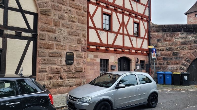
Photographed by James Hulse
2. Wehrturm / Defense Tower Marker
The marker is located at the base of the tower.
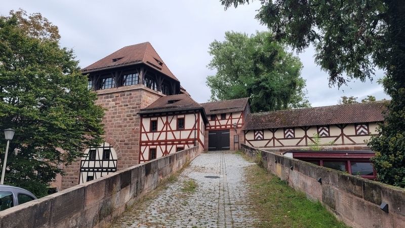
Photographed by James Hulse, September 30, 2024
3. Wehrturm / Defense Tower Marker
The view of a ramp and the tower along the wall.
Credits. This page was last revised on November 9, 2024. It was originally submitted on November 9, 2024, by James Hulse of Medina, Texas. This page has been viewed 129 times since then and 11 times this year. Photos: 1, 2, 3. submitted on November 9, 2024, by James Hulse of Medina, Texas.
