
Eastmount in Hamilton, Ontario — Central Canada (North America)
Hamilton Public Library’s Mountain Branch
Photographed by Tim Boyd, November 13, 2024
1. Hamilton Public Library’s Mountain Branch Marker
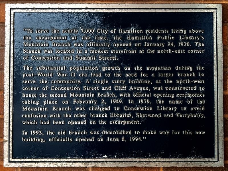
"To serve the nearly 7,000 City of Hamilton residents living above she escarpment at the time, the Hamilton Public Library's Mountain Branch Was officially opened on January 24, 1930. The branch was located in a modest storefront at the north-east corner of Concession and Summit Streets.
The substantial population growth on the mountain during the post-World War II era lead to the need for a larger branch to serve the community. A single story building, at the north-west corner of Concession Street and Cliff Avenue, was constructed to house the second Mountain Branch, with official opening ceremonies taking place on February 2, 1949. In 1979, the name of the Mountain Branch was changed to Concession Library to avoid confusion with the other branch libraries, Sherwood and Terryberry, which had been opened on the escarpment.
In 1993, the old branch was demolished to make way for this new building, officially opened on June 6, 1994.”
Topics. This historical marker is listed in this topic list: Education. A significant historical date for this entry is January 24, 1930.
Location. 43° 14.45′ N, 79° 51.091′ W. Marker is in Hamilton, Ontario.
this page online

Regionally, this marker is on Ontario’s Golden Horseshoe, in the Hamilton-Halton-Brant Area, and specifically in the Toronto Metropolitan Area. It is also in Central Canada. Globally, it is in North America, the Western Hemisphere, the Western World, and the Anglosphere. Historically, it finds itself in what was once a British colony, the Viceroyalty of New France, the Haudenosaunee (Iroquois) Confederacy, and Rupert’s Land.
Other nearby markers. At least 8 other markers are within walking distance of this marker: Early Black Community on Hamilton Mountain (a few steps from this marker); Horatio George Summers (approx. 0.3 kilometers away); East End Incline Railway (approx. 0.3 kilometers away); Nora Frances Henderson 1897-1949 (approx. half a kilometer away); The St. Clair Avenue and St. Clair Boulevard Heritage Conservation District (approx.

Photographed by Tim Boyd, November 13, 2024
2. Hamilton Public Library’s Mountain Branch Marker

Photographed by Tim Boyd, November 13, 2024
3. Hamilton Public Library Concession (former Mountain) Branch
Credits. This page was last revised on November 18, 2024. It was originally submitted on November 14, 2024, by Tim Boyd of Hamilton, Ontario. This page has been viewed 171 times since then and 27 times this year. Photos: 1, 2, 3. submitted on November 14, 2024, by Tim Boyd of Hamilton, Ontario. • Andrew Ruppenstein was the editor who published this page.
