
Pleasant Grove in Utah County, Utah — The American Mountains (Southwest)
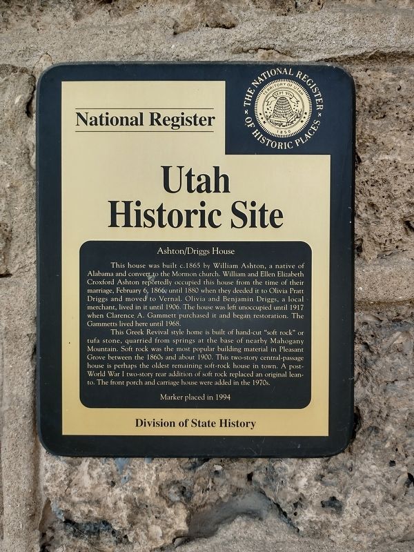
Ashton
⎯⎯⎯
Driggs House
| — | Utah Historic Site | — |
Photographed by Tom Bosse, July 28, 2024
1. Ashton / Driggs House Marker
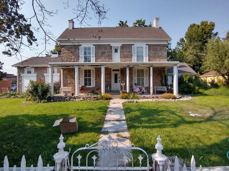
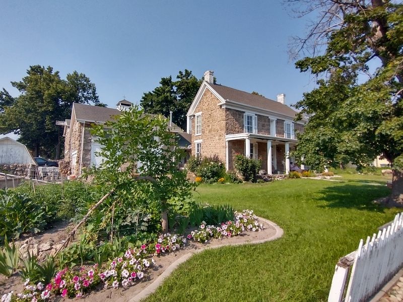
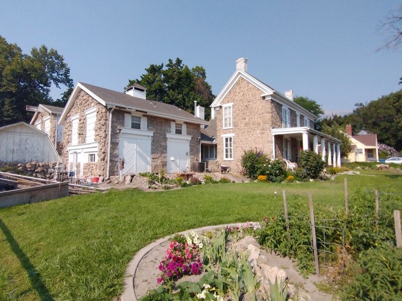
This Greek Revival style home is built of hand-cut "soft rock" or tufa stone, quarried from springs at the base of nearby Mahogany Mountain. Soft rock was the most popular building material in Pleasant Grove between the 1860s and about 1900. This two-story central-passage house is perhaps the oldest remaining soft-rock house in town. A post-World War I two-story rear addition of soft rock replaced an original lean-to. The front porch and carriage house were added in the 1970s.
Erected 1994 by Division of State History.
Topics. This historical marker is listed in this topic list: Architecture. A significant historical date for this entry is February 6, 1866.
Location. 40° 21.688′ N,
this page online

Regionally, this marker is in the Wasatch Front and in Greater Provo. It is also in the American Mountain West and on the Colorado Plateau. Globally, it is in North America, the Rocky Mountains, the Western Hemisphere, the Western World, and the Anglosphere. Historically, it finds itself in what was once New Spain and also Mexico’s Alta California.
Other nearby markers. At least 8 other markers are within walking distance of this marker: Benjamin W. Driggs Home (here, next to this marker); Civil War Skirmish at Pleasant Grove (within shouting distance of this marker); Winter Corral (within shouting distance of this marker); "Soft-Rock" (within shouting distance of this marker); Pleasant Grove Town Hall (about 300 feet away, measured in a direct line); History of Pleasant Grove Train Station
Photographed by Tom Bosse, July 28, 2024
2. Ashton / Driggs House Marker
Another marker is no longer nearby. The Ashton House (was here, next to this marker but has been permanently removed).
Photographed by Tom Bosse, July 28, 2024
3. Ashton / Driggs House Marker
Photographed by Tom Bosse, July 28, 2024
4. Ashton / Driggs House Marker
Credits. This page was last revised on November 17, 2024. It was originally submitted on November 15, 2024, by Tom Bosse of Jefferson City, Tennessee. This page has been viewed 283 times since then and 51 times this year. Photos: 1, 2, 3, 4. submitted on November 15, 2024, by Tom Bosse of Jefferson City, Tennessee. • Andrew Ruppenstein was the editor who published this page.
