
Pittsfield in Merrimack County, New Hampshire — The American Northeast (New England)
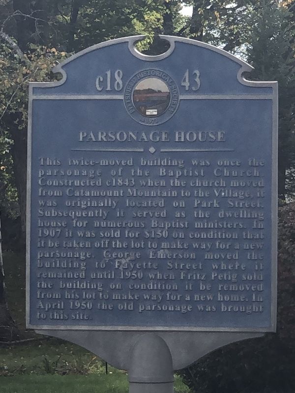
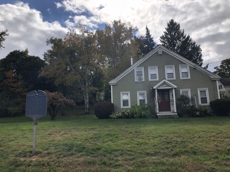
Parsonage House
c 1843
Photographed by Duane and Tracy Marsteller, October 2, 2024
1. Parsonage House Marker
Erected 1999 by Pittsfield Historical Society. (Marker Number 29.)
Topics and series. This historical marker is listed in this topic list: Notable Buildings. In addition, it is included in the New Hampshire, Pittsfield Historical Trail series list. A significant historical year for this entry is 1843.
Location. 43° 18.428′ N, 71° 19.623′ W. Marker is in Pittsfield, New Hampshire, in Merrimack County. It is at the intersection of Bridge Street and Chestnut Street, on the right when traveling east on
this page online

Regionally, this marker is in the American Northeast and in New England. Globally, it is in North America, the Western Hemisphere, the Western World, and the Anglosphere. Historically, it finds itself in what was once one of the original Thirteen Colonies.
Other nearby markers. At least 8 other markers are within walking distance of this marker: Pittsfield Weaving Company (about 300 feet away, measured in a direct line); Drake Field (about 400 feet away); Old Engine House (about 500 feet away); Mary's Bridge (about 700 feet away); G.A.R. Building (about 700 feet away); Free Will Baptist Church (about 700 feet away); Congregational Church (about 700 feet away); Fort Wilkins (about 700 feet away). Touch for a list and map of all markers in Pittsfield.
Also see . . . Pittsfield Historical Trail (PDF). Historical guide for a 1.5-mile loop trail developed by the Pittsfield Historical Society. The trail stops at three dozen historical sites that were typical of
Photographed by Duane and Tracy Marsteller, October 2, 2024
2. Parsonage House Marker
Credits. This page was last revised on November 16, 2024. It was originally submitted on November 15, 2024, by Duane and Tracy Marsteller of Murfreesboro, Tennessee. This page has been viewed 149 times since then and 20 times this year. Photos: 1, 2. submitted on November 15, 2024, by Duane and Tracy Marsteller of Murfreesboro, Tennessee.
