Sarasota in Sarasota County, Florida — The American South (South Atlantic)
Cherokee Park
It Started with a Wall/Legacy Preserved
Photographed by Brandon D Cross
1. Cherokee Park Marker (side 1)
Cherokee Park
It Started with a Wall
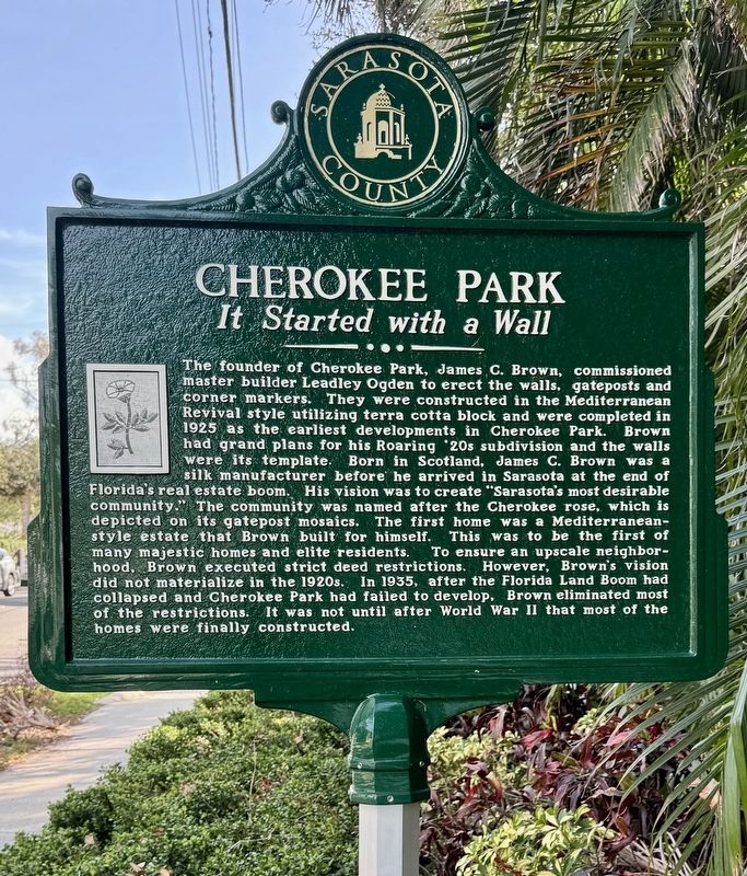
The founder of Cherokee Park, James C. Brown, commissioned master builder Leadley Ogden to erect the walls, gateposts and corner markers. They were constructed in the Mediterranean Revival style utilizing terra cotta block and were completed in 1925 as the earliest developments in Cherokee Park. Brown had grand plans for his Roaring 20s subdivision and the walls were its template. Born in Scotland, James C. Brown was a silk manufacturer before he arrived in Sarasota at the end of Florida's real estate boom. His vision was to create "Sarasota's most desirable community.” The community was named after the Cherokee rose, which is depicted on its gatepost mosaics. The first home was a Mediterranean-style estate that Brown built for himself. This was to be the first of many majestic homes and elite residents. To ensure an upscale neighborhood, Brown executed strict deed restrictions. However, Brown's vision did not materialize in the 1920s. In 1935, after the Florida Land Boom had collapsed and Cherokee Park had failed to develop, Brown eliminated most of the restrictions. It
this page online
(side 2)
Cherokee Park
Legacy Preserved
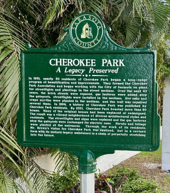
In 1951, nearly 50 residents of Cherokee Park began a long-range program of beautification and improvements. They formed the Cherokee Park Association and began working with the city of Sarasota on plans for streetlights and plantings in the street medians. Over the next 43 years, the brick streets were repaved, gas lanterns were added atop the gateposts, streetlights were installed in the medians, live oaks and crape myrtles were planted in the medians, and the wall was repaired several times. In 1994, a history of Cherokee Park was published by Cherokee Park residents. By 2021, Cherokee Park boasted more than 90 homes. Many of the original houses had been replaced or redesigned. The result was a vibrant neighborhood of diverse architectural styles and residents. The streetlights and signs were replaced and the gas lanterns atop the gateposts were exchanged for electric ones. Shrubs and foliage were planted at the entrances. Through the work of its residents. Mr. Brown's vision for Cherokee Park was realized,
Photographed by Brandon D Cross
2. Cherokee Park Marker (side 2)
Erected by Sarasota County.
Topics. This historical marker is listed in this topic list: Architecture. A significant historical year for this entry is 1925.
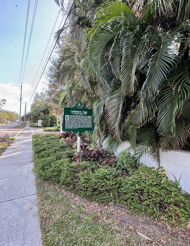
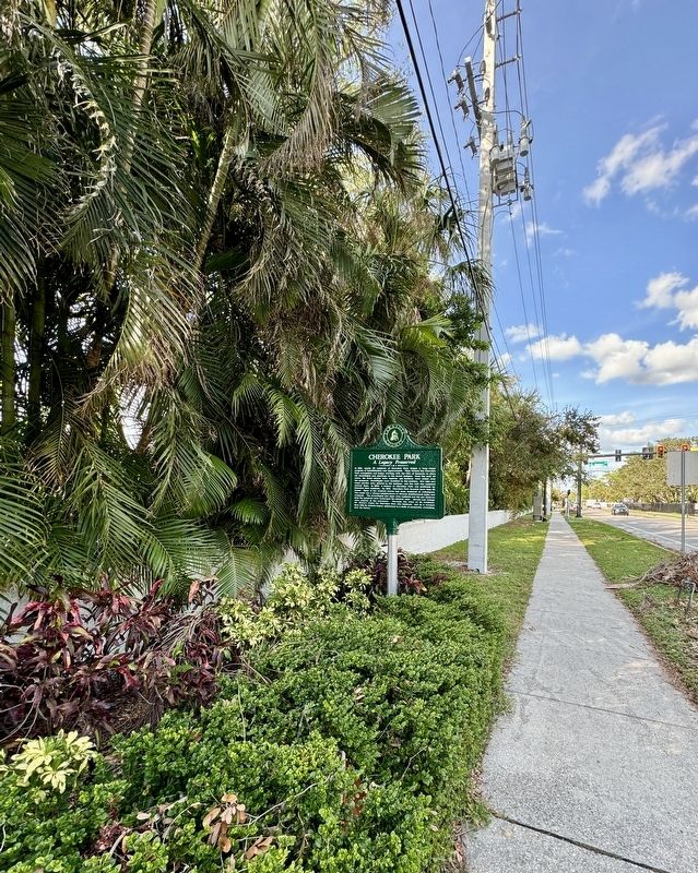
Location. 27° 18.475′ N, 82° 32.029′ W. Marker is in Sarasota, Florida, in Sarasota County. It is at the intersection of South Osprey Avenue and Cherokee Drive, on the right when traveling south on South Osprey Avenue. Touch for map. Marker is in this post office area: Sarasota FL 34239, United States of America. Touch for directions.

Regionally, this marker is on Florida’s Gulf Coast. It is also in the American South and on the Gulf Coast. Globally, it is in the North Atlantic Region, North America, a Gulf of Mexico state, the Western Hemisphere, the Western World, and the Anglosphere. Historically, it finds itself in what was once New Spain, the territory of the Mississippian Culture, one of the Confederate States of America, and the Antebellum South.
Other nearby markers. At least 8 other markers are within one mile of this marker, measured
Photographed by Brandon D Cross
3. Cherokee Park Marker (side 1)
Also see . . .
1. Cherokee Park - A Dream Fulfilled. (Submitted on November 15, 2024, by Brandon D Cross of Flagler Beach, Florida.)
2. A Short History of Cherokee Park. (Submitted on November 15, 2024, by Brandon D Cross of Flagler Beach, Florida.)
Photographed by Brandon D Cross
4. Cherokee Park Marker (side 2)
Credits. This page was last revised on November 16, 2024. It was originally submitted on November 15, 2024, by Brandon D Cross of Flagler Beach, Florida. This page has been viewed 298 times since then and 72 times this year. Photos: 1, 2, 3, 4. submitted on November 15, 2024, by Brandon D Cross of Flagler Beach, Florida. • Bernard Fisher was the editor who published this page.
