Turtle Creek Township near Hardin in Shelby County, Ohio — The American Midwest (Great Lakes)
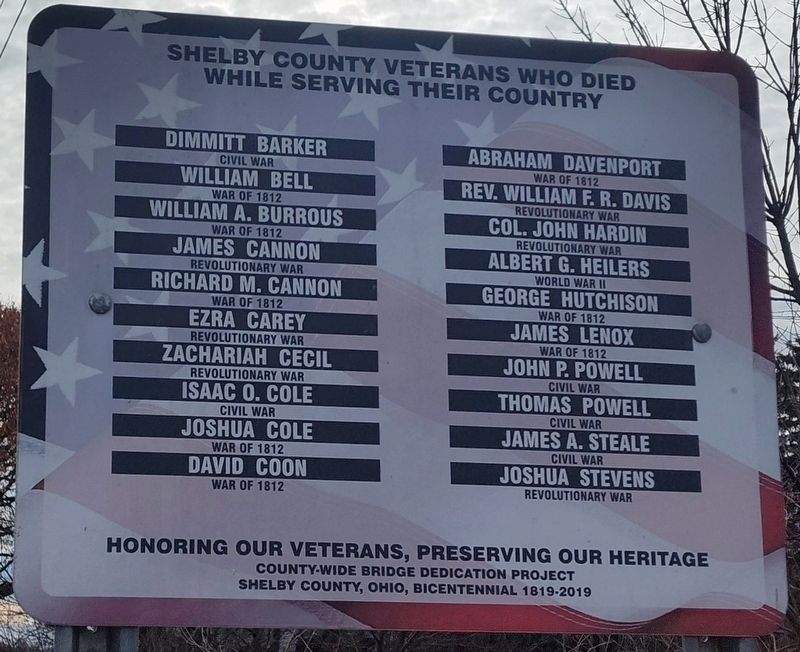
Shelby County Veterans Who Died While Serving Their Country
Honoring Our Veterans, Preserving Our Heritage
| — | County-Wide Bridge Dedication Project Shelby County, Ohio, Bicentennial 1819-2019 | — |
Photographed by Craig Doda, November 9, 2024
1. Shelby County Veterans Who Died While Serving Their Country Marker
Dimmitt Barker - Civil War • William Bell - War Of 1812 • William A. Burrous - War Of 1812 • James Cannon - Revolutionary War • Richard M. Cannon - War Of 1812 • Ezra Carey - Revolutionary War • Zachariah Cecil - Revolutionary War • Isaac O. Cole - Civil War • Joshua Cole - War Of 1812 • David Coon - War Of 1812 • Abraham Davenport - War Of 1812 • Rev. William F. R. Davis - Revolutionary War • Col. John Hardin - Revolutionary War • Albert G. Heilers - World War II • George Hutchison - War Of 1812 • James Lenox - War Of 1812 • John P. Powell - Civil War • Thomas Powell - Civil War • James A. Steale - Civil War • Joshua Stevens - Revolutionary War
Erected 2019 by Shelby County, Ohio.
Topics. This memorial is listed in this topic list: Military.
Location. 40° 20.923′ N, 84° 14.821′ W. Memorial is near Hardin, Ohio, in Shelby County. It is in Turtle Creek Township. It is on Hardin Wapak Road (County Route 20) half a mile north of Ohio Route 705, on the right when traveling south. Touch for map. Memorial is at or near this postal address: 10328 Hardin Wapak Rd, Sidney
this page online

Regionally, this memorial is in the Till Plains. It is also in the American Midwest and in the Corn Belt. Globally, it is in North America, the Western Hemisphere, the Western World, and the Anglosphere. Historically, it finds itself in what was once the Haudenosaunee (Iroquois) Confederacy, the territory of the Mississippian Culture, and the Northwest Territory.
Other nearby markers. At least 8 other markers are within 5 miles of this marker, measured as the crow flies: St. Patrick Catholic Church (approx. 2.7 miles away); Hardin (approx. 4.3 miles away); a different marker also named Hardin (approx. 4.3 miles away); The Site of the St. Jacob Lutheran Church and Cemetery (approx. 4.3 miles away); Village of Rumley (approx. 4.6 miles away); Brookside Cemetery (approx. 4.8 miles away); John W. Carey (approx. 4.9 miles away); Anna Town Hall (approx. 4.9 miles away).
Another marker is no longer nearby. Rumley (was approx. 4.6 miles away but has been confirmed missing).
Photographed by Craig Doda, November 9, 2024
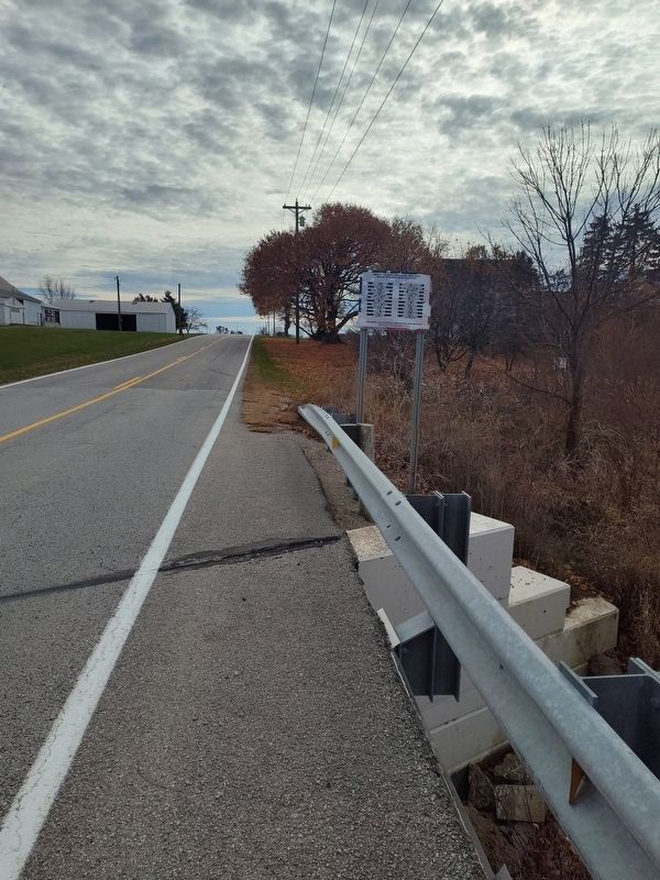
2. Shelby County Veterans Who Died While Serving Their Country Marker
Photographed by Craig Doda, November 9, 2024
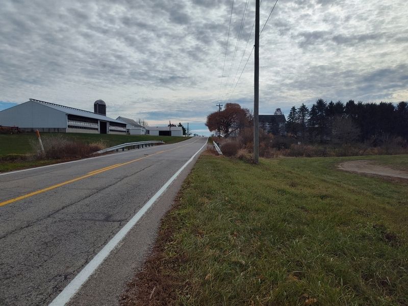
3. Hardin-Wapakoneta Road Bridge
Credits. This page was last revised on December 2, 2024. It was originally submitted on November 16, 2024, by Craig Doda of Napoleon, Ohio. This page has been viewed 199 times since then and 44 times this year. Photos: 1, 2, 3. submitted on November 16, 2024, by Craig Doda of Napoleon, Ohio. • Devry Becker Jones was the editor who published this page.
