Pleasant Grove in Utah County, Utah — The American Mountains (Southwest)
Lewis W. and Lydia Brown Lunch House
| — | Pleasant Grove Historic District | — |
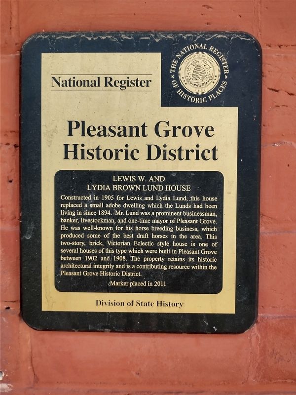
Photographed by Tom Bosse, July 28, 2024
1. Lewis W. and Lydia Brown Lunch House Marker
Erected 2011 by Division of State History.
Topics. This historical marker is listed in this topic list: Architecture. A significant historical year for this entry is 1905.
Location. 40° 21.756′ N, 111° 44.254′ W. Marker is in Pleasant Grove, Utah, in Utah County. It is at the intersection of East 100 South and South 200 East, on the left when traveling east on East 100 South. Touch for map. Marker is at or near this postal address: 189 East 100 South, Pleasant Grove UT 84062, United States of America.
this page online

Regionally, this marker is in the Wasatch Front and in Greater Provo. It is also in the American Mountain West and on the Colorado Plateau. Globally, it is in North America, the Rocky Mountains, the Western Hemisphere, the Western World, and the Anglosphere. Historically, it finds itself in what was once New Spain and also Mexico’s Alta California.
Other nearby markers. At least 8 other markers are within walking distance of this marker: History of Pleasant Grove Train Station (within shouting distance of this marker); Herron Cabin (within shouting distance of this marker); Pleasant Grove's First Fire Station (within shouting distance of this marker); Jeppa and Anna Nelson Granary (within shouting distance of this marker); Replica Log Cabin (about 300 feet away, measured in a direct line); Pleasant Grove Town Hall (about 300 feet away); Pleasant Grove City (about 300 feet away); Pioneer Flour Mill (about 300 feet away). Touch for a list and map of all markers in Pleasant Grove.
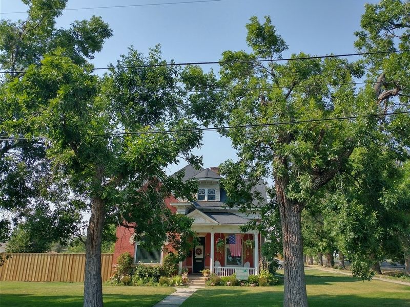
Photographed by Tom Bosse, July 28, 2024
2. Lewis W. and Lydia Brown Lunch House Marker
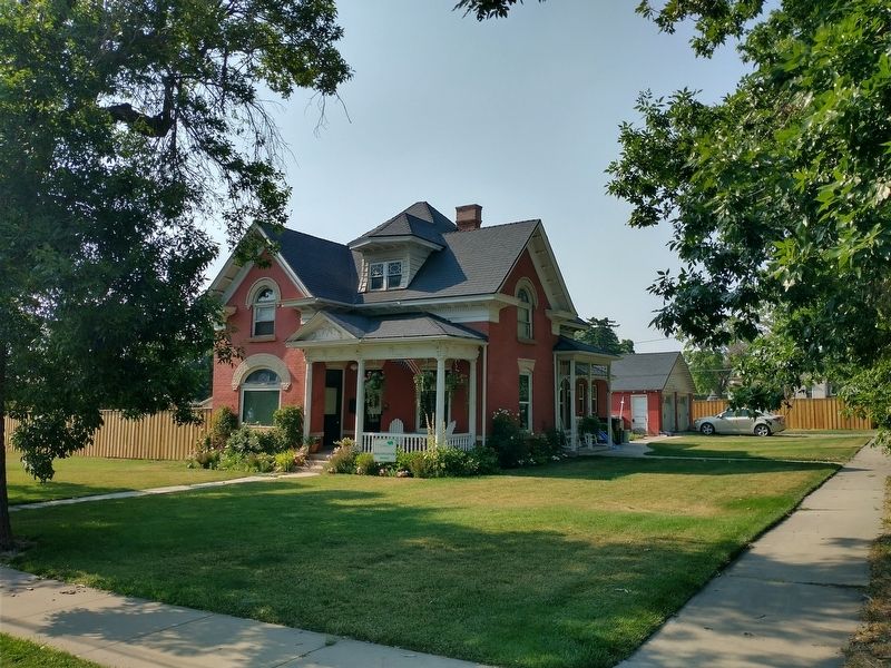
Photographed by Tom Bosse, July 28, 2024
3. Lewis W. and Lydia Brown Lunch House Marker
Credits. This page was last revised on November 17, 2024. It was originally submitted on November 16, 2024, by Tom Bosse of Jefferson City, Tennessee. This page has been viewed 114 times since then and 19 times this year. Photos: 1, 2, 3. submitted on November 16, 2024, by Tom Bosse of Jefferson City, Tennessee. • Andrew Ruppenstein was the editor who published this page.
