Pleasant Grove in Utah County, Utah — The American Mountains (Southwest)
Elijah Mayhew House
| — | Pleasant Grove Historic District | — |
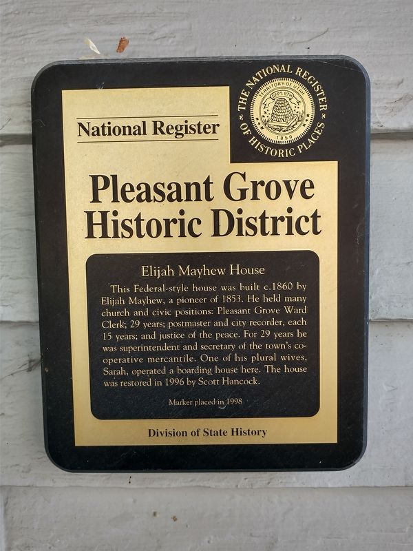
Photographed by Tom Bosse, July 28, 2024
1. Elijah Mayhew House Marker
Erected 1998 by Division of State History.
Topics. This historical marker is listed in this topic list: Notable Buildings. A significant historical year for this entry is 1860.
Location. 40° 21.661′ N, 111° 44.457′ W. Marker is in Pleasant Grove, Utah, in Utah County. It is at the intersection of South Main Street and East 200 South, on the left when traveling north on South Main Street. Touch for map. Marker is at or near this postal address: 214 South Main Street, Pleasant Grove UT 84062, United States of America. Touch for directions.

Regionally, this marker is in the Wasatch Front and in Greater Provo. It is also in the American Mountain West and on the Colorado Plateau. Globally, it
this page online
Other nearby markers. At least 8 other markers are within walking distance of this marker: Utah’s First Indian Battle (within shouting distance of this marker); Old Pleasant Grove Fort (about 400 feet away, measured in a direct line); Benjamin W. Driggs Home (about 700 feet away); Ashton / Driggs House (about 700 feet away); Civil War Skirmish at Pleasant Grove (about 700 feet away); "Soft-Rock" (about 800 feet away); Winter Corral (about 800 feet away); Pleasant Grove Town Hall (about 800 feet away). Touch for a list and map of all markers in Pleasant Grove.
Another marker is no longer nearby. The Ashton House (was about 700 feet away but has been permanently removed).
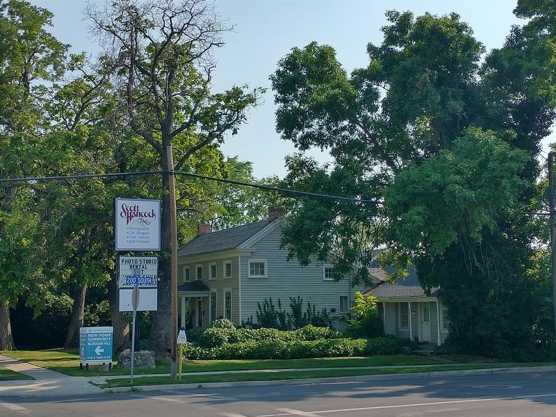
Photographed by Tom Bosse, July 28, 2024
2. Elijah Mayhew House Marker
Credits. This page was last revised on November 17, 2024. It was originally submitted on November 16, 2024, by Tom Bosse of Jefferson City, Tennessee. This page has been viewed 128 times since then and 14 times this year. Photos: 1, 2. submitted on November 16, 2024, by Tom Bosse of Jefferson City, Tennessee. • Andrew Ruppenstein was the editor who published this page.
