
Peterborough in Peterborough County, Ontario — Central Canada (North America)
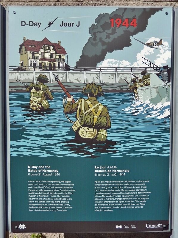
D-Day/Jour J
1944
Photographed by Cosmos Mariner, May 31, 2024
1. D-Day/Jour J Marker

D-Day and the Battle of Normandy
6 June-21 August 1944
After months of elaborate planning, the largest seaborne invasion in modern history commenced on 6 June 1944 (D-Day) to liberate northwestern Europe from German occupation. Canadian sailors, soldiers and airmen all played a part in the Allied invasion of Normandy, France. They provided cover from the air and sea, ferried troops to the shore, and battled their way inland breaking through enemy lines. A decisive Allied victory, the Battle of Normandy nevertheless cost more than 18,400 casualties among Canadians.
Le jour J et la bataille de Normandie
6 juin au 21 août 1944
Après des mois de minutieuse préparation, la plus grande invasion maritime de l'histoire moderne commença le 6 juin 1944 (jour J) pour libérer l'Europe du Nord-Ouest de l'occupation allemande. Marins, soldats et aviateurs canadiens eurent tous un rôle à jouer dans le débarquement allié en Normandie (France). Ils assurèrent une couverture aérienne et maritime, transportèrent des troupes jusqu'au littoral et enfoncèrent les lignes ennemies. Si la bataille de Normandie s'avéra une
this page online
Erected by Parks Canada / Parcs Canada.
Topics. This historical marker is listed in this topic list: War, World II. A significant historical date for this entry is June 6, 1944.
Location. 44° 18.415′ N, 78° 18.101′ W. Marker is in Peterborough, Ontario, in Peterborough County. It can be reached from Hunter Street East 0.1 kilometers west of Ashburnham Drive, on the left when traveling south. The marker is located near the Trent-Severn Waterway Peterborough Lift Lock Visitor Centre entrance. Touch for map. Marker is at or near this postal address: 353 Hunter Street East, Peterborough ON K9H 7B5, Canada. Touch for directions.

Regionally, this marker is in the Kawarthas Northumberland Area and in Eastern Ontario. It is also in Central Canada. Globally, it is in North America, the Western Hemisphere, the Western World, and the Anglosphere. Historically, it finds itself in what was once a British colony, the Viceroyalty of New France, the Haudenosaunee (Iroquois) Confederacy, and Rupert’s Land.
Other nearby markers. At least
Photographed by Cosmos Mariner, May 31, 2024
2. D-Day/Jour J Marker
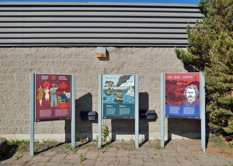
This is the center of three markers near the Trent-Severn Waterway Peterborough Lift Lock Visitor Centre entrance.
Also see . . . D-Day and the Battle of Normandy (The Canadian Encyclopedia).
(By Richard Foot, John Boileau & Tabitha de Bruin) Excerpt: The 1944 Battle of Normandy — from the D-Day landings on 6 June through to the encirclement of the German army at Falaise on 21 August — was one of the pivotal events of the Second World War and the scene of some of Canada's greatest feats of arms. Canadian sailors, soldiers and(Submitted on November 17, 2024, by Cosmos Mariner of Cape Canaveral, Florida.)airmen played a critical role in the Allied invasion of Normandy, also called Operation Overlord, beginning the bloody campaign to liberate Western Europe from Nazi occupation. Nearly 150,000 Allied troops landed or parachuted into the invasion area on D-Day, including 14,000 Canadians at Juno Beach. The Royal Canadian Navy contributed 124 vessels and 10,000 sailors and the Royal Canadian Air Force contributed 39 squadrons to the operation.Photographed by Cosmos Mariner, May 31, 20243. Trent-Severn Waterway Peterborough Lift Lock Visitor CentreThe marker is on the left side of the Visitor Centre entrance.

Credits. This page was last revised on May 14, 2025. It was originally submitted on November 16, 2024, by Cosmos Mariner of Cape Canaveral, Florida. This page has been viewed 113 times since then and 7 times this year. Photos: 1. submitted on November 16, 2024, by Cosmos Mariner of Cape Canaveral, Florida. 2, 3. submitted on November 17, 2024, by Cosmos Mariner of Cape Canaveral, Florida.
