Stoughton in Norfolk County, Massachusetts — The American Northeast (New England)
Stoughton's First Schoolhouse
Photographed by Conrad Ward, June 23, 2024
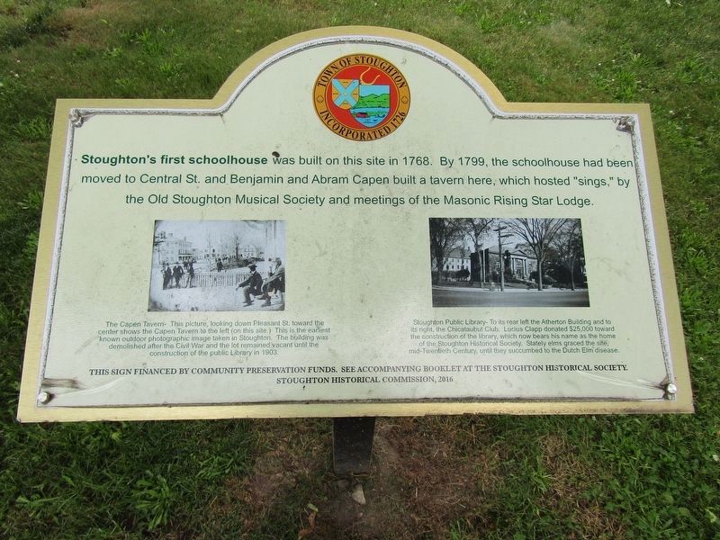
1. Stoughton's First Schoolhouse Marker
Stoughton's first schoolhouse was built on this site in 1768. By 1799, the schoolhouse had been moved to Central St. and Benjamin and Abram Capen built a tavern here, which hosted "sings," by the Old Stoughton Musical Society and meetings of the Masonic Rising Star Lodge.
Left Photo Caption:
The Capen Tavern- This picture, looking down Pleasant St. toward the center shows the Capen Tavern to the left (on this site.) This is the earliest known outdoor photographic image taken in Stoughton. The building was demolished after the Civil War and the lot remained vacant until the construction of the public Library in 1903.
Right Photo Caption:
Stoughton Public Library- To its rear left the Atherton Building and to its right, the Chicataubut Club. Lucius Clapp donated $25,000 toward the construction of the library, which now bears his name as the home of the Stoughton Historical Society. Stately elms graced the site, mid-Twentieth Century, until they succumbed to the Dutch Elm disease.
Stoughton Historical
this page online
Erected 2016 by Stoughton Historical Commission.
Topics. This historical marker is listed in this topic list: Education. A significant historical year for this entry is 1768.
Location. 42° 7.462′ N, 71° 6.067′ W. Marker is in Stoughton, Massachusetts, in Norfolk County. It is at the intersection of Pleasant Street (Massachusetts Route 139) and Park Street ( Route 139), on the right when traveling north on Pleasant Street. Located next to the Stoughton Historical Society. Touch for map. Marker is at or near this postal address: 6 Park Street, Stoughton MA 02072, United States of America. Touch for directions.

Regionally, this marker is in Greater Boston. It is also in the American Northeast, in New England, and on the Eastern Seaboard. Globally, it is in the North Atlantic Region, North America, the Western Hemisphere, the Western World, and the Anglosphere. Historically, it finds itself in what was once one of the original Thirteen Colonies.
Other nearby markers. At least 8 other markers are within walking distance of this marker: The Third Precinct of Stoughton (a few steps from this marker); First Public Schoolhouse
Photographed by Conrad Ward, June 23, 2024
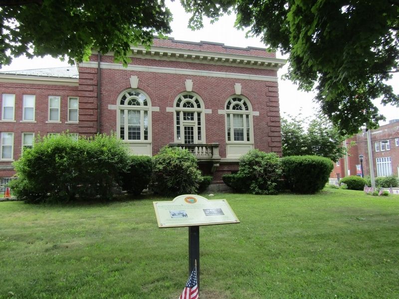
2. Stoughton's First Schoolhouse Marker
Credits. This page was last revised on November 25, 2024. It was originally submitted on November 16, 2024, by Conrad Ward of Guilford, Connecticut. This page has been viewed 206 times since then and 29 times this year. Photos: 1, 2. submitted on November 16, 2024, by Conrad Ward of Guilford, Connecticut. • Michael Herrick was the editor who published this page.
