
Flossenbürg in Neustadt an der Waldnaab, Bavaria, Germany — Central Europe
Geschichte
⎯⎯⎯
Story
Flossenbürg
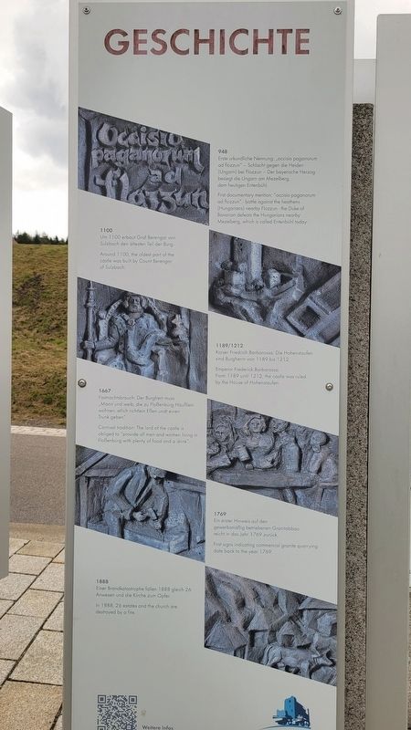
Photographed by James Hulse, September 27, 2024
1. Geschichte / Story Marker

948
Erste urkundliche Nennung occisio paganarum ad flazzun Schlacht gegen die Heiden (Ungarn) bei Flozzun-Der bayerische Herzog besiegt die Ungarn am Mezelberg dem heutigen Entenbühl.
1100
Um 1100 erbaut Graf Berengar von Sulzbach den ältesten Teil der Burg.
1189/1212
Kaiser Friedrich Barbarossa. Die Hohenstaufen sind Burgherm von 1189 bis 1212.
1667
Fasnachtsbrauch: Der Burgherr muss Mann und weib, die zu Floßenbürg Höufilein wohnen, etlich richtlein Eßen undt einen Trunk geben.
1769
Ein erster Hinweis auf den gewerbsmäßig betriebenen Granitabbau reicht in das Jahr 1769 zurück.
1888
Einer Brandkatastrophe fallen 1888 gleich 26 Anwesen und die Kirche zum Opfer.
948
First documentary mention: "occisio paganorum ad flozzun" - battle against the heathens (Hungarians) nearby Flozzun - the Duke of Bavarian defeats the Hungarians nearby Mezelberg, which is called Entenbühl today.
1100
Around 1100, the oldest part of the castle was built by Count Berengar of Sulzbach.
1189/1212
Emperor Frederick Barbarossa. From 1189 umill 1212, the castle was ruled by the House of Hohenstaufen.
1667
Carnival tradition. The lord of the castle is obliged to "provide all men and women living in Floßenbürg with plenty of food and a drink".
1769
First signs indicating commercial granite quarrying date back to the year 1769.
1888
In 1888, 26 estates and the church are destroyed by a fire.
Erected by Flossenbürg.
Topics. This historical marker is listed in this topic list: Forts and Castles.
Location. 49° 44.226′ N, 12° 21.27′ E. Marker is in Flossenbürg, Bayern (Bavaria), in Neustadt an der Waldnaab. It is on Silberhüttenstraße just north of Gedächtnisallee, on the left when traveling north. The marker is located
this page online

Regionally, it is in Europe, the European Union, Atlantic Europe, Central Europe, the Schengen Area, Western Europe, and the Western World. Historically, it finds itself in what was once the Holy Roman Empire and also the former West Germany.
Other nearby markers. At least 8 other markers are within walking distance of this marker: Gemeinde Kz-Gedenkstätte / Concentration Camp Memorial Community (here, next to this marker); Burg / Castle (here, next to this marker); SS-Wirtschaftsgebäude / SS Utility Building (within shouting distance of this marker); Kommandantur / Commandant's Headquarters (about 90 meters away, measured in a direct line); Konzentrationslager Flossenbürg / Flossenbürg Concentration Camp (about 90 meters away); Lagertor / Camp Gate (about 150 meters away); Appellplatz / Roll Call Square (about 210 meters away); Häftlingsküche / Prisoner Kitchen (about 210 meters away). Touch for a list and map of all markers in Flossenbürg.
Also see . . . Welcome to the Municipality of Flossenbürg.
Photographed by James Hulse, September 27, 2024
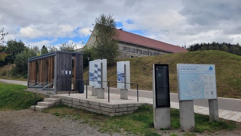
2. The view of the Story Marker Along the street
Photographed by James Hulse, September 27, 2024
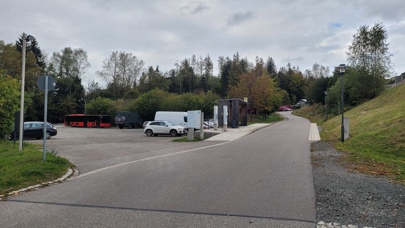
3. Geschichte / Story Marker
The view of the markers and parking area from the street
Credits. This page was last revised on September 30, 2026. It was originally submitted on November 17, 2024, by James Hulse of Medina, Texas. This page has been viewed 125 times since then and 37 times this year. Photos: 1, 2. submitted on November 18, 2024, by James Hulse of Medina, Texas. 3. submitted on November 19, 2024, by James Hulse of Medina, Texas.
