Schuylkill Haven in Schuylkill County, Pennsylvania — The American Northeast (Mid-Atlantic)
Dick Horning Memorial Field
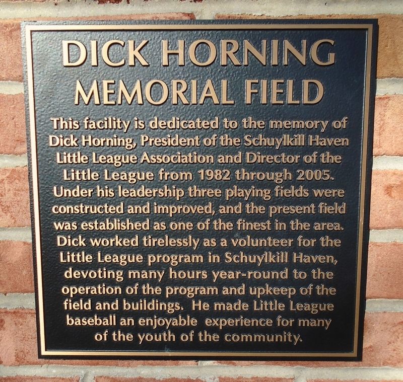
Photographed by William Fischer, Jr., November 12, 2024
1. Dick Horning Memorial Field Marker
Topics. This historical marker is listed in these topic lists: Charity & Public Work • Sports. A significant historical year for this entry is 1982.
Location. 40° 38.147′ N, 76° 9.88′ W. Marker is in Schuylkill Haven, Pennsylvania, in Schuylkill County. It is at the intersection of Main Street and Moyer Drive, on the left when traveling east on Main Street. Touch for map. Marker is in this post office area: Schuylkill Haven PA 17972, United States of America. Touch for directions.

Regionally, this marker is
this page online
Other nearby markers. At least 8 other markers are within walking distance of this marker: Earth (a few steps from this marker); Mars (within shouting distance of this marker); Venus (within shouting distance of this marker); The Sun (within shouting distance of this marker); Schuylkill County Vietnam Veterans Memorial (approx. 0.3 miles away); Schuylkill Haven High School (approx. 0.4 miles away); Electric Light Plant (approx. 0.4 miles away); Dock Street (approx. half a mile away). Touch for a list and map of all markers in Schuylkill Haven.
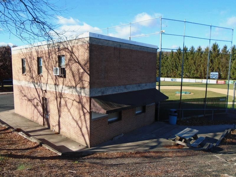
Photographed by William Fischer, Jr., November 12, 2024
2. Dick Horning Memorial Field and Marker
Credits. This page was last revised on November 17, 2024. It was originally submitted on November 17, 2024, by William Fischer, Jr. of Reynoldsburg, Ohio. This page has been viewed 110 times since then and 11 times this year. Photos: 1, 2. submitted on November 17, 2024, by William Fischer, Jr. of Reynoldsburg, Ohio.
