Morrisville in Morristown in Lamoille County, Vermont — The American Northeast (New England)
Lamoille County Civic Center
24 Upper Main Street
| — | 1865 | — |
Photographed by Duane and Tracy Marsteller, October 3, 2024
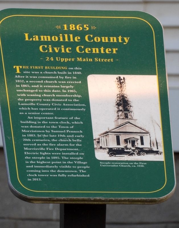
1. Lamoille County Civic Center Marker
An important feature of the building is the town clock, which was donated to the Town of Morristown by Samuel Pennock in 1883. In the late 19th and early 20th centuries, the church bells served as the fire alarm for the Morrisville Fire Department. Electric lights were installed on the steeple in 1895. The steeple is the highest point in the Village and immediately visible to people coming into the downtown. The clock tower was fully refurbished in 2013.
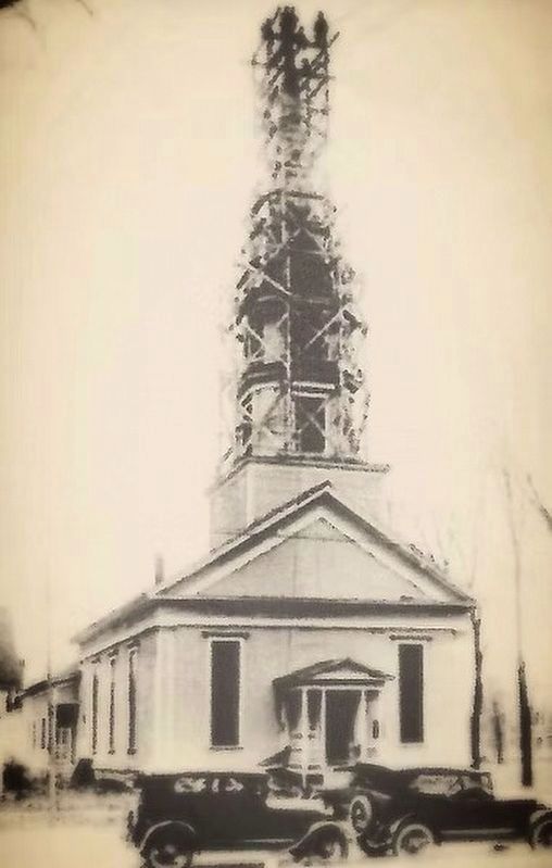
[Caption] Steeple restoration on the First Universalist Church, ca. 1930.
Erected 2018 by Morrisville Alliance for Culture and Commerce. (Marker Number 13.)
Topics and series. This historical marker is listed in this topic list: Notable Buildings. In addition, it is included in the National Register of Historic Places (NRHP),
this page online
Location. 44° 33.7′ N, 72° 35.858′ W. Marker is in Morristown, Vermont, in Lamoille County. It is in Morrisville. It is on Upper Main Street east of Congress Street, on the right when traveling east. Touch for map. Marker is at or near this postal address: 24 Upper Main St, Morrisville VT 05661, United States of America. Touch for directions.

Regionally, this marker is in the Green Mountains. It is also in the American Northeast and in New England. Globally, it is in North America, the Great North Woods, the Western Hemisphere, the Western World, and the Anglosphere. Historically, it finds itself in what was once the Vermont Republic.
Other nearby markers. At least 8 other markers are within walking distance of this marker: Puffer United Methodist Church (a few steps from this marker); H.H. Powers House (within shouting distance of this marker); Fleetwood Block (within shouting distance of this marker); United Community Church of Morrisville (about 300 feet away, measured in a direct
Photographed by Duane and Tracy Marsteller, October 3, 2024
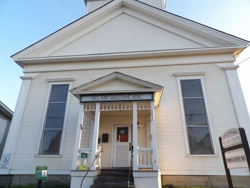
2. Lamoille County Civic Center Marker
Also see . . .
1. Building History. In 1828, 110 local residents gathered in a barn in Morristown Corners to establish the Universalist Church of Morristown. The Universalists were the fourth religious body to formally organize in Morristown. (The Wing Center) (Submitted on November 27, 2024, by Duane and Tracy Marsteller of Murfreesboro, Tennessee.)
2. Morrisville Historic District (PDF). Updated National Register of Historic Places nomination that expanded the original district and included the former Universalist Church as a contributing property. (Prepared by John Johnson, 2007; via National Park Service) (Submitted on November 27, 2024, by Duane and Tracy Marsteller of Murfreesboro, Tennessee.)
Photographed by Duane and Tracy Marsteller, October 3, 2024
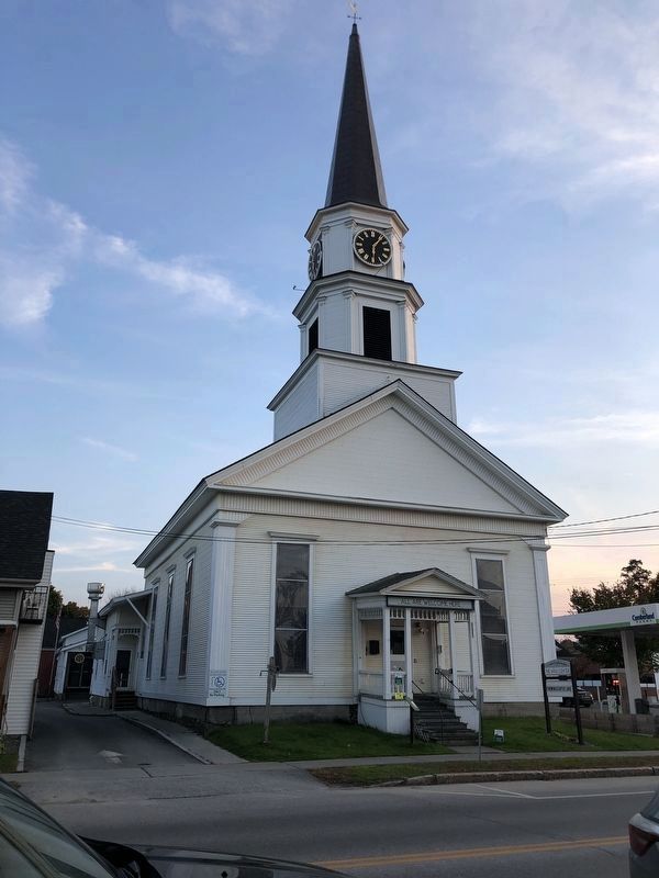
3. The Wing Center
It was renamed in 2023 for Gloria Wing, a Morrisville native who served on a variety of state and town boards, including as president of the Lamoille County Civic Association.
not identified; via The Wing Center (Public Domain), circa 1930
4. Former Universalist Church of Morristown
The church as seen when its steeple was being refurbished.
Credits. This page was last revised on November 29, 2024. It was originally submitted on November 21, 2024, by Duane and Tracy Marsteller of Murfreesboro, Tennessee. This page has been viewed 165 times since then and 26 times this year. Photos: 1, 2, 3. submitted on November 21, 2024, by Duane and Tracy Marsteller of Murfreesboro, Tennessee. 4. submitted on November 27, 2024, by Duane and Tracy Marsteller of Murfreesboro, Tennessee.
