Near Farragut in Knox County, Tennessee — The American South (East South Central)
Loveville
Photographed by Tom Bosse, August 14, 2021
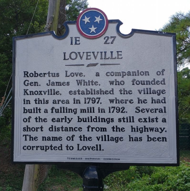
1. Loveville Marker
Robertus Love, a companion of Gen. James White, who founded Knoxville, established the village in this area in 1797 where he had built a fulling mill in 1792. Several of early buildings still exist a short distance from the highway. The name of the village has been corrupted to Lovell.
Erected 1953 by Tennessee Historical Commission. (Marker Number 1E 37.)
Topics and series. This historical marker is listed in these topic lists: Industry & Commerce • Settlements & Settlers. In addition, it is included in the Tennessee Historical Commission series list. A significant historical year for this entry is 1797.
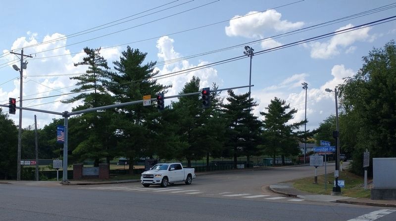
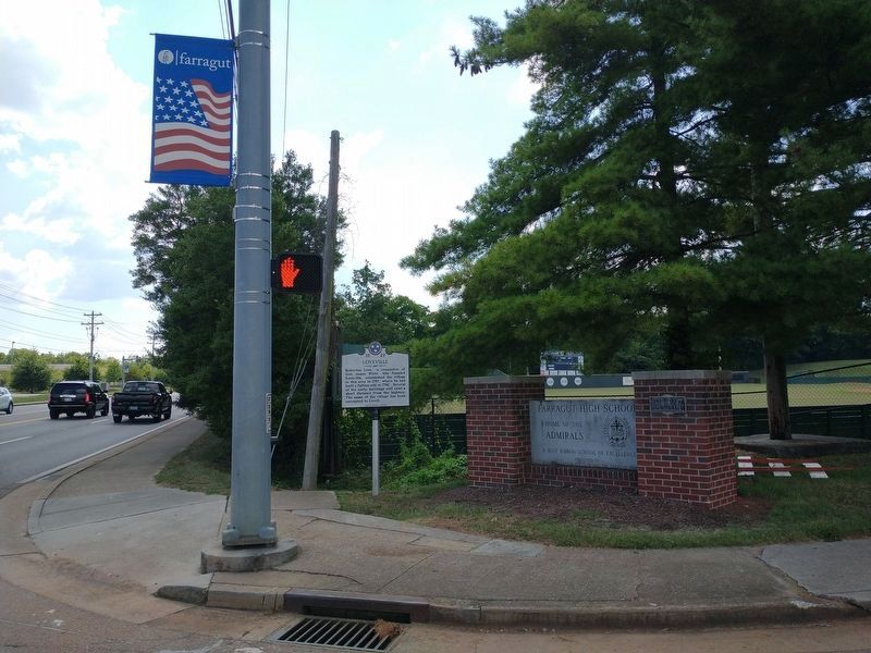
Location. 35° 53.004′ N, 84° 9.361′ W. Marker is near Farragut, Tennessee, in Knox County. It is at the intersection of Kingston Pike (U.S. 11) and West End Avenue, on the right when traveling west on Kingston Pike. Touch for map. Marker is at or near this postal address: 11230 Kingston Pike, Farragut TN 37934, United States of America. Touch for directions.

Regionally, this marker is in East Tennessee and in Greater Knoxville. It is also in the American South, specifically in the Upper South, in Appalachia,
this page online
Other nearby markers. At least 8 other markers are within walking distance of this marker: Battle of Campbell's Station (a few steps from this marker); David Glasgow Farragut (a few steps from this marker); Archibald Roane (approx. 0.2 miles away); After the Civil War (approx. 0.3 miles away); During the Civil War (approx. 0.3 miles away); David Campbell builds a station (approx. 0.3 miles away); Settlement of the Frontier (approx. 0.3 miles away); USS Independence Gun (approx. 0.4 miles away). Touch for a list and map of all markers in Farragut.
Another marker is no longer nearby. Campbell Station (was approx. 0.4 miles away but has been confirmed missing).
Additional commentary.
1. Loveville is not here
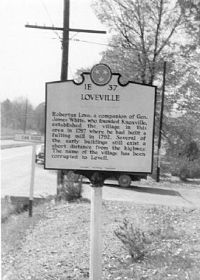
The marker is now marking the wrong place. The marker originally stood 1¼ miles northeast,
Photographed by Tom Bosse, August 14, 2021
2. Loveville Marker
Editor’s note: See photograph No. 4 below.
— Submitted December 4, 2022, by Brad Sheley of Knoxville, Tennessee.
Photographed by Tom Bosse, August 14, 2021
3. Loveville Marker
Photographed by Donald Raby, circa 1953
4. An Earlier Version of the Loveville Marker
This photograph shows an earlier cast of this marker. The sign behinds it likely points to the right in the direction of Oak Ridge, some 20 miles north, placing it on the north side of Kingston Pike. The sixth edition of the guidebook Tennessee Historical Markers published by the Tennessee Historical Commission in 1972 locates this marker “one mile east of Farragut High School” on U.S. 11, which would place it at Kingston Pike and Lovell Road, and Lovell road leads towards Oak Ridge.
Credits. This page was last revised on January 10, 2025. It was originally submitted on June 18, 2010, by Donald Raby of Knoxville, Tennessee. This page has been viewed 2,310 times since then and 74 times this year. Last updated on November 22, 2024, by Mark Parker of Hickory, North Carolina. Photos: 1, 2, 3. submitted on August 15, 2021, by Tom Bosse of Jefferson City, Tennessee. 4. submitted on June 18, 2010, by Donald Raby of Knoxville, Tennessee. • Devry Becker Jones was the editor who published this page.
