Port Perry in Durham Region, Ontario — Central Canada (North America)
Jones Brothers Block

Photographed by Cosmos Mariner, June 2, 2024
1. Jones Brothers Block Marker
When Lot 7 was divided in 1868, this eastern half was sold to Charles and William Jones. They formed a partnership with Charles Paxton, but later bought out Paxton's interest and built an impressive three storey brick building here in 1873. The Jones brothers operated a clothing and dry goods store on the western half of the building and a general store in the remainder. This building was lost in a fire that destroyed the entire business section of town in July 1884.
A new building was constructed and in the eastern half, John McClung formed a partnership with William Jones to sell clothes, while the western half of the store was devoted to groceries, crockery and boots and shoes. Charles Jones returned to buy the eastern half of the building where he and his son operated a dry goods store.
The two sections went through a number of owners including Oke and McGregor, George Davey, W.C. Monet and F.W. McIntyre and the Port Perry 5¢ to $1.00 variety store, which later became the Mersco 5¢ to $1.00 store. In 1988 the property was purchased by Wayne and Carolyn Luke, who opened the Victorian Card shop in this section.
Topics.
this page online
Location. 44° 6.298′ N, 78° 56.639′ W. Marker is in Port Perry, Ontario, in Durham Region. It is on Queen Street just east of Perry Street, on the left when traveling east. The marker is mounted at eye-level near the center of the south/front facade of the subject building. Touch for map. Marker is at or near this postal address: 201 Queen Street, Port Perry ON L9L 1B8, Canada. Touch for directions.

Regionally, this marker is in Greater Toronto, specifically on the Golden Horseshoe, in the York, Durham and Headwaters Area, and in the Toronto Metropolitan Area. It is also in Central Canada. Globally, it is in North America, on the Great Lakes, in the Western Hemisphere, in the Western World, and in the Anglosphere. Historically, it finds itself in what was once a British colony, the Viceroyalty of New France, the Haudenosaunee (Iroquois) Confederacy, and Rupert’s Land.
Other nearby markers. At least 8 other markers are within walking distance of this marker: Wm. L. Parrish Block

2. Marker detail: Charles Jones

3. Marker detail: William Jones

4. Marker detail: Jones Block circa 1875

5. Marker detail: Jones Block circa 1900
Photographed by Cosmos Mariner, June 2, 2024
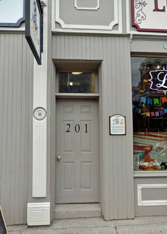
6. Jones Brothers Block Marker
The marker is mounted on the right side of the center entrance.

Photographed by Cosmos Mariner, June 2, 2024
7. Jones Brothers Block (south/front elevation)
Credits. This page was last revised on November 24, 2024. It was originally submitted on November 24, 2024, by Cosmos Mariner of Cape Canaveral, Florida. This page has been viewed 133 times since then and 35 times this year. Photos: 1, 2, 3, 4, 5, 6, 7. submitted on November 24, 2024, by Cosmos Mariner of Cape Canaveral, Florida.
