Breckenridge in Wilkin County, Minnesota — The American Midwest (Upper Plains)
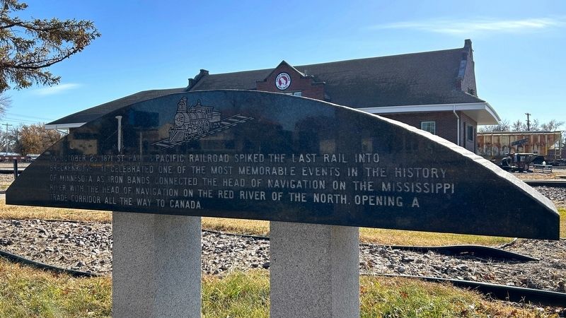
The Last Rail Spiked into Breckenridge
October 25, 2024
1. The Last Rail Spiked into Breckenridge Marker, Side One
Erected 1998 by Project Breckenridge.
Topics. This historical marker is listed in this topic list: Railroads & Streetcars. A significant historical date for this entry is October 25, 1871.
Location. 46° 15.792′ N, 96° 35.383′ W. Marker is in Breckenridge, Minnesota, in Wilkin County. It is at the intersection of Minnesota Avenue (County Highway 12) and 4th Street North, on the right when traveling east on Minnesota Avenue. Located in Railroad Park. Touch for map. Marker is at or near this postal address: 317 Minnesota Ave, Breckenridge MN 56520, United States of America. Touch for directions.

Regionally, this marker is in the American Midwest, in the Corn Belt, on the prairies, on the Great Plains, and specifically on the Northern Plains. Globally, it is in North America, the Western
this page online
Other nearby markers. At least 8 other markers are within walking distance of this marker: "Boomer" (here, next to this marker); Wahpeton-Breckenridge Street Railway Company (within shouting distance of this marker); Hyser Hotel Site (approx. 0.2 miles away); Wilkin County Veterans Memorial (approx. 0.2 miles away); By the Waters of Three Rivers (approx. 0.3 miles away); AH-1 Cobra attack Helicopter (approx. 0.4 miles away); First Expedition in Breckenridge Cabin Site (approx. 0.4 miles away); Historic Breckenridge (approx. 0.4 miles away). Touch for a list and map of all markers in Breckenridge.
October 25, 2024
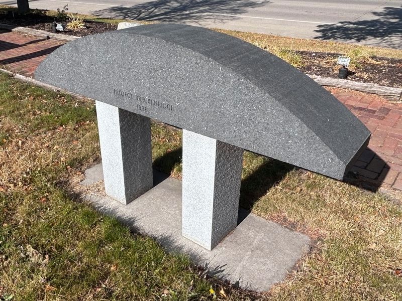
2. The Last Rail Spiked into Breckenridge Marker, Side Two
"Project Breckenridge 1998"
October 25, 2024
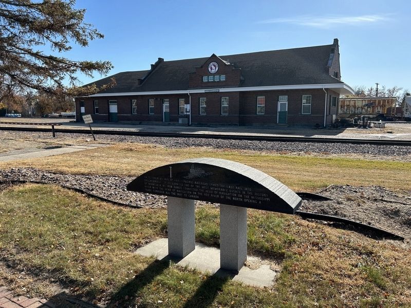
3. The Last Rail Spiked into Breckenridge Marker at Breckenridge Depot
October 25, 2024
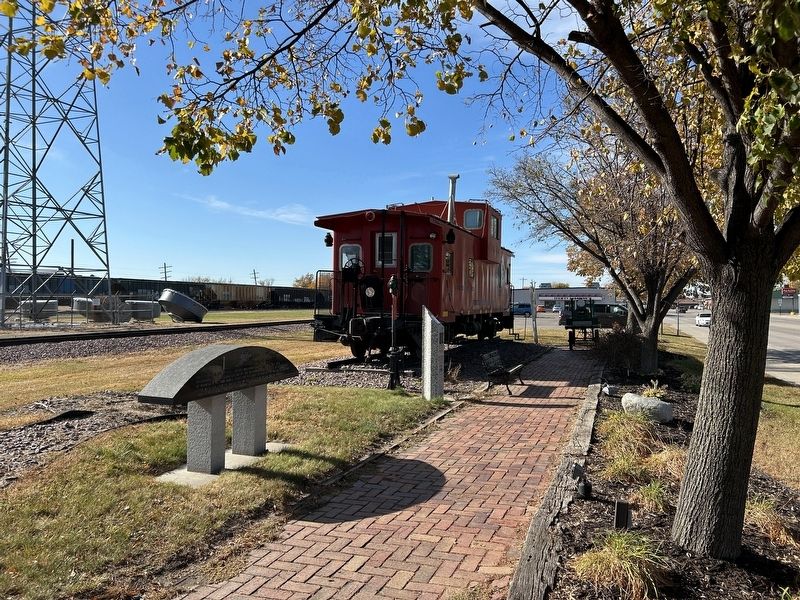
4. The Last Rail Spiked into Breckenridge Marker
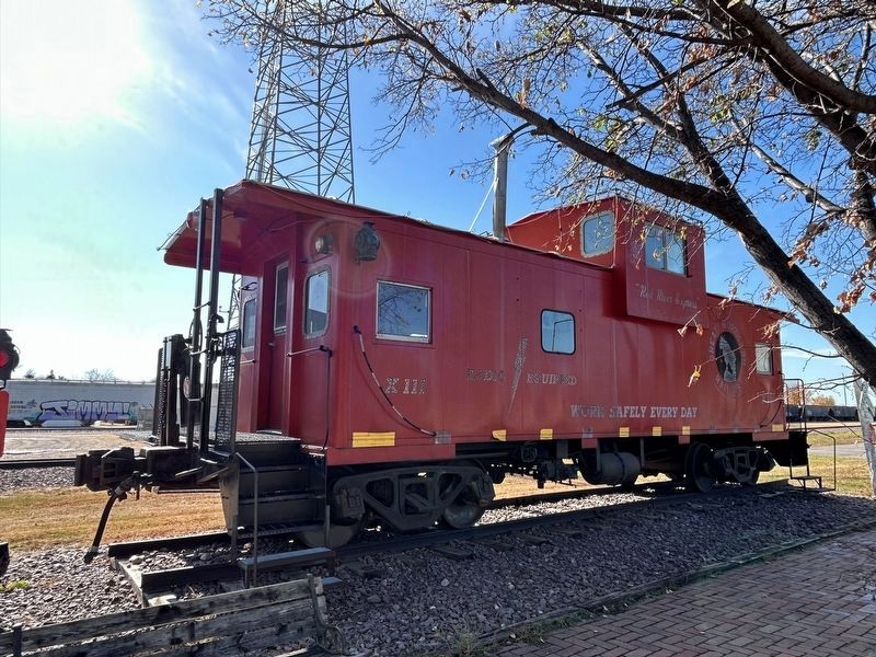
October 25, 2024
5. Great Northern Railway Caboose
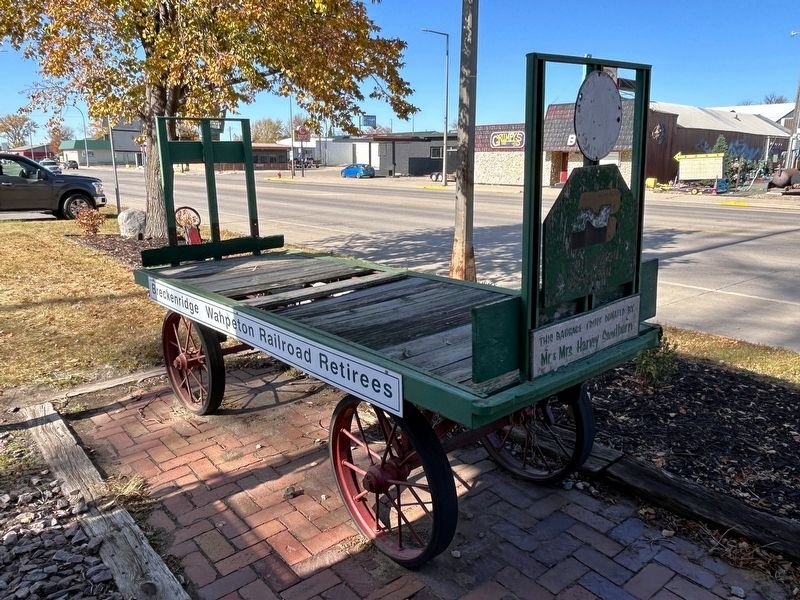
October 25, 2024
6. Great Northern Railway Baggage Truck
"This baggage truck donated by Mr. & Mrs. Harvey Sandborn"
Credits. This page was last revised on November 25, 2024. It was originally submitted on November 25, 2024. This page has been viewed 159 times since then and 22 times this year. Photos: 1, 2, 3, 4, 5, 6. submitted on November 25, 2024.
