Near Seymour in Blount County, Tennessee — The American South (East South Central)
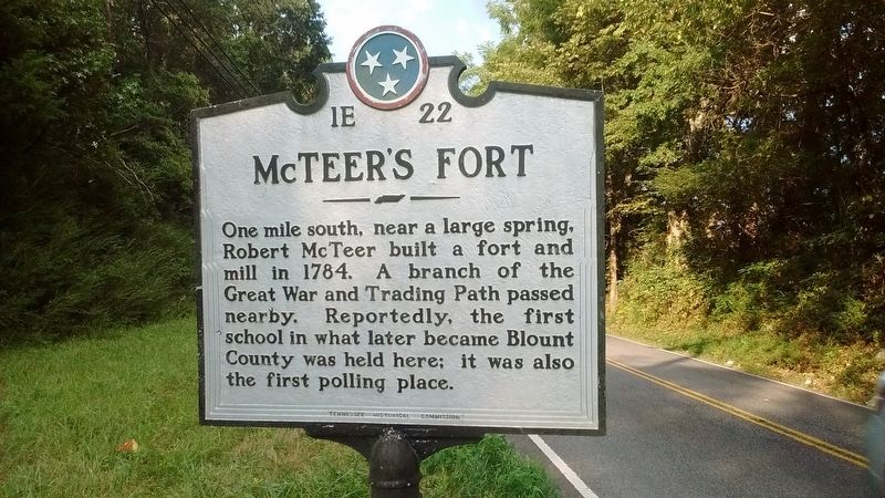
McTeer's Fort
Photographed by Tom Bosse, August 27, 2017
1. McTeer's Fort Marker
Erected by Tennessee Historical Commission. (Marker Number 1E 22.)
Topics and series. This historical marker is listed in these topic lists: Forts and Castles • Settlements & Settlers. In addition, it is included in the Tennessee Historical Commission series list. A significant historical year for this entry is 1784.
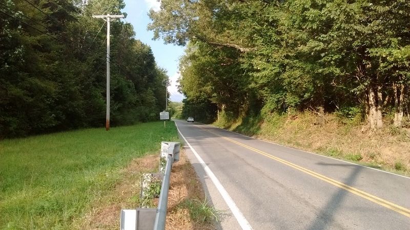
Location. 35° 49.812′ N, 83° 48.074′ W. Marker is near Seymour, Tennessee, in Blount County. It is on Sevierville Road (Tennessee Route 411), on the left when traveling east. Touch for map. Marker is in this post office area: Seymour TN 37865, United States of America. Touch for directions.

Regionally, this marker is in East Tennessee, in the Great Smoky Mountains, and in Greater Knoxville. It is also in the American South, specifically in the Upper South, in Appalachia, and specifically in Southern Appalachia. Globally, it is in North America,
this page online
Other nearby markers. At least 8 other markers are within 4 miles of this marker, measured as the crow flies: Eusebia Church (approx. 0.2 miles away); Campbell Family Massacre (approx. 0.6 miles away); Site of Fort McTeer (approx. 1.3 miles away); The Bethlehem Methodist Church (approx. 3 miles away); Historic Bethlehem Church and Cemetery (approx. 3 miles away); Newell's Station (approx. 3.8 miles away); Knox County / Sevier County (approx. 3.9 miles away); The Great Indian War Trail (approx. 3.9 miles away). Touch for a list and map of all markers in Seymour.
Related markers. Click here for a list of markers that are related to this marker.
Also see . . .
1. Robert McTeer. (Submitted on August 28, 2017, by Tom Bosse of Jefferson City, Tennessee.)
2. Fort McTeer – 1784. (Submitted on November 27, 2024, by Tom Bosse of Jefferson City, Tennessee.)
Photographed by Tom Bosse, August 27, 2017
2. McTeer's Fort Marker

Photographed by Tom Bosse, November 22, 2024
3. Site of McTeer's Fort

Photographed by Tom Bosse, November 22, 2024
4. Site of McTeer's Fort D.A.R. Marker
Credits. This page was last revised on November 28, 2024. It was originally submitted on August 28, 2017, by Tom Bosse of Jefferson City, Tennessee. This page has been viewed 3,659 times since then and 277 times this year. Last updated on November 27, 2024, by Tom Bosse of Jefferson City, Tennessee. Photos: 1, 2. submitted on August 28, 2017, by Tom Bosse of Jefferson City, Tennessee. 3, 4. submitted on November 27, 2024, by Tom Bosse of Jefferson City, Tennessee. • James Hulse was the editor who published this page.
