Lovettsville in Loudoun County, Virginia — The American South (Mid-Atlantic)
The Independent Loudoun Rangers
Serving the Union
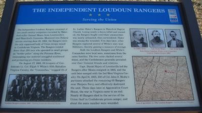
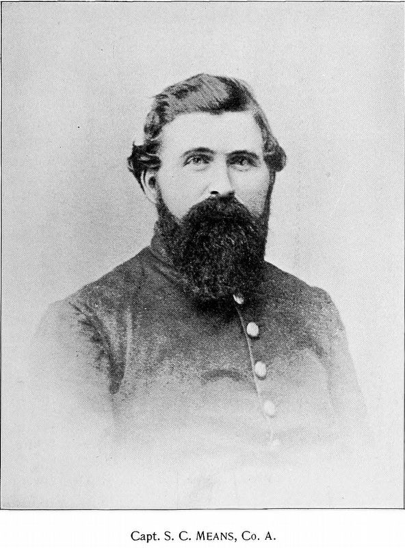
The Independent Loudoun Rangers consisted of two small cavalry companies recruited by Waterford miller Samuel Means from Lovettsville's and Waterford's Unionists. Mustered into Federal service starting June 20, 1862, the Rangers were the only organized body of Union troops raised in Confederate Virginia. The Rangers totaled fewer than 200 men who operated in small groups as "border police" along the Potomac River, intercepting war material smuggled southward and protecting pro-Union residents.
On August 27, 1862, 50 troopers of Confederate Lt. Col. Elijah V. White's 35th Battalion Virginia Cavalry, the "Comanches," trapped 25 of Lt. Luther Slater's Rangers in Waterford Baptist Church. Losing nearly a dozen killed and wounded, the Rangers fought until their ammunition was nearly exhausted, then surrendered. Slater was among the wounded. Five days later, other Rangers captured several of White's men near Hillsboro, thereby gaining a measure of revenge.
Both the Loudoun Rangers and White's Comanches were local men, sometimes from the same families. The two units clashed several times, and the Confederates generally prevailed over their Unionist friends and relatives.
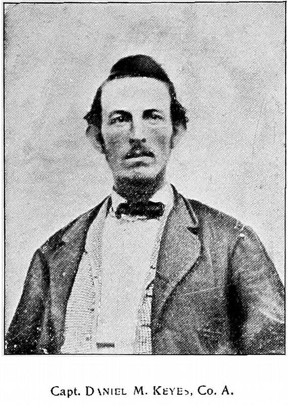
Capt. Daniel Keyes of Lovettsville led the Rangers after Means resigned in 1864, and the unit later merged with the 3rd West Virginia Cavalry. On April 6, 1865, 350 of Col. John S. Mosby's partisans attacked the remaining 65 Rangers near Harpers Ferry and effectively destroyed the unit. Three days later at Appomattox Court House, the war in Virginia came to an end. Nearly 40 Rangers died in the service of the Union (half in Confederate prison camps), and about the same number were wounded.
Erected 2009 by Virginia Civil War Trails.
Topics and series. This historical marker is listed in this topic list: War, US Civil. In addition, it is included in the Virginia Civil War Trails series list. A significant historical date for this entry is April 6, 1865.
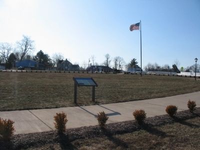
Location. This marker has been replaced by another marker nearby. It was located near 39° 16.497′ N, 77° 38.366′ W. Marker was in Lovettsville, Virginia, in Loudoun County. Marker was at the intersection of Berlin Pike (County Route 287) and Broadway (County Route 673) on Berlin Pike. Located in the central traffic round-about in the center of Lovettsvile. Touch for map. Marker was at or near this postal address: 1 W Broad Way, Lovettsville VA 20180, United States of America. Touch for directions.
Other nearby markers. At least 8 other markers are within 3 miles of this location, measured as the crow flies. A different marker also named The Independent Loudoun Rangers (here, next to this marker); Veterans Memorial (within shouting distance of this marker); St. James United Church of Christ (about 800 feet away, measured in a direct line); Lovettsville in the Civil War (approx. 0.2 miles away); First German Reformed Church Site and Cemetery (approx. 0.6 miles away); New Jerusalem Lutheran Church (approx. 1.2 miles away); Water Power (approx. 2.6 miles away in Maryland); Berlin (approx. 2.6 miles away in Maryland). Touch for a list and map of all markers in Lovettsville.
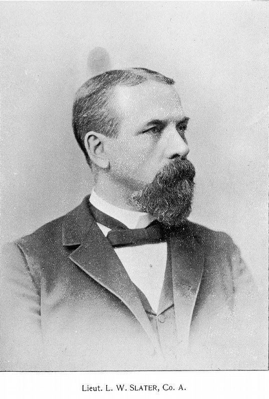
More about this marker. On the lower left is a photo of surviving Loudoun Rangers at a reunion in 1903. In the upper right are portraits of Lt. Luther Slater, Capt. Samuel Means, and Capt. Daniel Keyes, all from History of the Independent Loudoun Virginia Rangers (1896) by Briscoe Goodhart. On the lower right is a 1864 map of Loudoun County and surrounding area, with a red star indicating the the location of Lovettsville.
Related marker. Click here for another marker that is related to this marker. This marker has been replaced with the linked marker.
Also see . . .
1. The Loudoun Rangers. An independent Civil War cavalry unit drawn from the largely Quaker and German
farming communities of northern Loudoun County. (Submitted on January 3, 2010, by Craig Swain of Leesburg, Virginia.)
2. America’s Civil War: Loudoun Rangers. An article discussing the Ranger's wartime service. (Submitted on January 3, 2010, by Craig Swain of Leesburg, Virginia.)
3. Independent Loudoun Rangers. Rosters of the companies. (Submitted on January 3, 2010, by Craig Swain of Leesburg, Virginia.)
Credits. This page was last revised on May 15, 2022. It was originally submitted on January 3, 2010, by Craig Swain of Leesburg, Virginia. This page has been viewed 2,421 times since then and 50 times this year. Photos: 1, 2, 3. submitted on January 3, 2010, by Craig Swain of Leesburg, Virginia. 4, 5, 6. submitted on March 3, 2018, by Allen C. Browne of Silver Spring, Maryland.
