Sudbury in Greater Sudbury, Ontario — Central Canada (North America)
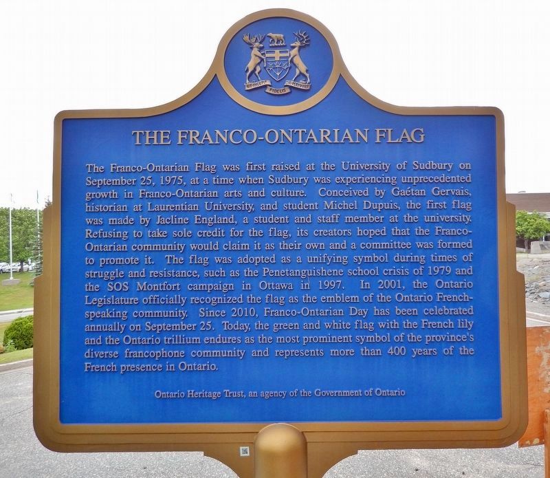
The Franco-Ontarian Flag
⎯⎯⎯
Le drapeau franco-ontarien
Photographed by Cosmos Mariner, June 8, 2024
1. The Franco-Ontarian Flag (marker west side • English)

this page online

Photographed by Cosmos Mariner, June 8, 2024
2. Le drapeau franco-ontarien (marker east side • Français)
Erected by Ontario Heritage Trust / Fiducie du patrimoine ontarien.
Topics and series. This historical marker is listed in these topic lists: Education • Government & Politics • Settlements & Settlers. In addition, it is included in the Canada, Ontario Heritage Trust, and the Vexillology series lists. A significant historical date for this entry is September 25, 1975.
Location. 46° 27.829′ N, 80° 58.284′ W. Marker is in Greater Sudbury, Ontario. It is in Sudbury. It is on Manitou Road just south of University Road, on the right when traveling south. The marker is located on the Laurentian University of Sudbury campus, about 1.6 km south of Ramsey Lake Road (Greater Sudbury Regional Road 39) via University Road. Touch for map. Marker is at or near this postal address: 935 Ramsey Lake Road, Greater Sudbury ON P3E 2C6, Canada. Touch for directions.

Regionally, this marker is in Northeastern Ontario and specifically in Northern Ontario. It is also in Central Canada. Globally,
Photographed by Cosmos Mariner, June 8, 2024
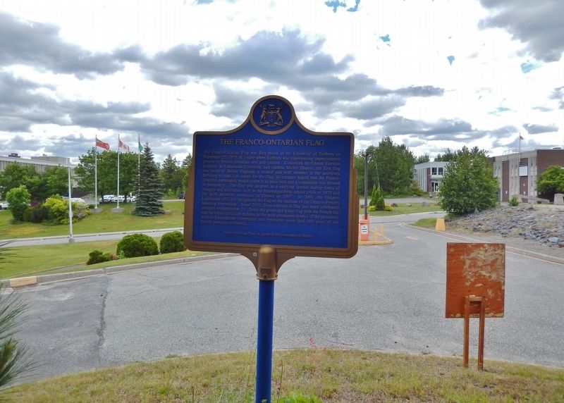
3. The Franco-Ontarian Flag (marker west side • English)
Looking east across the Laurentian University of Sudbury campus.
Other nearby markers. At least 8 other markers are within 5 kilometers of this marker, measured as the crow flies: Laurentian University of Sudbury / Université Laurentienne de Sudbury (approx. 0.4 kilometers away); Austin Airways 1934-1987 (approx. 2 kilometers away); The Sudbury Basin (approx. 2.2 kilometers away); W. J. Bell (approx. 2.2 kilometers away); The Irish Regiment of Canada (approx. 3.3 kilometers away); The Founding of Sudbury / La fondation de Sudbury (approx. 3.3 kilometers away); Sainte-Anne-des-Pins (approx. 3.8 kilometers away); Sacred Heart College / Collège du Sacré-Coeur (approx. 4.4 kilometers away). Touch for a list and map of all markers in Greater Sudbury.
Also see . . . A changing French-Canadian identity.
Excerpt: Part of the reason behind the flag's development resides in the considerable changes in French-Canadian(Submitted on November 28, 2024, by Cosmos Mariner of Cape Canaveral, Florida.)identities that took place during the post-war years. Rising nationalism in Quebec produced a stronger French-language state within Ontario and accelerated secularism within its institutions. Tensions rose between French-Canadian traditionalists – seeing Canada as a pact between two founding nations, of which the French-Canadian minorities were an integral part — and Quebec neo-nationalists, who desired more autonomy for the province.Photographed by Cosmos Mariner, June 8, 20244. Le drapeau franco-ontarien (marker east side • Français)Looking west; the University of Sudbury building is partially visible in the right background.French-Canadian elites in Ontario thus channelled their efforts in obtaining new linguistic rights. The 1970s proved to be an electrifying decade for Franco-Ontarians, most notably in Sudbury where a cultural explosion produced a number of lasting institutions, including the Théâtre du Nouvel-Ontario in 1971, and Prise de Parole, a publishing house, in 1973. It is of little surprise that the Nickel City would also, two years later, be the birthplace of the most recognizable symbol of the Franco-Ontarian community: the Franco-Ontarian flag.


5. The Franco-Ontarian Flag / Le drapeau franco-ontarien
Photographed by Cosmos Mariner, June 8, 2024
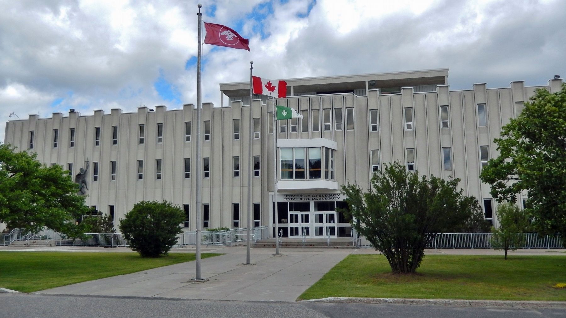
6. University of Sudbury / Université de Sudbury
The main administrative offices building; it is located about 50 meters north of the marker. The Franco-Ontarian flag is behind the Canadian flag.
Credits. This page was last revised on November 28, 2024. It was originally submitted on November 28, 2024, by Cosmos Mariner of Cape Canaveral, Florida. This page has been viewed 254 times since then and 57 times this year. Photos: 1, 2, 3, 4, 5, 6. submitted on November 28, 2024, by Cosmos Mariner of Cape Canaveral, Florida.
