Stanstead in Memphrémagog, Québec — Central Canada (French-Canadian)
Église du Sacré-Coeur (Church of the Sacred Heart)
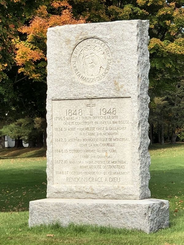
Photographed by Duane and Tracy Marsteller, October 4, 2024
1. Église du Sacré-Coeur (Church of the Sacred Heart) Marker
• 1834, 31 Aout – Iere messe chez D. Gallagher par l'abbe J.B. McMahon
• 1842, 3 Aout – Mgr. Bourget, Eveque de Montreal, benit la Iere chapelle.
• 1848, 15 Octobre – Arrivee du Iere cure l'abbe J.B. Champeau
• 1877, 10 Mai – Mgr. Fabre, Eveque de Montreal, benit l'eglise de Stanstead
• 1948, 17 Octobre – Benediction de ce monument
English translation
• 1834, August 31 – First mass at D. Gallagher’s by Father J.B. McMahon
• 1842, August 3 – Bishop Bourget of Montreal, blesses the first chapel.
• 1848, October 15 – Arrival of the first parish priest Father J.B. Champeau
• 1877, May 10 – Bishop Fabre, Bishop of Montreal, blesses the church of Stanstead
• 1948, October 17 – Blessing of this monument
Topics. This historical marker is listed in this topic list: Religion & Religious Structures. A significant historical date for this entry is March 5, 1796.
Location. 45° 1.125′ N, 72° 5.519′ W.
this page online

Regionally, this marker is in the Outaouais & Eastern Townships. It is also in Central Canada. Globally, it is in North America, the Western Hemisphere, and the Western World. Historically, it finds itself in what was once a British colony, the Viceroyalty of New France, the Haudenosaunee (Iroquois) Confederacy, and Rupert’s Land.
Other nearby markers. At least 8 other markers are within walking distance of this marker: Église du Sacré-Coeur / Church of the Sacred Heart (a few steps from this marker); In Memory of Stanstead Plain's First Settlers (within shouting distance of this marker); Église Christ Church Anglicane / Christ Church Anglican (about 210 meters away, measured in a direct line); Pensionnnat et monastère des Ursulines / Ursulines Monastery and Boarding School (approx. 0.4 kilometers away); Église unie Centenary / Centenary United Church
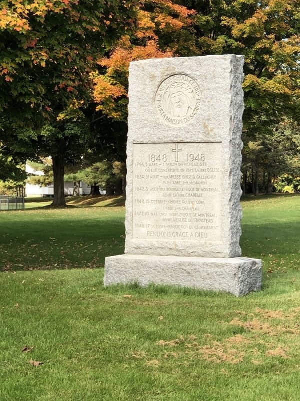
Photographed by Duane and Tracy Marsteller, October 4, 2024
2. Église du Sacré-Coeur (Church of the Sacred Heart) Marker
Credits. This page was last revised on February 14, 2025. It was originally submitted on November 28, 2024, by Duane and Tracy Marsteller of Murfreesboro, Tennessee. This page has been viewed 212 times since then and 61 times this year. Photos: 1, 2. submitted on November 28, 2024, by Duane and Tracy Marsteller of Murfreesboro, Tennessee.
