Fort Payne in DeKalb County, Alabama — The American South (East South Central)
Boom Town Historic District
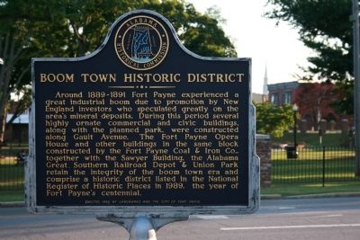
Photographed by Tim Carr, June 15, 2008
1. Boom Town Historic District Marker
Erected 1989 by Alabama Historical Commission / Landmarks and the City of Fort Payne.
Topics and series. This historical marker is listed in these topic lists: Industry & Commerce • Railroads & Streetcars. In addition, it is included in the Alabama Historical Commission series list. A significant historical year for this entry is 1989.
Location. Marker has been reported missing. It was located near 34° 26.637′ N, 85° 43.138′ W. Marker was in Fort Payne,
this page online

Regionally, this marker was in North Alabama. It was also in the American South, specifically in the Deep South, in Appalachia, and specifically in Southern Appalachia. Globally, it was in North America, a Gulf of Mexico state, the Western Hemisphere, the Western World, and the Anglosphere. Historically, it found itself in what was once the original Cherokee Nation, the territory of the Mississippian Culture, one of the Confederate States of America, and the Antebellum South.
Other nearby markers. At least 8 other markers are within walking distance of this location: Confederate Monument (within shouting distance of this marker); Sequoyah | Socks | Song | Scenery (within shouting distance of this marker); Fort Payne Opera House (about 300 feet away, measured in a direct line); Whittler's Corner (about 400 feet away); Alabama (about 500 feet away); Fort Payne Residential Historic District
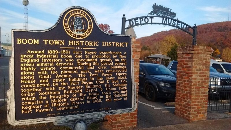
Photographed by Tom Bosse, November 25, 2016
2. Boom Town Historic District Marker
Other markers no longer nearby. Fort Payne’s Fort (was about 300 feet away but has been confirmed missing); Sequoyah (was about 300 feet away but has been confirmed missing); Wills Town Mission (was about 300 feet away but has been confirmed missing).
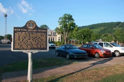
Photographed by Tim Carr, June 15, 2008
3. Boom Town Historic District Marker
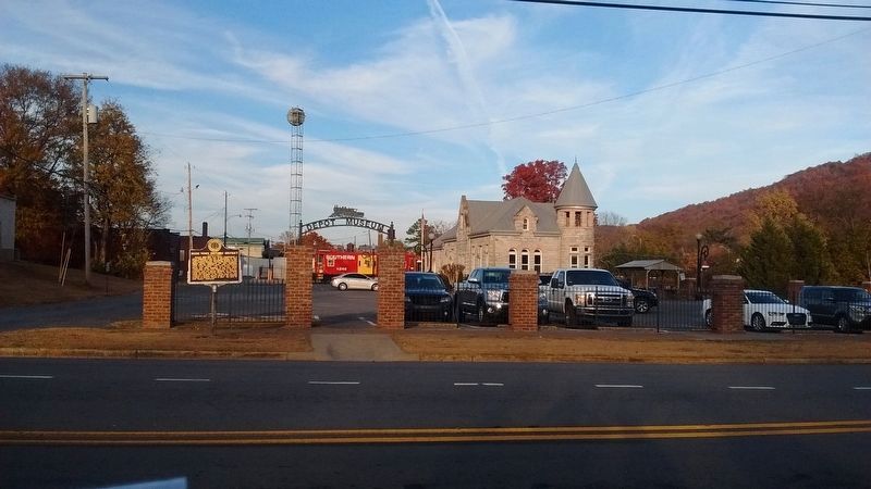
Photographed by Tom Bosse, November 25, 2016
4. Boom Town Historic District Marker
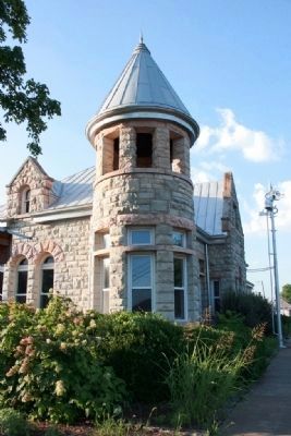
Photographed by Tim Carr, June 15, 2008
5. Alabama Great Southern Railroad Depot
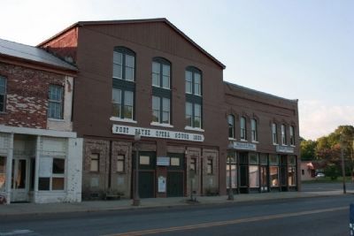
Photographed by Tim Carr, June 15, 2008
6. Fort Payne Opera House Built in 1889
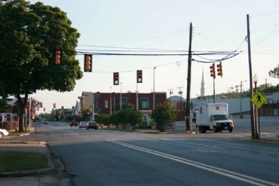
Photographed by Tim Carr, June 15, 2008
7. Gault Avenue (Highway 11) Downtown Fort Payne
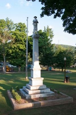
Photographed by Tim Carr, June 15, 2008
8. Civil War Monument in Union Park
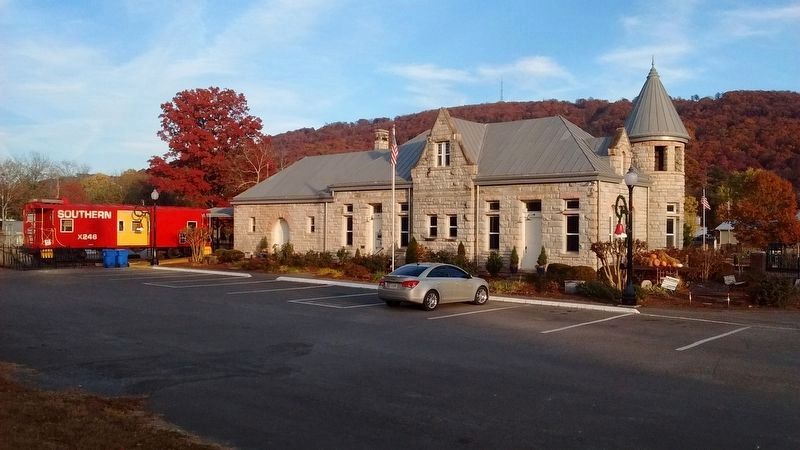
Photographed by Tom Bosse, November 25, 2016
9. Alabama Great Southern Railroad Depot
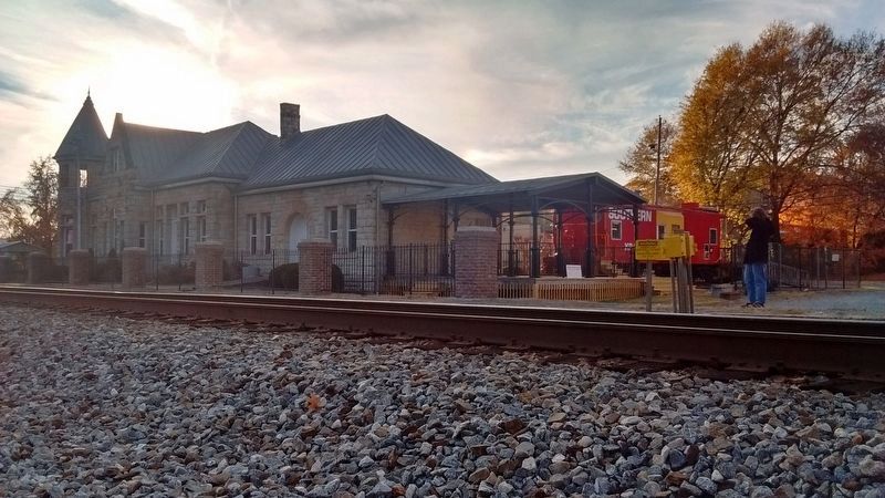
Photographed by Tom Bosse, November 25, 2016
10. Alabama Great Southern Railroad Depot
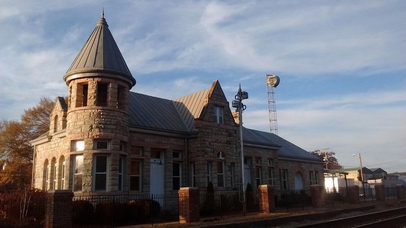
Photographed by Tom Bosse, November 25, 2016
11. Alabama Great Southern Railroad Depot
Credits. This page was last revised on December 3, 2024. It was originally submitted on February 27, 2010, by Timothy Carr of Birmingham, Alabama. This page has been viewed 2,431 times since then and 77 times this year. Last updated on November 29, 2024, by Edward Troxel of Creal Springs, Illinois. Photos: 1. submitted on February 27, 2010, by Timothy Carr of Birmingham, Alabama. 2. submitted on April 2, 2017, by Tom Bosse of Jefferson City, Tennessee. 3. submitted on February 27, 2010, by Timothy Carr of Birmingham, Alabama. 4. submitted on April 2, 2017, by Tom Bosse of Jefferson City, Tennessee. 5, 6, 7, 8. submitted on February 27, 2010, by Timothy Carr of Birmingham, Alabama. 9, 10, 11. submitted on November 27, 2016, by Tom Bosse of Jefferson City, Tennessee. • James Hulse was the editor who published this page.
