
Sageland in Kern County, California — The American West (Pacific Coastal)
Sageland
Photographed by Rob Burke, November 29, 2024
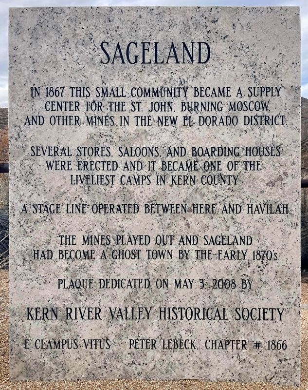
1. Sageland Marker
In 1867 this small community became a supply center for the St John, Burning Moscow, and other mines in the New El Dorado District. Several stores, saloons, and boarding houses were erected and it became one of the liveliest camps in Kern County. A stage line operated between here and Havilah. The mines played out and Sageland had become a ghost town by the early 1870's
Erected 2008 by Kern River Valley Historical Society, and E Clampus Vitus Peter Lebeck Chapter #1866.
Topics and series. This historical marker is listed in these topic lists: Industry & Commerce • Settlements & Settlers. In addition, it is included in the E Clampus Vitus series list. A significant historical year for this entry is 1867.
Location. 35° 28.799′ N, 118° 12.761′ W. Marker is in Sageland, California, in Kern County. It is at the intersection of Kelso Valley Road and Piute Mountain Road, on the right when traveling south on Kelso Valley Road. Touch for map. Marker is in this post office area: Weldon CA 93283, United States of America. Touch for directions.

Regionally, this marker is in California’s San Joaquin Valley, specifically
this page online
Other nearby markers. At least 2 other markers are within 17 miles of this marker, measured as the crow flies: Piute Ranch Homesite of Elizabeth "Lizzie" McGuirk (approx. 12½ miles away); Walker's Pass (approx. 16.4 miles away).
Photographed by Rob Burke, November 29, 2024
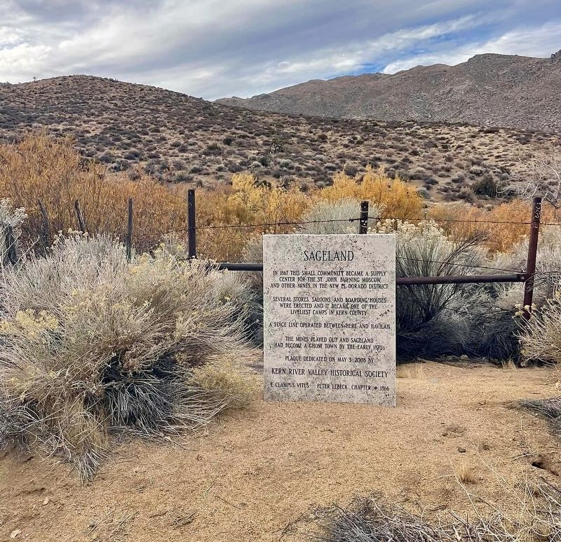
2. Sageland Marker
Photographed by Craig Baker
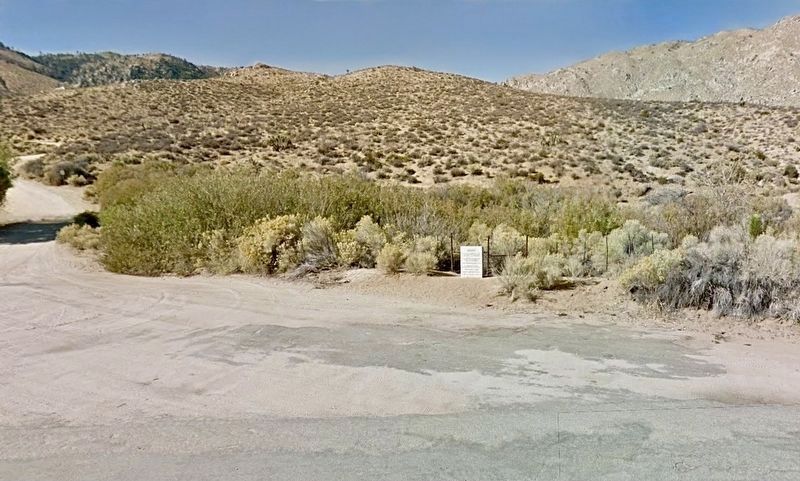
3. Sageland Marker
Credits. This page was last revised on June 2, 2026. It was originally submitted on November 30, 2024, by Rob Burke of Bakersfield, California. This page has been viewed 254 times since then and 60 times this year. Photos: 1, 2. submitted on November 30, 2024, by Rob Burke of Bakersfield, California. 3. submitted on June 2, 2026, by Craig Baker of Sylmar, California. • Craig Baker was the editor who published this page.
