Marcellus in Cass County, Michigan — The American Midwest (Great Lakes)
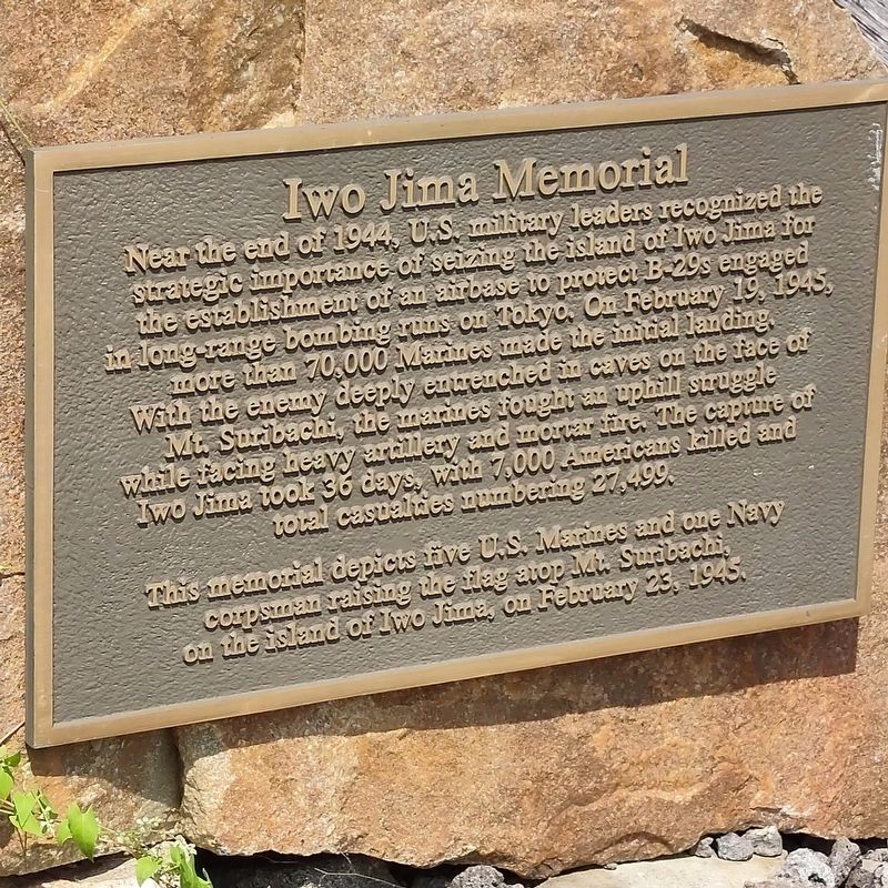
Iwo Jima Memorial
Photographed by Mark Parker, July 14, 2021
1. Iwo Jima Memorial Marker
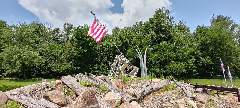
This memorial depicts live U.S. Marines and one Navy corpsman raising the flag atop Mt. Suribachi on the island of Iwo Jima, on February 23, 1945.
Topics. This memorial is listed in this topic list: War, World II.
Location. 42° 1.202′ N, 85° 48.985′ W. Memorial is in Marcellus, Michigan, in Cass County. It can be reached from Centre Street (Michigan Route 40) 0.2 miles south of East Elm Street, on the right when traveling south. The marker is a part of a veterans museum at VFW Post 4054. Touch for map. Memorial is at or near this
this page online

Regionally, this memorial is in Greater South Bend and in Southwest Michigan. It is also in the American Midwest. Globally, it is in North America, the Western Hemisphere, the Western World, and the Anglosphere. Historically, it finds itself in what was once the Northwest Territory.
Other nearby markers. At least 8 other markers are within 8 miles of this marker, measured as the crow flies: Michigan's Heroes (within shouting distance of this marker); M-60 Main Battle Tank (1960-1991) (about 300 feet away, measured in a direct line); Honor Roll of War Veterans of Marcellus and Vicinity (approx. half a mile away); Honor Roll War Veterans of Marcellus and Vicinity (approx. half a mile away); Poe's Corners (approx. 6½ miles away); Big Tree (approx. 7½ miles away); The Dowagiac River Watershed / Lunker Structures (approx. 7½ miles away); Newton House (approx. 7.8 miles away). Touch for a list and map of all markers in Marcellus.
Photographed by Mark Parker, July 14, 2021
2. Full view of Iwo Jima Memorial
Credits. This page was last revised on December 3, 2024. It was originally submitted on December 1, 2024, by Mark Parker of Hickory, North Carolina. This page has been viewed 155 times since then and 21 times this year. Photos: 1, 2. submitted on December 1, 2024, by Mark Parker of Hickory, North Carolina. • J. Makali Bruton was the editor who published this page.
