Selkirk in Haldimand in Haldimand County, Ontario — Central Canada (North America)
33 and 37 Main Street West
Photographed by Tim Boyd, August 21, 2024
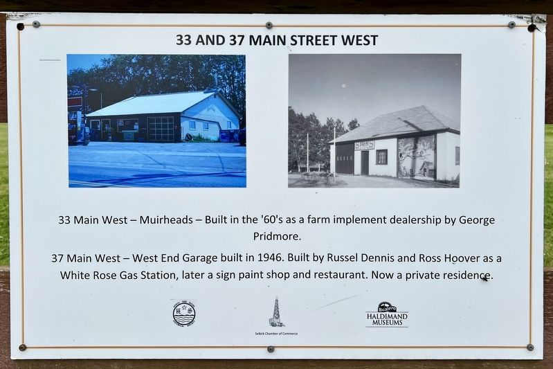
1. 33 and 37 Main Street West Marker
33 Main West - Muirheads - Built in the '60's as a farm implement dealership by George Pridmore.
37 Main West - West End Garage built in 1946. Built by Russel Dennis and Ross Hoover as a White Rose Gas Station, later a sign paint shop and restaurant. Now a private residence.
Erected by Haldimand Museums.
Topics. This historical marker is listed in this topic list: Industry & Commerce. A significant historical year for this entry is 1946.
Location. 42° 49.989′ N, 79° 56.177′ W. Marker is in Haldimand, Ontario, in Haldimand County. It is in Selkirk. It is on Main Street West (Haldimand Road 3) 0.4 kilometers west of Erie Street North, on the right when traveling west. Touch for map. Marker is at or near this postal address: 28 Haldimand 3, Haldimand ON N0A 1P0, Canada. Touch for directions.

Regionally, this marker is in the Southwest Ontario Area and in Southwestern Ontario. It is also in Central Canada. Globally, it is in North America, on the Great Lakes, in the Western Hemisphere, in the Western World, and in the Anglosphere. Historically, it finds itself in what was once a British colony, the
this page online
Other nearby markers. At least 8 other markers are within 16 kilometers of this marker, measured as the crow flies: Selkirk Union School (here, next to this marker); UB Methodist/ Faith Centennial United Church (here, next to this marker); Millenium Cairn (within shouting distance of this marker); S.S. #3 Union School Selkirk Centennial Community Centre (1918) (within shouting distance of this marker); Wilson Pugsley MacDonald (1880-1967) (approx. 3.2 kilometers away); Nanticoke (approx. 12 kilometers away); Evolving History of the Cayuga Bridge (approx. 14.3 kilometers away); Flour Mill Stones (approx. 14.9 kilometers away). Touch for a list and map of all markers in Haldimand.
Photographed by Tim Boyd, August 21, 2024
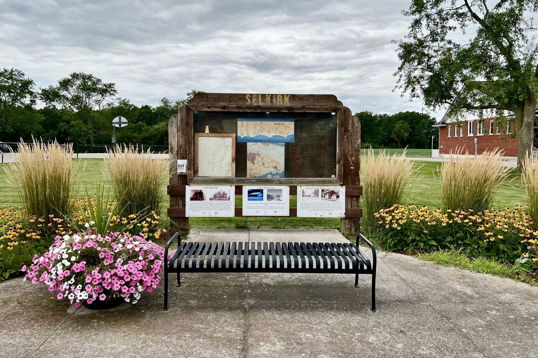
2. 33 and 37 Main Street West Marker (centre of the three)
Credits. This page was last revised on December 6, 2024. It was originally submitted on December 6, 2024, by Tim Boyd of Hamilton, Ontario. This page has been viewed 105 times since then and 13 times this year. Photos: 1, 2. submitted on December 6, 2024, by Tim Boyd of Hamilton, Ontario. • Andrew Ruppenstein was the editor who published this page.
