Brighton in Northumberland County, Ontario — Central Canada (North America)
Brighton Town Hall Bell
Photographed by William Fischer, Jr., December 5, 2024
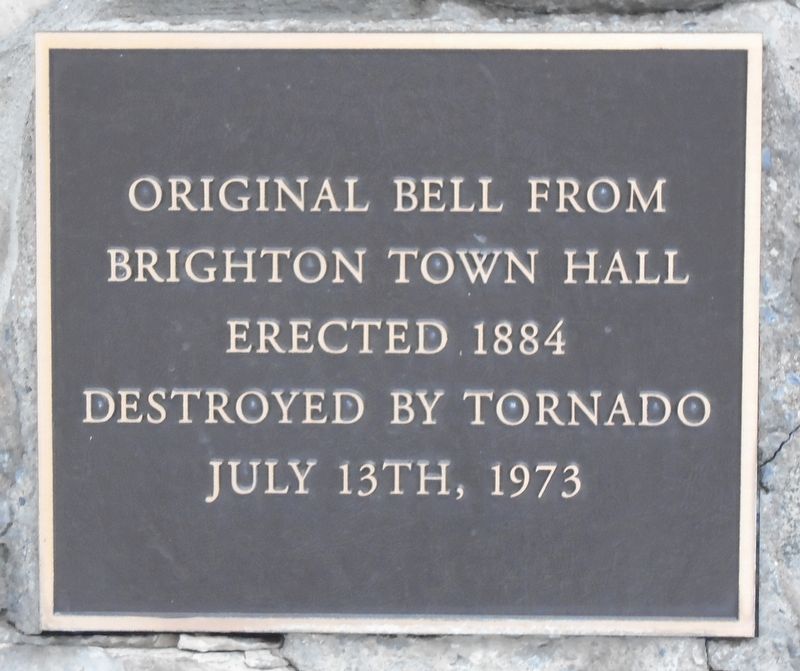
1. Brighton Town Hall Bell Marker
Brighton Town Hall
Erected 1884
Destroyed by tornado
July 13th, 1973
Erected by Municipality of Brighton.
Topics and series. This historical marker is listed in these topic lists: Charity & Public Work • Communications • Disasters • Settlements & Settlers. In addition, it is included in the Historic Bells series list. A significant historical date for this entry is July 13, 1973.
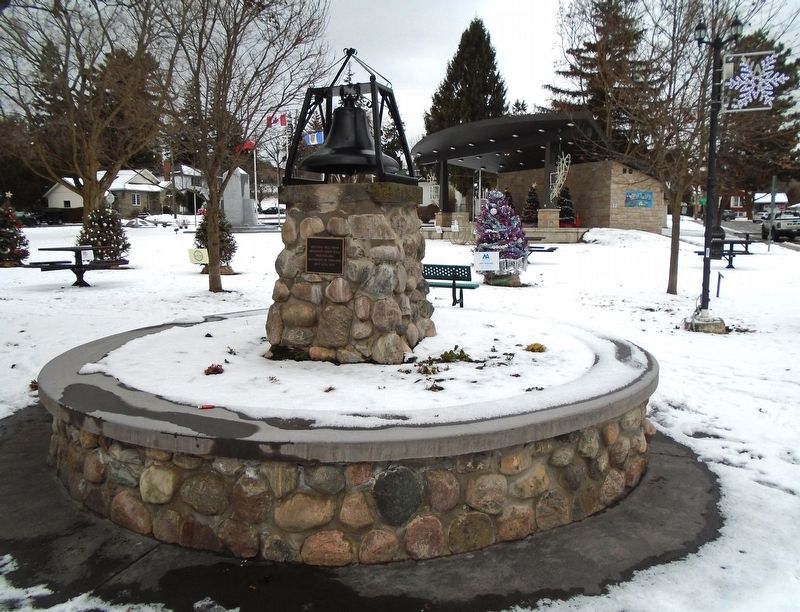
Location. 44° 2.514′ N, 77° 44.336′ W. Marker is in Brighton, Ontario, in Northumberland County. It is at the intersection of Main Street (Provincial Highway 2) and Veterans Way, on the right when traveling west on Main Street. Marker and bell are in Memorial Park. Touch for map. Marker is at or near this postal address: 67 Main Street, Brighton ON K0K 1H0, Canada. Touch for directions.

Regionally, this marker is in the Kawarthas Northumberland Area and in Eastern Ontario. It is also in Central Canada. Globally, it is in North America, on the Great Lakes, in the Western Hemisphere, in the Western World, and in the Anglosphere. Historically, it finds itself in what was once a British colony, the
this page online
Other nearby markers. At least 8 other markers are within 5 kilometers of this marker, measured as the crow flies: Memorial Park (here, next to this marker); Memorial Park: The Centre of Town (here, next to this marker); War Memorial Cenotaph (within shouting distance of this marker); WWI Battle Honours (within shouting distance of this marker); Brighton Public School (approx. 0.4 kilometers away); Brighton District Pioneers and Farmers (approx. 0.6 kilometers away); Brighton Agricultural Society (approx. 0.6 kilometers away); Van Sicklen Cemetery (approx. 3.4 kilometers away). Touch for a list and map of all markers in Brighton.
Photographed by William Fischer, Jr., December 5, 2024
2. Brighton Town Hall Bell and Marker
Photographed by William Fischer, Jr., December 5, 2024
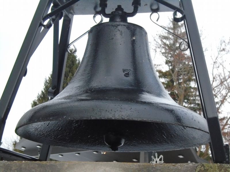
3. Brighton Town Hall Bell
Credits. This page was last revised on December 8, 2024. It was originally submitted on December 8, 2024, by William Fischer, Jr. of Reynoldsburg, Ohio. This page has been viewed 138 times since then and 20 times this year. Photos: 1, 2, 3. submitted on December 8, 2024, by William Fischer, Jr. of Reynoldsburg, Ohio.
