Rothenburg ob der Tauber in Ansbach, Bavaria, Germany — Central Europe
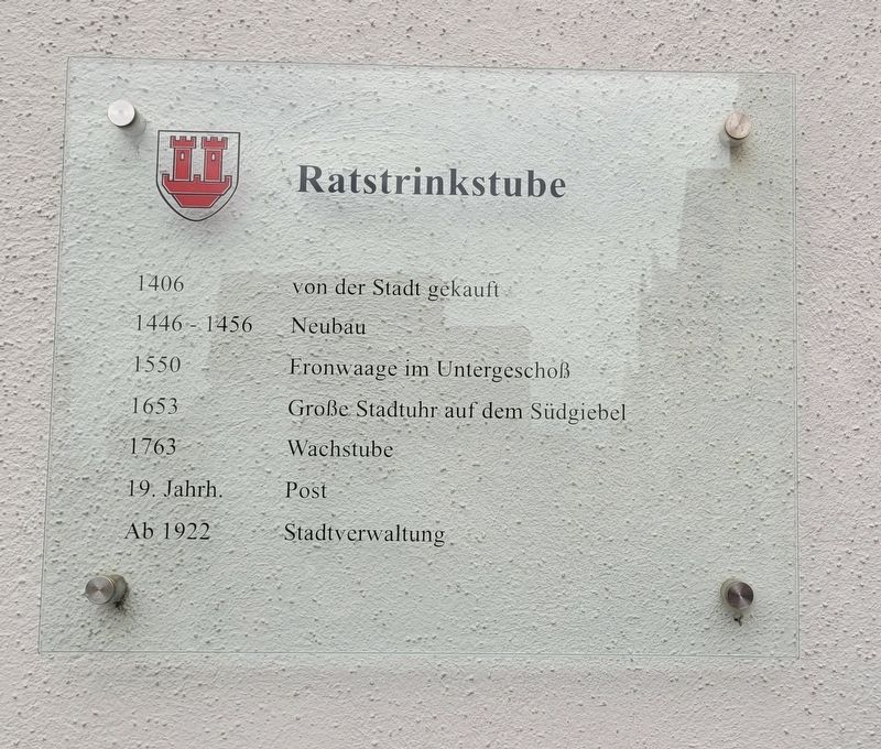
Ratstrinkstube
⎯⎯⎯
Council Pub
Photographed by James Hulse, October 4, 2024
1. Ratstrinkstube / Council Pub Marker

1406 - von der Stadt gekauft
1446-1456 - Neubau
1550 - Fronwaage im Untergeschoß
1653 - Große Stadtuhr auf dem Südgiebel
1763 - Wachstube
19. Jahrh. - Post
Ab 1922 - Stadtverwaltung
1406 - Purchased by the city
1446-1456 - New building
1550 - Tithe scale on the ground floor
1653 - Large city clock on the south gable
1763 - Guard room
19th century - Post office
From 1922 - City administration
Erected by City of Rothenburg ob der Tauber.
Topics. This historical marker is listed in this topic list: Notable Buildings. A significant historical year for this entry is 1406.
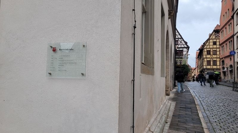
Location. 49° 22.647′ N, 10° 10.745′ E. Marker is in Rothenburg ob der Tauber, Bayern (Bavaria), in Ansbach. It is on Marktplatz. The marker is located on the corner of the building in the Marktplatz. Touch for map. Marker is at or near this postal address: Marktpl 2, Rothenburg ob der Tauber BY 91541, Germany. Touch for directions.

Regionally, this marker is in German Franconia and on the Romantic Road. Globally, it is in Europe, the European Union, Atlantic Europe, Central Europe, the Schengen
this page online
Other nearby markers. At least 8 other markers are within walking distance of this marker: Christian I (within shouting distance of this marker); Neues Rathaus / New Town Hall (within shouting distance of this marker); Altes Rathaus / Old Town Hall (within shouting distance of this marker); Fleischhaus / Meat House (within shouting distance of this marker); Maximilian I (within shouting distance of this marker); St.-Michaels-Kapelle Rothenburg ob der Tauber / St Michaels Chapel (within shouting distance of this marker); Rabbi Meir ben Baruch von Rothenburg (about 90 meters away, measured in a direct line); Heinr. Toppler (about 90 meters away). Touch for a list and map of all markers in Rothenburg ob der Tauber.
Photographed by James Hulse, October 4, 2024
2. Ratstrinkstube / Council Pub Marker
Photographed by James Hulse, October 4, 2024
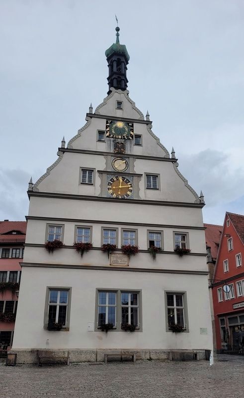
3. The view of the Ratstrinkstube / Council Pub from the Marktplatz
Credits. This page was last revised on December 10, 2024. It was originally submitted on December 9, 2024, by James Hulse of Medina, Texas. This page has been viewed 94 times since then and 8 times this year. Photos: 1, 2, 3. submitted on December 10, 2024, by James Hulse of Medina, Texas.
