Red Rock in Thunder Bay District, Ontario — Central Canada (North America)
CNR Station
Photographed by Cosmos Mariner, June 14, 2024
1. CNR Station Marker
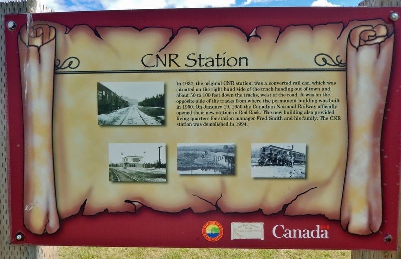
In 1937, the original CNR station, was a converted rail car, which was situated on the right hand side of the track heading out of town and about 50 to 100 feet down the tracks, west of the road. It was on the opposite side of the tracks from where the permanent building was built in 1950. On January 19, 1950 the Canadian National Railway officially opened their new station in Red Rock. The new building also provided living quarters for station manager Fred Smith and his family. The CNR station was demolished in 1994.
Erected by Red Rock Historical Society.
Topics. This historical marker is listed in these topic lists: Architecture • Railroads & Streetcars. A significant historical year for this entry is 1937.
Location. 48° 56.81′ N, 88° 15.771′ W. Marker is in Red Rock, Ontario, in Thunder Bay District. It is on Provincial Highway 628 7.3 kilometers east of Trans-Canada Highway (Provincial Highway 11/17), on the right when traveling east. Touch for map. Marker is in this post office area: Red Rock ON P0T 2P0, Canada. Touch for directions.

Regionally, this marker is in Northern Ontario and specifically in
this page online
Other nearby markers. At least 8 other markers are within 8 kilometers of this marker, measured as the crow flies: CPR Station (a few steps from this marker); Fish and Game Club (approx. 0.3 kilometers away); Marina & Pul-A-Log Park (approx. 0.4 kilometers away); The World Famous Nipigon River (approx. 0.4 kilometers away); The Town of Red Rock (approx. 0.4 kilometers away); Clearwater Creek (approx. 6.9 kilometers away); Turbine Runner (approx. 6.9 kilometers away); a different marker also named The World Famous Nipigon River (approx. 7 kilometers away). Touch for a list and map of all markers in Red Rock.
Related markers. Click here for a list of markers that are related to this marker.
Also see . . .
1. Canadian National Railway.
Photographed by Cosmos Mariner, June 14, 2024
2. CNR Station Marker
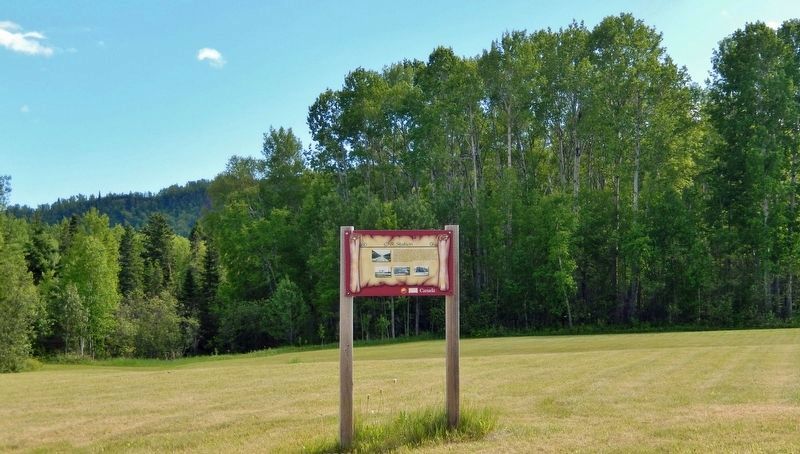
Looking south from Ontario Highway 628.
Excerpt: The Canadian National Railways (CNR), now (CN), was incorporated on June 6, 1919, comprising several railways that had become bankrupt and fallen into Government of Canada hands, along with some railways already owned by the government. Primarily a freight railway, CN also operated passenger services until 1978. CN is Canada's largest railway, in terms of both revenue and the physical size of its rail network, spanning Canada from the Atlantic coast in Nova Scotia to the Pacific coast in British Columbia(Submitted on December 10, 2024, by Cosmos Mariner of Cape Canaveral, Florida.)
2. Red Rock, Ontario (Wikipedia).
Excerpt: In 1937, construction began on a paper mill, along with a new town site for employee homes and bunkhouses. But the mill company went bankrupt in 1938, and the project was abandoned. In 1940, the mill site was bought by the Canadian Government, who converted the bunkhouses into a prisoner-of-war camp, known as Camp "R". In October 1941, all prisoners were transferred to other internment camps and the site was closed. In 1942, a new pulp and paper company bought the site and construction of a mill began again in 1944. On July 20, 1945, the community was incorporated as the Improvement District of Red Rock. That same year, the mill became operational. The town grew with new stores, a theatre, a public school, two railroad stations, and a church.(Submitted on December 10, 2024, by Cosmos Mariner of Cape Canaveral, Florida.)
Credits. This page was last revised on December 10, 2024. It was originally submitted on December 10, 2024, by Cosmos Mariner of Cape Canaveral, Florida. This page has been viewed 148 times since then and 29 times this year. Photos: 1, 2. submitted on December 10, 2024, by Cosmos Mariner of Cape Canaveral, Florida.
