Montgomery in Lycoming County, Pennsylvania — The American Northeast (Mid-Atlantic)
Montgomery
| — | Muncy - 5 | — |
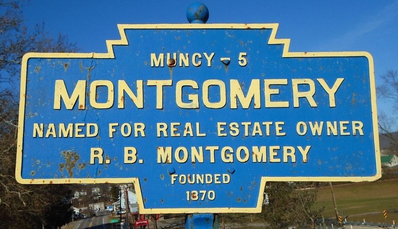
Photographed by William Fischer, Jr., December 14, 2024
1. Montgomery Marker
R. B. Montgomery
Founded 1870
Topics and series. This historical marker is listed in this topic list: Settlements & Settlers. In addition, it is included in the Pennsylvania Keystone Markers series list. A significant historical year for this entry is 1870.
Location. 41° 10.039′ N, 76° 52.254′ W. Marker is in Montgomery, Pennsylvania, in Lycoming County. It is on 2nd Street (Pennsylvania Route 54/405) north of the bridge over the Susquehanna River, on the right when traveling north. Touch for map. Marker is in this post office area: Montgomery PA 17752, United States of America. Touch for directions.

Regionally, this marker is in the Pennsylvania Wilds and in the Susquehanna Valley. It is also in the American Northeast, in the Mid-Atlantic, in Appalachia, and specifically in Northern Appalachia. Globally, it is in North America, the Western Hemisphere, the Western World, and the Anglosphere. Historically, it finds itself in what was once the Haudenosaunee (Iroquois) Confederacy and also one of the original Thirteen Colonies.
Other nearby markers. At least 8 other markers are within
this page online
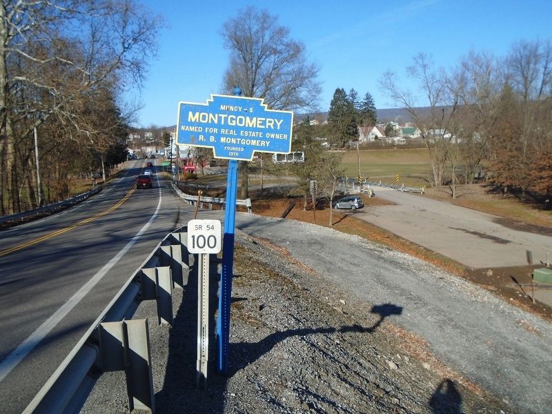
Photographed by William Fischer, Jr., December 14, 2024
2. Montgomery Marker
Credits. This page was last revised on December 18, 2024. It was originally submitted on December 15, 2024, by William Fischer, Jr. of Reynoldsburg, Ohio. This page has been viewed 109 times since then and 11 times this year. Photos: 1, 2. submitted on December 15, 2024, by William Fischer, Jr. of Reynoldsburg, Ohio.
