Milford in South Central Region, Connecticut — The American Northeast (New England)
Liberty Rock
Photographed by Michael Herrick, January 7, 2010
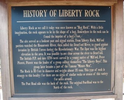
1. Liberty Rock Marker
Liberty Rock as we call it today was one known as “Hog Rock”. With a little imagination, the rock appears to be in the shape of a hog. Somewhere in the rock can be found the imprint of a hog’s foot.
The site served as a lookout post and signal station. From Liberty Rock, Milford patriots watched the Housatonic River, then called the Stratford River, to guard against invasion by British forces during the Revolutionary War. The Spot was the highest elevation in the area. It was possible to see clear across the river to Stratford. The initials P.P. and date 1776 were carved by a young native of Milford, Peter Pierett. Pierett was the leader of a group calling themselves “The Liberty Boys”. This group later became a part of the famous “Minute Men”.
The Rock is 10 feet in diameter and weighs almost 35 tons. This type of rock is strange to the locality for there are no signs of similar rocks or stones of this variety for miles around. The Post Road side was the back of the rock. The original Post Road was to the North of the rock.
Topics and series. This historical
this page online
Location. 41° 12.308′ N, 73° 5.661′ W. Marker is in Milford in South Central Region, Connecticut. It is at the intersection of Bridgeport Avenue (U.S. 1) and Concord Avenue, on the left on Bridgeport Avenue. Located in Liberty Rock Park. Touch for map. Marker is in this post office area: Milford CT 06460, United States of America. Touch for directions.

Regionally, this marker is in the Connecticut River Valley, on the Connecticut Shoreline, and in Greater New Haven. It is also in the American Northeast, in New England, and on the Eastern Seaboard. Globally, it is in the North Atlantic Region, North America, the Western Hemisphere, the Western World, and the Anglosphere. Historically, it finds itself in what was once New Haven County and also one of the original Thirteen Colonies.
Other nearby markers. At least 8 other markers are within 3 miles of this marker, measured as the crow flies: VFW Post 9460 Memorial (approx. 1½ miles
Photographed by Michael Herrick, January 7, 2010
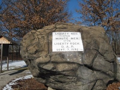
2. Liberty Rock
1766
Minute Men
1776
Liberty Rock
D.A.R.
Sept. 7, 1897
Photographed by Michael Herrick, January 7, 2010
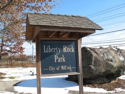
3. Liberty Rock Park Marker
Photographed by Michael Herrick, January 7, 2010
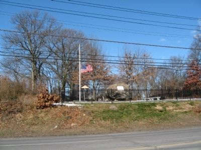
4. Liberty Rock from Bridgeport Avenue
Credits. This page was last revised on May 19, 2026. It was originally submitted on January 9, 2010, by Michael Herrick of Southbury, Connecticut. This page has been viewed 5,520 times since then and 444 times this year. Photos: 1, 2, 3, 4. submitted on January 9, 2010, by Michael Herrick of Southbury, Connecticut. • Kevin W. was the editor who published this page.
