Providence Crossing in Charlotte in Mecklenburg County, North Carolina — The American South (South Atlantic)
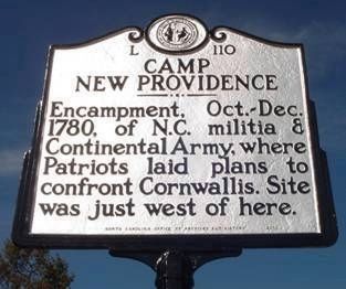
Camp New Providence
North Carolina Highway Historical Marker Program
1. Camp New Providence Marker
Erected 2010 by North Carolina Office of Archives and History. (Marker Number L-110.)
Topics and series. This historical marker is listed in these topic lists: Patriots & Patriotism • War, US Revolutionary. In addition, it is included in the North Carolina Division of Archives and History series list. A significant historical year for this entry is 1780.
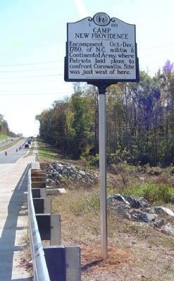
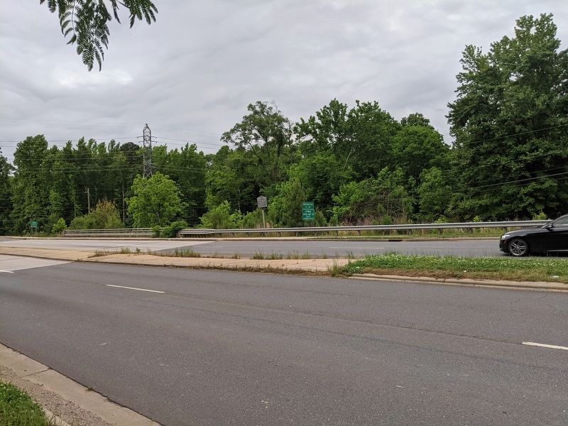
Location. 35° 2.193′ N, 80° 46.066′ W. Marker is in Charlotte, North Carolina, in Mecklenburg County. It is in Providence Crossing. It is on Providence Road (State Highway 16) south of Belicourt Drive, on the right when traveling south. Located at Six Mile Creek near the Mecklenburg/Union County line. Touch for map. Marker is in this post office area: Charlotte NC 28277, United States of America. Touch for directions.

Regionally, this marker is in the Piedmont. It is also in the American South and specifically in the Upper South. Globally, it is in North America, the Western Hemisphere, the Western World, and the
this page online
Other nearby markers. At least 8 other markers are within 3 miles of this marker, measured as the crow flies: David Rea (approx. 2.4 miles away); Thomas Downs (approx. 2.4 miles away); Henry Downs (approx. 2.4 miles away); John Flennegin (approx. 2.4 miles away); Neill Morrison (approx. 2.4 miles away); Providence Presbyterian Church (approx. 2.4 miles away); David Flennigan (approx. 2.4 miles away); In Memory of John Rea (approx. 2.4 miles away). Touch for a list and map of all markers in Charlotte.
Regarding Camp New Providence. Site where the Continental forces and NC militia regrouped after the disastrous Battle of Camden of August, 1780. Winter Encampment with anywhere from 1,300 to 2,600 men over the period. Officers of note in the Southern Campaign who were stationed there included Horatio Gates, William Smallwood, Daniel Morgan, Otho Williams, John Eager Howard, William Washington and Thaddeus Kosciuszko.
North Carolina Highway Historical Marker Program
2. Camp New Providence Marker
Photographed by Mike Wintermantel, May 11, 2021
3. Camp New Providence Marker
Credits. This page was last revised on December 21, 2024. It was originally submitted on May 30, 2011, by Tim Berly of Charlotte, North Carolina. This page has been viewed 3,510 times since then and 149 times this year. Last updated on December 19, 2024, by Lee King of Charlotte, North Carolina. Photos: 1. submitted on May 30, 2011, by Tim Berly of Charlotte, North Carolina. 2. submitted on June 20, 2011, by Tim Berly of Charlotte, North Carolina. 3. submitted on May 18, 2021, by Mike Wintermantel of Pittsburgh, Pennsylvania. • Bernard Fisher was the editor who published this page.
