Valkenburg in Valkenburg aan de Geul, Limburg, Netherlands — Northwestern Europe
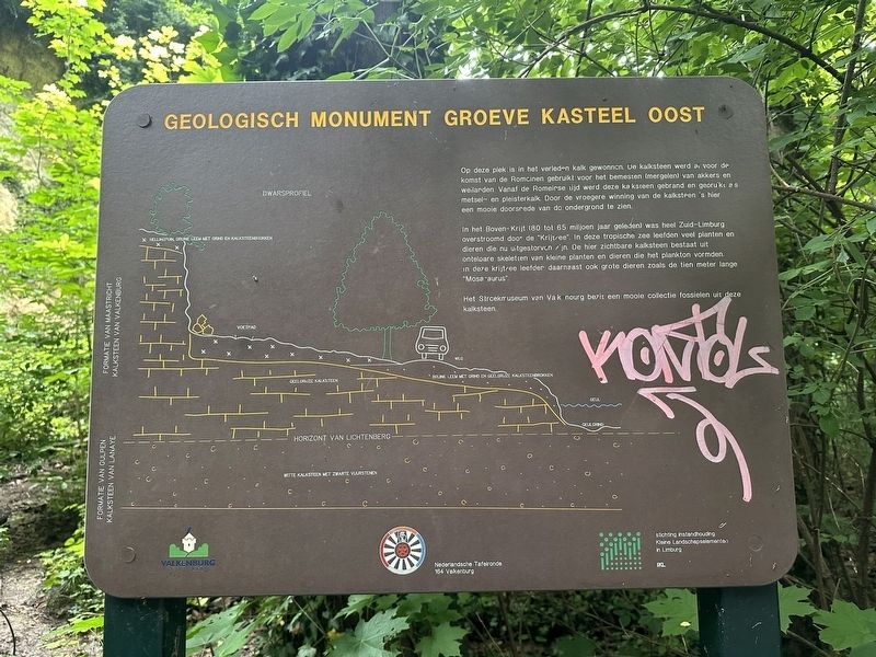
Geologisch Monument Groeve Kasteel Oost
⎯⎯⎯
Kasteel Oost Quarry Geological Monument
Photographed by Andrew Ruppenstein, July 13, 2024
1. Geologisch Monument Groeve Kasteel Oost / Kasteel Oost Quarry Geological Monument Marker

In het Boven-Krijt (80 tot 65 miljoen jaar geleden) was heel Zuid-Limburg overstroomd door de "Krijtzee". In deze tropische zee leefden veel planten en dieren die nu uitgestorven zijn. De hier zichtbare kalksteen bestaat uit ontelbare skeletten van kleine planten en dieren die het plankton vormden. In deze krijtzee leefder daarnaast ook grote dieren zoals de tien meter lange "Mosasaurus".
Het Streekmuseum van Valkenburg bezit een mooie collectie fossielen uit deze kalksteen.
In the past, lime was extracted at this location. The limestone was already used before the arrival of the Romans for fertilizing (marling) fields and pastures. From Roman times, this limestone was burned and used as masonry and plaster. Due to the earlier
this page online
In the Upper Cretaceous (80 to 65 million years ago) all of South Limburg was flooded by the "Cretaceous Sea". Many plants and animals that are now extinct lived in this tropical sea. The limestone visible here consists of countless skeletons of small plants and animals that formed the plankton. In addition, large animals such as the ten-meter-long "Mosasaur" also lived in this Cretaceous Sea.
The Valkenburg Regional Museum has a beautiful collection of fossils from this limestone.
Erected by Gemeente Valkenburg aan de Geul, Nederlandsche Tafelronde 164 Valkenburg, IKL.
Topics. This historical marker and monument is listed in these topic lists: Industry & Commerce • Natural Resources.
Location. 50° 51.665′ N, 5° 50.696′ E. Marker is in Valkenburg, Limburg, in Valkenburg aan de Geul. It is on Oosterweg, on the left when traveling east. The marker is on the north side of Oosterweg, roughly at the point where Oosterweg becomes a pedestrian path. There is parking directly opposite the marker
Photographed by Andrew Ruppenstein, July 13, 2024
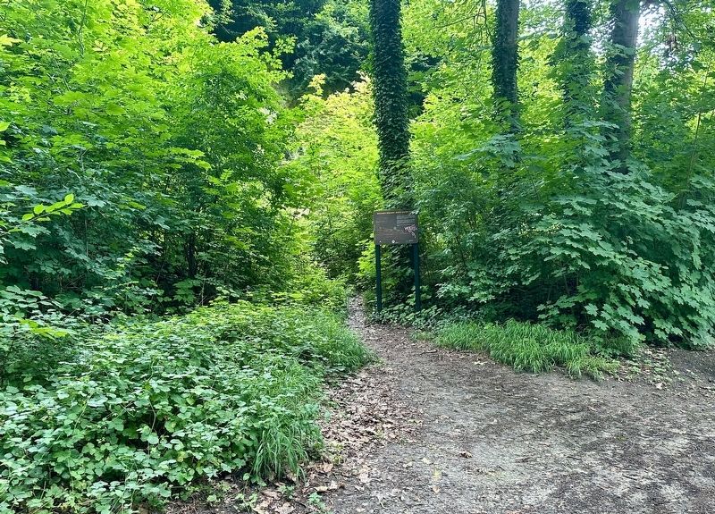
2. Kasteel Oost Quarry Geological Monument marker - wide view
The marker is visible here next to a small path that juts north off the main path.

Regionally, it is in Europe, the European Union, Atlantic Europe, the Benelux Low Countries, the Schengen Area, Western Europe, and the Western World. Historically, it finds itself in what was once the Roman Empire and specifically also the Holy Roman Empire.
Other nearby markers. At least 8 other markers are within walking distance of this marker: Kasteel Oost (about 210 meters away, measured in a direct line); Kasteel Oost / Oost Castle (about 210 meters away); Halifax JB 907 Crash Memorial (approx. 0.3 kilometers away); Crash Vliegtuig Kasteel Schaloen / Kasteel Schaloen Plane Crash (approx. 0.3 kilometers away); Vaandeluitreiking Landstormkorps / Flag presentation of the Landstorm Corps (approx. 0.4 kilometers away); Duitse invasie - May 10, 1940 - German Invasion (approx. 0.9 kilometers away); Berkelpoort (city gate) (approx. 0.9 kilometers away); Johannes de Doperkerk / John the Baptist Church (approx. 0.9 kilometers away). Touch for a list and map of all markers in
Photographed by Andrew Ruppenstein, July 13, 2024
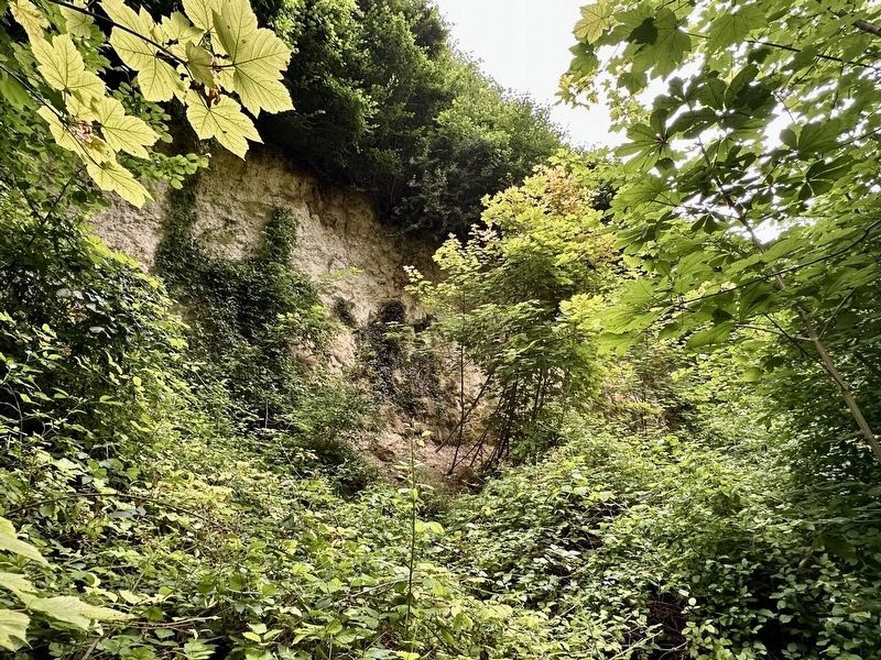
3. Quarry viewing area
Less than 5 meters north of the marker one can see some of the remains of the former quarry, such as it is. The area is rather overgrown and offers little but a glimpse of the quarrying area.
Also see . . . Groeve Kasteel Oost (Wikipedia, in Dutch). (Submitted on December 20, 2024.)
Credits. This page was last revised on December 20, 2024. It was originally submitted on December 20, 2024, by Andrew Ruppenstein of Lamorinda, California. This page has been viewed 116 times since then and 16 times this year. Photos: 1, 2, 3. submitted on December 20, 2024, by Andrew Ruppenstein of Lamorinda, California.
