Menlo Park in Tucson in Pima County, Arizona — The American Mountains (Southwest)
Warner's Mill
Inscription.
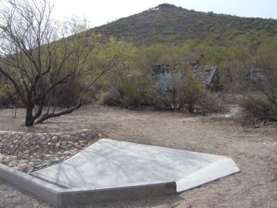
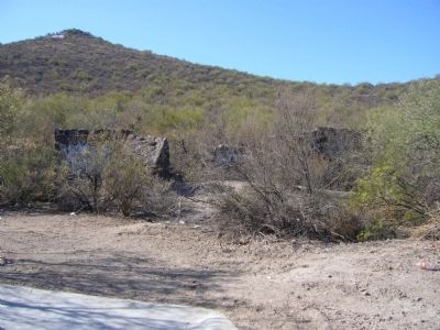
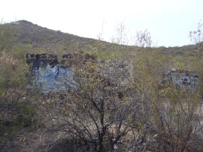
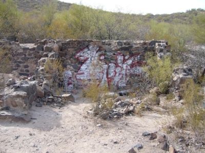
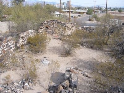
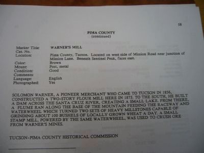
Solomon Warner, a pioneer merchant who came to Tucson in 1856, constructed a two-story flour mill here in 1875. To the south, he built a dam across the Santa Cruz River, creating a small lake. From there, a flume ran along the base of the mountain feeding the raceway and waterwheel which turned two sets of heavy millstones capable of grinding about 100 bushels of locally grown wheat a day. A small stamp mill, powered by the same waterwheel, was used to crush ore from Warner's mines.
Erected by Tucson-Pima County Historical Commission.
Topics. This historical marker is listed in this topic list: Industry & Commerce. A significant historical year for this entry is 1856.
Location. Marker is missing. It was located near 32° 12.834′ N, 110° 59.291′ W. Marker was in Tucson, Arizona, in Pima County. It was in Menlo Park. Marker could be reached from the intersection of Mission Road and Mission Lane. Touch for map. Marker was at or near this postal address: 1007 W Mission Ln, Tucson AZ 85745, United States of America. Touch for directions.
Other nearby markers. At least 8 other markers are within walking distance of this location. Sentinel Peak (approx. 0.3 miles away); a different marker also named Sentinel Peak (approx. 0.3 miles away); Si We:begi Ha Ñeid (approx. half a mile away); El Paso & Southwestern Depot and Park (approx. ¾ mile away); Carrillo Intermediate School (approx. 0.8 miles away); El Tiradito (approx. 0.8 miles away); The Manning House (approx. 0.8 miles away); Hugo O'Conor (approx. 0.9 miles away). Touch for a list and map of all markers in Tucson.
Additional commentary.
1. Marker continues missing as of June 8, 2015.
I visited the area on June 8, 2015 and unfortunately the marker continues missing
— Submitted June 8, 2015, by J. Makali Bruton of Accra, Ghana.
Credits. This page was last revised on June 16, 2016. It was originally submitted on January 10, 2010, by Bill Kirchner of Tucson, Arizona. This page has been viewed 1,513 times since then and 71 times this year. Photos: 1, 2, 3, 4, 5, 6. submitted on January 10, 2010, by Bill Kirchner of Tucson, Arizona. • Syd Whittle was the editor who published this page.
