Unionville in Markham in York Region, Ontario — Central Canada (North America)
Veteran’s Memorial Building
Photographed by Tim Boyd, December 20, 2024
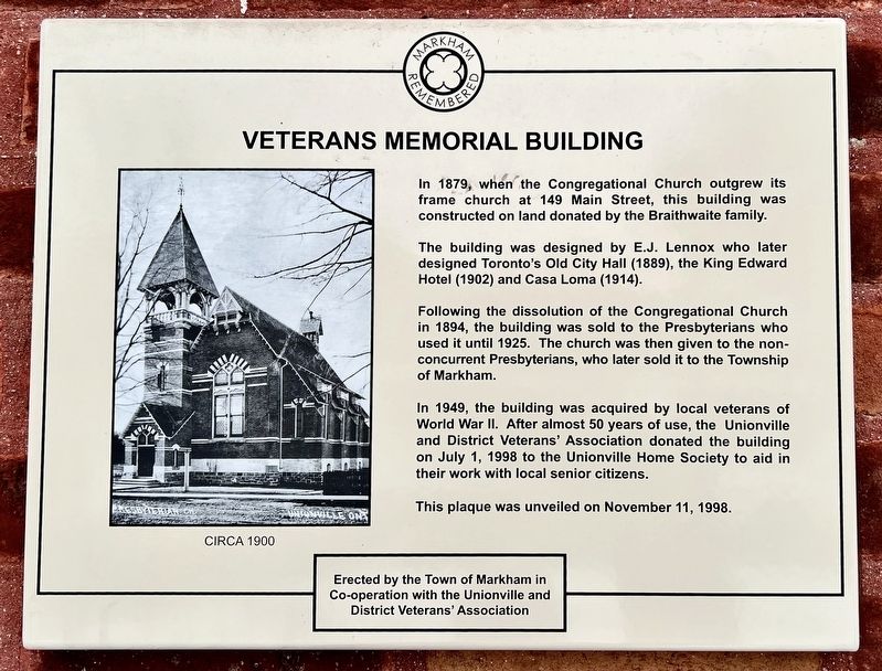
1. Veteran’s Memorial Building Marker
The building was designed by E.J. Lennox who later designed Toronto's Old City Hall (1889), the King Edward Hotel (1902) and Casa Loma (1914).
Following the dissolution of the Congregational Church in 1894, the building was sold to the Presbyterians who used it until 1925. The church was then given to the non-concurrent Presbyterians, who later sold it to the Township of Markham.
In 1949, the building was acquired by local veterans of World War Il. After almost 50 years of use, the Unionville and District Veterans' Association donated the building on July 1, 1998 to the Unionville Home Society to aid in their work with local senior citizens.
This plaque was unveiled on November 11, 1998.
Erected 1998 by Town of Markham.
Topics. This historical marker is listed in these topic lists: Architecture • Religion & Religious Structures. A significant historical year for this entry is 1879.
Location. 43° 51.969′ N, 79° 18.688′ W. Marker is in Markham, Ontario,
this page online

Regionally, this marker is in Greater Toronto, specifically on the Golden Horseshoe, in the York, Durham and Headwaters Area, and in the Toronto Metropolitan Area. It is also in Central Canada. Globally, it is in North America, the Western Hemisphere, the Western World, and the Anglosphere. Historically, it finds itself in what was once a British colony, the Viceroyalty of New France, the Haudenosaunee (Iroquois) Confederacy, and Rupert’s Land.
Other nearby markers. At least 8 other markers are within 11 kilometers of this marker, measured as the crow flies: Unionville (about 150 meters away, measured in a direct line); The Founding of Markham (approx. 4.9 kilometers away); The Founding of Richmond Hill (approx. 10.3 kilometers away); The Founding of Thornhill (approx. 10.6 kilometers away); Mason Cogswell's Wagon Yard
Photographed by Tim Boyd, December 20, 2024
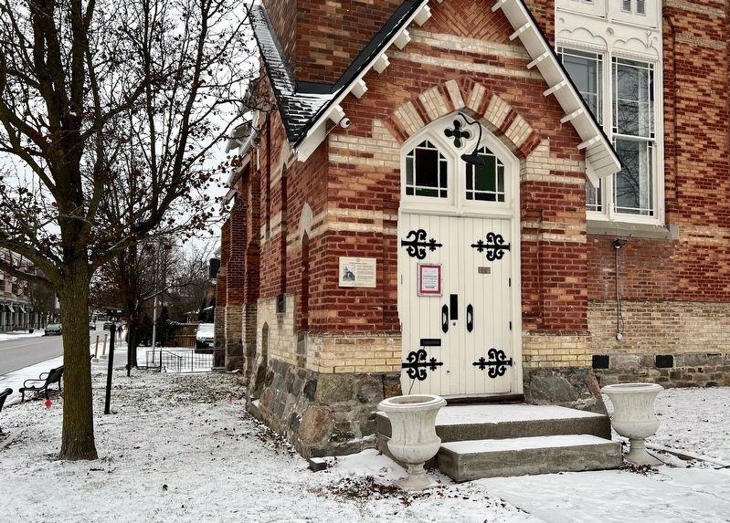
2. Veteran’s Memorial Building Marker
Photographed by Tim Boyd, December 20, 2024
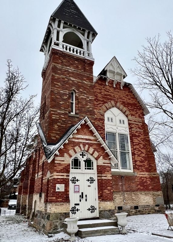
3. Former Veteran’s Memorial Building, 2024
Credits. This page was last revised on December 21, 2024. It was originally submitted on December 21, 2024, by Tim Boyd of Hamilton, Ontario. This page has been viewed 125 times since then and 39 times this year. Photos: 1, 2, 3. submitted on December 21, 2024, by Tim Boyd of Hamilton, Ontario. • Andrew Ruppenstein was the editor who published this page.
