Virginia City in Storey County, Nevada — The American Mountains (Southwest)
The Comstock Lode
1864 – 1964
Photographed by Syd Whittle, August 25, 2009
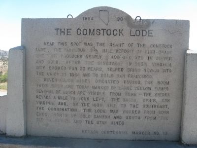
1. The Comstock Lode Marker
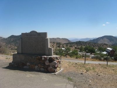
Near this spot was the heart of the Comstock Lode, the fabulous 2½ mile deposit of high-grade ore that produced nearly $400,000,000 in silver and gold. After the discovery in 1859, Virginia City boomed for 20 years, helped bring Nevada into the Union in 1864 and to build San Francisco.
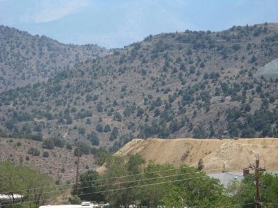
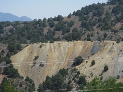
Seven major mines operated during the boom. Their sites are today marked by large yellow dumps, several which are visible from here – The Sierra Nevada, a mile to your left, the Union, Ophir, Con Virginia, and, on the high hill to the southeast, the Combination. The lode was worked from both ends, north up Cold Canyon and south from the Sierra Nevada and the Utah Mines.
Erected by Nevada Centennial Commission. (Marker Number 13.)
Topics. This historical marker is listed in this topic list: Settlements & Settlers. A significant historical year for this entry is 1859.
Location. 39° 18.976′ N, 119° 38.834′ W. Marker is in Virginia City, Nevada, in Storey County. It is on C Street (Nevada Route 341), on the right when traveling north. Touch for map. Marker is in this post office area: Virginia City NV 89440, United States of America.
this page online

Regionally, this marker is in Greater Reno Area. It is also in the American Mountain West. Globally, it is in North America, the Western Hemisphere, the Western World, and the Anglosphere. Historically, it finds itself in what was once New Spain and also Mexico’s Alta California.
Other nearby markers. At least 8 other markers are within walking distance of this marker: Life in Virginia City on the Comstock Lode (here, next to this marker); Silver Terrace Cemeteries (a few steps from this marker); Veterans Day November 11th 1995 (within shouting distance of this marker); The Jewish Cemetery (approx. ¼ mile away); Mary Jane Simpson (approx. ¼ mile away); V & T, 1869 - 1950 (approx. 0.3 miles away); Consolidated Virginia & California Pan Mill (approx. 0.3 miles away); Captain Edward Faris Storey (approx. 0.3 miles away). Touch for a list and map of all markers in Virginia City.
Another marker is no longer nearby. John Pearson (was approx. ¼ mile away but has been confirmed missing).
Also see . . . Comstock Lode – Creating Nevada History. Legends of America website entry (Submitted on July 7, 2025, by Larry Gertner of New York, New York.)
Photographed by Syd Whittle, August 25, 2009
2. The Comstock Lode Marker
Photographed by Syd Whittle, August 25, 2009
3. Mine Tailings Seen From Marker
Photographed by Syd Whittle, August 9, 2009
4. The Combination Mine Tailings
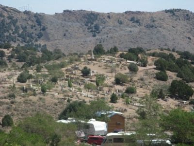
Photographed by Syd Whittle, August 25, 2009
5. The Comstock Cemetery
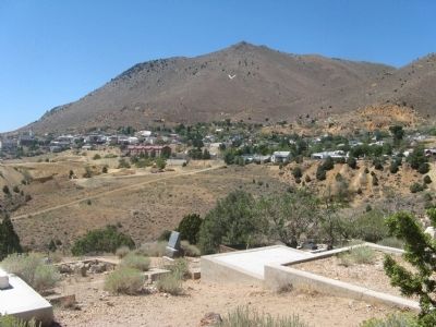
Photographed by Syd Whittle, August 25, 2009
6. View of Virginia City
Credits. This page was last revised on July 7, 2025. It was originally submitted on September 22, 2009, by Syd Whittle of Mesa, Arizona. This page has been viewed 2,255 times since then and 106 times this year. Last updated on December 26, 2024, by Marc Belanger of Reno, Nevada. Photos: 1, 2, 3, 4, 5, 6. submitted on September 22, 2009, by Syd Whittle of Mesa, Arizona. • J. Makali Bruton was the editor who published this page.
