Beverly Oaks in Irving in Dallas County, Texas — The American South (West South Central)
Oak Haven United Methodist Church
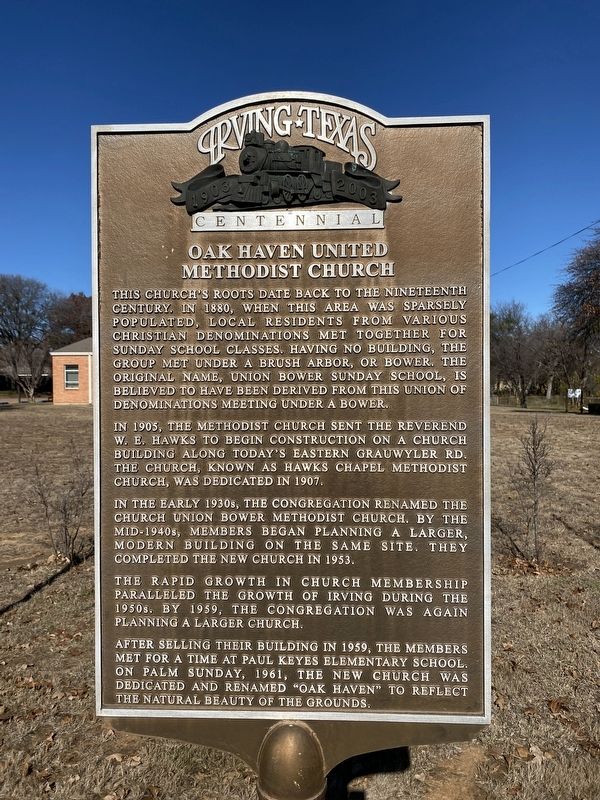
Photographed by Morgan Petermann, December 20, 2024
1. Oak Haven United Methodist Church Marker
In 1905, the Methodist Church sent the Reverend W.E. Hawks to begin construction on a church building along today's Eastern Grauwyler Rd. The Church, known as Hawks Chapel Methodist Church, was dedicated in 1907.
In the early 1930s, the congregation renamed the church Union Bower Methodist Church. By the mid-1940s, members began planning a larger, modern building on the same site. They completed the new church in 1953.
The rapid growth in church membership paralleled the growth of Irving during the 1950s. By 1959, the congregation was again planning a larger church.
After selling their building in 1959, the members met for a time at Paul Keyes Elementary School. On Palm Sunday, 1961, the new church was dedicated and renamed
this page online
Erected 2003 by City of Irving.
Topics. This historical marker is listed in this topic list: Religion & Religious Structures. A significant historical year for this entry is 1961.
Location. 32° 49.867′ N, 96° 55.604′ W. Marker is in Irving, Texas, in Dallas County. It is in Beverly Oaks. It is on North Irving Heights Drive north of Blackwell Drive. Touch for map. Marker is at or near this postal address: 1600 N Irving Heights Dr, Irving TX 75061, United States of America. Touch for directions.

Regionally, this marker is in the Prairies & Lakes Region and in the Dallas-Fort Worth Metropolitan Area. Globally, it is in North America, a Gulf of Mexico state, the Western Hemisphere, the Western World, and the Anglosphere. Historically, it finds itself in what was once New Spain, the Republic of Texas, one of the Confederate States of America, and the Antebellum South.
Other nearby markers. At least 8 other markers are within 2 miles of this marker, measured as the crow flies: Union Bower Community (approx. 1.2 miles away); M-A-L Hobby Shop (approx. 1.3 miles away);
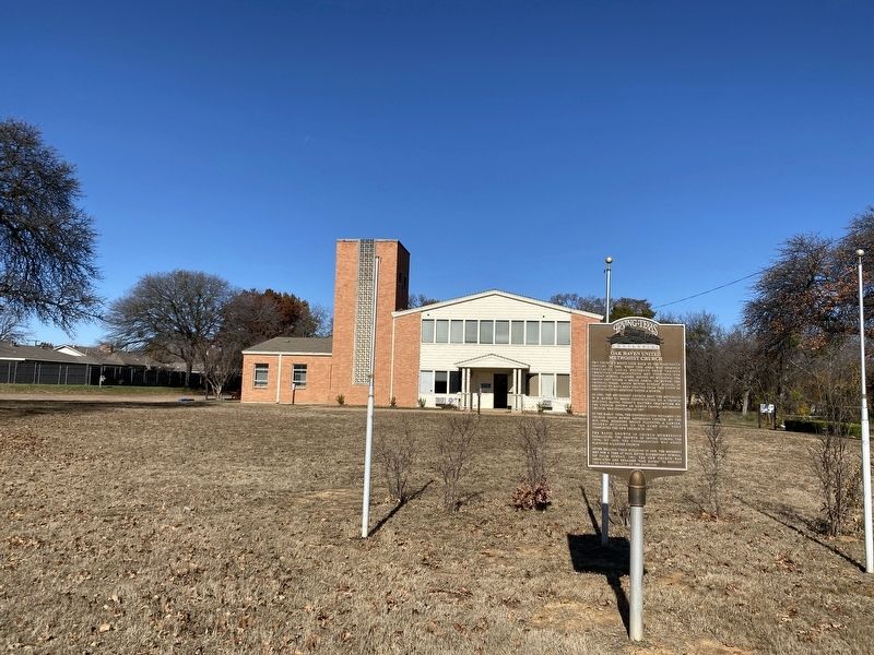
Photographed by Morgan Petermann, December 20, 2024
2. Oak Haven United Methodist Church Marker
Credits. This page was last revised on December 30, 2024. It was originally submitted on December 30, 2024, by Morgan Petermann of Hurst, Texas. This page has been viewed 136 times since then and 26 times this year. Photos: 1, 2. submitted on December 30, 2024, by Morgan Petermann of Hurst, Texas. • James Hulse was the editor who published this page.
