Irving in Dallas County, Texas — The American South (West South Central)
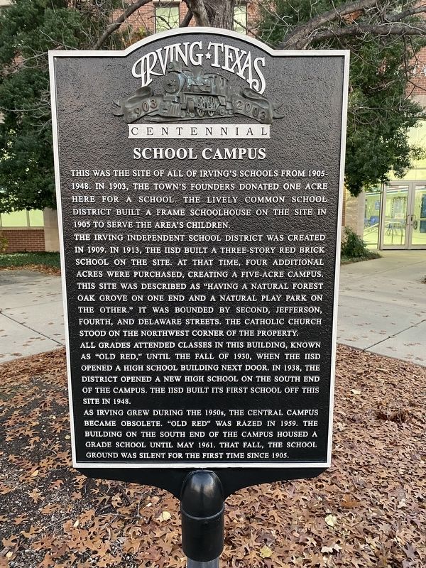
School Campus
Photographed by Morgan Petermann
1. School Campus Marker
The Irving Independent School District was created in 1909. In 1913, the IISD built a three-story red brick school on the site. At that time, four additional acres were purchased, creating a five-acre campus. This site was described as "having a natural forest oak grove on one end and a natural play park the other." It was bounded by Second, Jefferson, Fourth, and Delaware Streets. The Catholic Church stood on the northwest corner of the property.
All grades attended classes in this building, known as "Old Red," until the fall of 1930, when the IISD opened a high school building next door. In 1938, the district opened a new high school building on the south end of the campus. The IISD build its first school off this site in 1948. As Irving grew during the 1950s, the Central campus became obsolete. "Old Red" was razed in 1959. The building on the south end of the campus housed a
this page online
Erected 2003 by City of Irving.
Topics. This historical marker is listed in this topic list: Education.
Location. 32° 48.753′ N, 96° 56.672′ W. Marker is in Irving, Texas, in Dallas County. It is at the intersection of East 2nd Street and S Jefferson Street, on the right when traveling east on East 2nd Street. Touch for map. Marker is at or near this postal address: 200 S Jefferson St, Irving TX 75060, United States of America. Touch for directions.

Regionally, this marker is in the Prairies & Lakes Region and in the Dallas-Fort Worth Metropolitan Area. Globally, it is in North America, a Gulf of Mexico state, the Western Hemisphere, the Western World, and the Anglosphere. Historically, it finds itself in what was once New Spain, the Republic of Texas, one of the Confederate States of America, and the Antebellum South.
Other nearby markers. At least 8 other markers are within walking distance of this marker: St. Luke Catholic Church (here, next to this marker); South Delaware Church of Christ
Photographed by Morgan Petermann
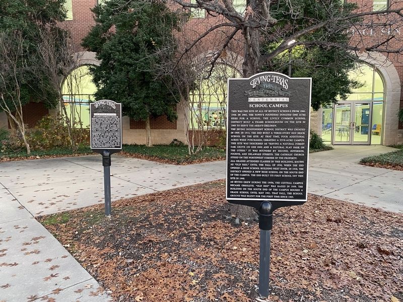
2. School Campus Marker next to the St. Luke Catholic Church Marker.
Photographed by Morgan Petermann
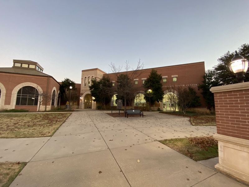
3. School Campus Marker
Credits. This page was last revised on January 1, 2025. It was originally submitted on December 30, 2024, by Morgan Petermann of Hurst, Texas. This page has been viewed 162 times since then and 31 times this year. Photos: 1, 2, 3. submitted on December 30, 2024, by Morgan Petermann of Hurst, Texas. • James Hulse was the editor who published this page.
