Irving in Dallas County, Texas — The American South (West South Central)
Eagle Ford Crossing
Photographed by Morgan Petermann, December 20, 2024
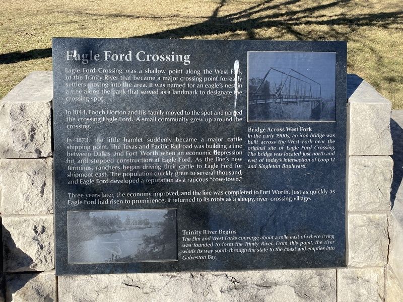
1. Eagle Ford Crossing Marker
Eagle Ford Crossing was a shallow point along the West Fork of the Trinity River that became a major crossing point for early settlers moving into the area. It was named for an eagle's nest in a tree along the bank that served as a landmark to designate the crossing spot.
In 1844, Enoch Horton and his family moved to the spot and named the crossing Eagle Ford. A small community grew up around the crossing.
In 1873, the little hamlet suddenly became a major cattle shipping point. The Texas and Pacific Railroad was building a line between Dallas and Fort Worth when an economic depression hit and stopped construction at Eagle Ford. As the line's new terminus, ranchers began driving their cattle to Eagle Ford for shipment east. The population quickly grew to several thousand, and Eagle Ford developed a reputation as a raucous "cow-town."
Three years later, the economy improved, and the line was completed to Fort Worth. Just as quickly as Eagle Ford had risen to prominence, it returned to its roots as a sleepy, river-crossing village.
Captions
(Photo #1) Trinity River Begins
The Elm and West Forks converge about a mile east of where Irving was founded to form the Trinity River. From this point, the river winds its way south through the state to the coast and empties into Galveston Bay.
(Photo #2) Bridge Across West Fork
In the early 1900s, an iron bridge was built across the West Fork near the original site of Eagle Ford Crossing. The bridge was located just north and east of today's intersection of Loop 12 and Singleton Boulevard.
Erected by City
this page online
Topics. This historical marker is listed in these topic lists: Industry & Commerce • Settlements & Settlers.
Location. 32° 48.729′ N, 96° 56.787′ W. Marker is in Irving, Texas, in Dallas County. It is at the intersection of South Main Street and West 2nd Street on South Main Street. Touch for map. Marker is at or near this postal address: 217 S Main St, Irving TX 75060, United States of America. Touch for directions.

Regionally, this marker is in the Prairies & Lakes Region and in the Dallas-Fort Worth Metropolitan Area. Globally, it is in North America, a Gulf of Mexico state, the Western Hemisphere, the Western World, and the Anglosphere. Historically, it finds itself in what was once New Spain, the Republic of Texas, one of the Confederate States of America, and the Antebellum South.
Other nearby markers. At least 8 other markers are within walking distance of this marker: Twin Wells Community (here, next to this marker); Kit Community (here, next to this marker); Heritage Park Gazebo (a few steps from this marker); Irving's First 'Water Tower' (a
Photographed by Morgan Petermann, December 20, 2024
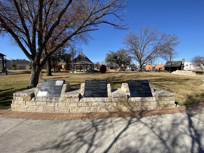
2. Eagle Ford, Twin Wells, and Kit Markers.
Eagle Ford Crossing is on the left.
Credits. This page was last revised on July 21, 2025. It was originally submitted on December 30, 2024, by Morgan Petermann of Hurst, Texas. This page has been viewed 717 times since then and 102 times this year. Photos: 1, 2. submitted on December 30, 2024, by Morgan Petermann of Hurst, Texas. • James Hulse was the editor who published this page.
