Irving in Dallas County, Texas — The American South (West South Central)
Union Bower Community
Photographed by Morgan Petermann, December 20, 2024
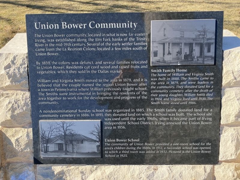
1. Union Bower Community Marker
By 1859, the colony was defunct, and several families relocated to Union Bower. Residents cut cord wood and raised fruits and vegetables, which they sold in the Dallas market.
William and Virginia Smith moved to the area in 1879, and it is believed that the couple named the region Union Bower after a town in Pennsylvania where William previously taught school. The Smiths were instrumental in bringing the residents of the area together to work for the development and progress of the community.
A nondenominational Sunday school was organized in 1885. The Smith family donated land for a community cemetery in 1886. In 1891, they donated land on which a school was built. The school site was used until the early 1960s, when it became part of Irving Independent School District. Irving annexed the Union Bower area in 1956.
Captions
(Photo #1) Union Bower School
The community of Union Bower provided a one-room school for the area's children during the 1880s. In 1912, a two-room school was opened, to which a third room was added in 1932. Pictured is the Union Bower School in 1925.
(Photo #2) Smith Family Home
The home of William and Virginia Smith was built in 1888. The Smiths came to the area in 1879, and were leaders in the community. They donated land for a community cemetery after the death of their young daughter. William Smith died in 1904, and Virginia lived until 1930. The Smith home stood until 1986.
Erected by City
this page online
Topics. This historical marker is listed in this topic list: Settlements & Settlers.
Location. 32° 48.738′ N, 96° 56.783′ W. Marker is in Irving, Texas, in Dallas County. It is at the intersection of South Main Street and West 2nd Street on South Main Street. Touch for map. Marker is at or near this postal address: 217 S Main St, Irving TX 75060, United States of America. Touch for directions.

Regionally, this marker is in the Prairies & Lakes Region and in the Dallas-Fort Worth Metropolitan Area. Globally, it is in North America, a Gulf of Mexico state, the Western Hemisphere, the Western World, and the Anglosphere. Historically, it finds itself in what was once New Spain, the Republic of Texas, one of the Confederate States of America, and the Antebellum South.
Other nearby markers. At least 8 other markers are within walking distance of this marker: Sowers Community (here, next to this marker); Irving's First 'Water Tower' (here, next to this marker); Heritage Park Gazebo (a few steps from this marker); Kit Community (a few steps from this marker); Bear Creek Community
Photographed by Morgan Petermann, December 20, 2024
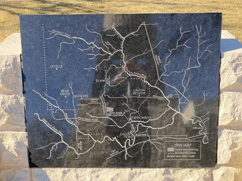
2. Irving Community map
Photographed by Morgan Petermann, December 20, 2024
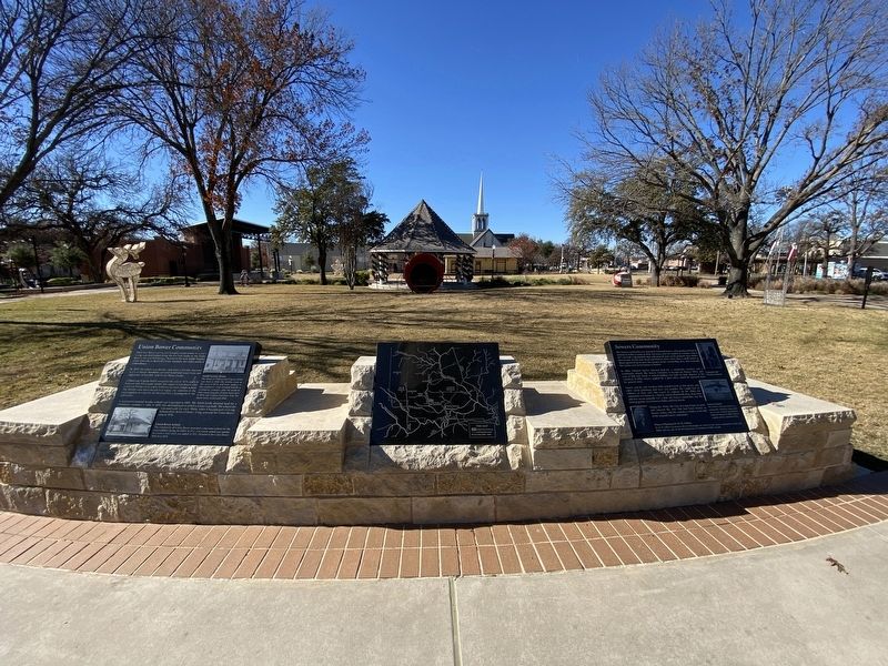
3. Union Bower and Sowers markers.
Union Bower Community is on the left.
Credits. This page was last revised on January 1, 2025. It was originally submitted on December 30, 2024, by Morgan Petermann of Hurst, Texas. This page has been viewed 225 times since then and 67 times this year. Photos: 1, 2, 3. submitted on December 30, 2024, by Morgan Petermann of Hurst, Texas. • James Hulse was the editor who published this page.
