Irving in Dallas County, Texas — The American South (West South Central)
Sowers Community

Photographed by Morgan Petermann, December 20, 2024
1. Sowers Community Marker
In 1880, Edmund Sowers donated land for a community cemetery and a community school. The Sowers Cemetery is located on Pioneer Drive, just east of Belt Line Road. A school building was built on land adjacent to the cemetery. In 1881, Sowers applied for a post office, which he operated from his general store.
Sowers and his wife Freelove held annual Fourth of July picnics and other social gatherings that were very popular. The couple had no children of their own, but raised six orphans. In the 1880s, the community was home to a church, school, blacksmith shop, drug store, and two steam gristmills. For a time, the Sowers community was the most populous area between Dallas and Fort Worth.
During
this page online
Captions
(Photo #1) Pioneer Physician Dr. D.W. Gilbert
Dr. D. W. Gilbert was born in 1854 in Mississippi. He moved to the Sowers community in the early 1880s and was one of the first physicians in northwest Dallas County.
(Photo #2) Edmund and Freelove Sowers
(Photo #3) Sowers School
The Sowers School started as a community school in a log cabin on an acre of land donated by Edmund Sowers in 1880. This is a photo of the school in 1925.
Erected by City of Irving.
Topics. This historical marker is listed in this topic list: Settlements & Settlers.
Location. 32° 48.738′ N, 96° 56.784′ W. Marker is in Irving, Texas, in Dallas County. It is at the intersection of South Main Street and West 2nd Street on South Main Street. Touch for map. Marker is at or near this postal address: 217 S Main St, Irving TX 75060, United States of America. Touch for directions.

Regionally, this marker is in the Prairies
Photographed by Morgan Petermann, December 20, 2024
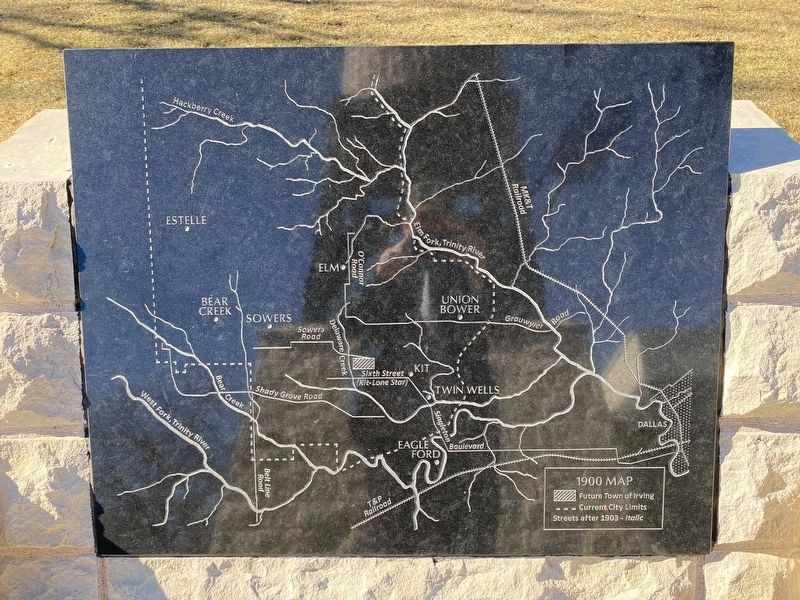
2. Irving Community map
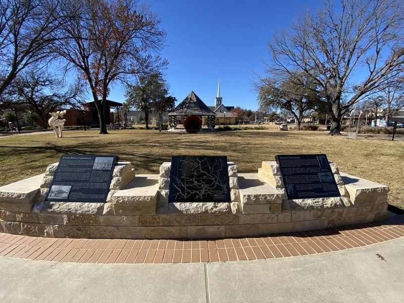
Other nearby markers. At least 8 other markers are within walking distance of this marker: Union Bower Community (here, next to this marker); Irving's First 'Water Tower' (here, next to this marker); Heritage Park Gazebo (a few steps from this marker); Bear Creek Community (a few steps from this marker); Elm Community (a few steps from this marker); Estelle Community (a few steps from this marker); Kit Community (a few steps from this marker); Twin Wells Community (a few steps from this marker). Touch for a list and map of all markers in Irving.
Photographed by Morgan Petermann, December 20, 2024
3. Sowers Community Marker
Credits. This page was last revised on January 1, 2025. It was originally submitted on December 30, 2024, by Morgan Petermann of Hurst, Texas. This page has been viewed 255 times since then and 55 times this year. Photos: 1, 2, 3. submitted on December 30, 2024, by Morgan Petermann of Hurst, Texas. • James Hulse was the editor who published this page.
