Irving in Dallas County, Texas — The American South (West South Central)
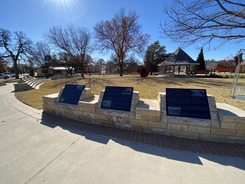
Estelle Community

Photographed by Morgan Petermann, December 20, 2024
1. Estelle Community Marker
Bryant and Ryan Harrington came to the Estelle area shortly after the Civil War. The brothers amassed large land holdings on which they raised cattle and farmed. In 1883, the Harringtons donated land for a community school and Masonic lodge. Area residents built a two-story frame building on the site. In 1916, the community built a two-story brick schoolhouse. During the 1920s, the school began offering only grades 1-7. High school students attended Irving High School, which was about seven miles to the southeast.
In 1881, the community received a post office to serve the population of about 600 people. The post office remained in service until 1904. By the 1940s, the population of Estelle had dwindled, and little but the store remained of what
this page online
Captions
(Photo #1) Estelle Residents
Estelle was located on what was known as the Grapevine Prairie. Here a young couple pauses by the side of the road, as the prairie stretches out behind them.
(Photo #2) Estelle Baseball Team
At the turn of the century, many small farming communes gathered enough local young men to form baseball teams. Teams from area communities would then play each other. In this 1908 photo, members of the Estelle team pose with their bats and gloves.
Erected by City of Irving.
Topics. This historical marker is listed in this topic list: Settlements & Settlers.
Location. 32° 48.744′ N, 96° 56.787′ W. Marker is in Irving, Texas, in Dallas County. It is at the intersection of South Main Street and West 2nd Street on South Main Street. Touch for map. Marker is at or near this postal address: 217 S Main St, Irving TX 75060, United States of America. Touch for directions.

Regionally, this marker is in the Prairies & Lakes Region
Photographed by Morgan Petermann, December 20, 2024
2. Estelle Community Marker
Other nearby markers. At least 8 other markers are within walking distance of this marker: Bear Creek Community (here, next to this marker); Elm Community (here, next to this marker); Irving's First 'Water Tower' (a few steps from this marker); Sowers Community (a few steps from this marker); Union Bower Community (a few steps from this marker); Britain Family (a few steps from this marker); Caster Cabin (a few steps from this marker); Heritage Park Depot (a few steps from this marker). Touch for a list and map of all markers in Irving.
Credits. This page was last revised on January 1, 2025. It was originally submitted on December 30, 2024, by Morgan Petermann of Hurst, Texas. This page has been viewed 151 times since then and 37 times this year. Photos: 1, 2. submitted on December 30, 2024, by Morgan Petermann of Hurst, Texas. • James Hulse was the editor who published this page.
