Sherman in Grayson County, Texas — The American South (West South Central)
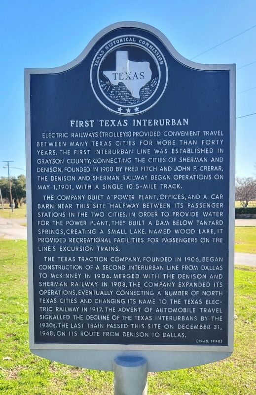
First Texas Interurban
Photographed by James Hulse, December 30, 2024
1. First Texas Interurban Marker
The company built a power plant, offices, and a car barn near this site halfway between its passenger stations in the two cities. In order to provide water for the power plant, they built a dam below Tanyard Springs, creating a small lake. Named Wood Lake, it provided recreational facilities for passengers on the line's excursion trains.
The Texas Traction Company, founded in 1906, began construction of a second Interurban Line from Dallas to McKinney in 1906. Merged with the Denison and Sherman Railway in 1908, the company expanded its operations, eventually connecting a number of north Texas cities and changing its name to the Texas Electric Railway in 1917. The advent of automobile travel signalled the decline of the Texas Interurbans by the 1930s. The last train passed this site on December 31, 1948, on its route from Denison to Dallas.
Erected 1990 by Texas Historical Commission. (Marker Number 7367.)
Topics. This historical marker is listed in this topic list: Railroads & Streetcars. A significant historical date for this entry is May 1, 1901.
Location. 33° 41.748′ N, 96° 34.53′ W. Marker is in Sherman, Texas, in Grayson County. It is on Texoma Parkway (State Highway 91), on the right when traveling north. The marker is located at the intersection. Touch for map. Marker is at or near this postal address: 5800 Texoma Pkwy, Sherman TX 75090, United States of America. Touch for directions.

Regionally, this marker is in the Prairies & Lakes Region.
this page online
Other nearby markers. At least 8 other markers are within 3 miles of this marker, measured as the crow flies: Hendrix Cemetery (approx. 0.9 miles away); Albert Hendrix (approx. 0.9 miles away); The Civilian Conservation Corps at Loy Park (approx. 2½ miles away); Thompson House (approx. 2½ miles away); Davis-Ansley Log Cabin Home (approx. 2½ miles away); Jesse Elvis Hendricks Log Cabin (approx. 2½ miles away); Cold Springs Log Cabin School (approx. 2.6 miles away); The Fitzgerald Home (approx. 2.6 miles away). Touch for a list and map of all markers in Sherman.
Photographed by James Hulse, December 30, 2024
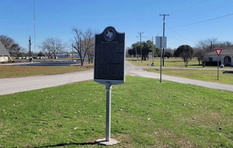
2. First Texas Interurban Marker
Photographed by James Hulse, December 30, 2024
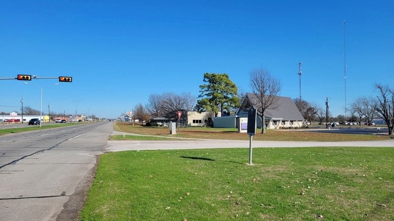
3. The view of the marker along the street
Credits. This page was last revised on March 6, 2025. It was originally submitted on December 31, 2024, by James Hulse of Medina, Texas. This page has been viewed 335 times since then and 97 times this year. Photos: 1, 2, 3. submitted on January 2, 2025, by James Hulse of Medina, Texas.
