Beggs in Okmulgee County, Oklahoma — The American South (West South Central)
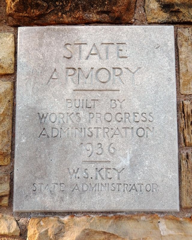
State Armory
Photographed by Cosmos Mariner, September 10, 2024
1. State Armory Marker
Works Progress
Administration
1936
———
W. S. Key
State Administrator
Topics and series. This historical marker is listed in these topic lists: Architecture • Charity & Public Work. In addition, it is included in the Works Progress Administration (WPA) projects series list. A significant historical year for this entry is 1936.
Location. 35° 44.577′ N, 96° 4.25′ W. Marker is in Beggs, Oklahoma, in Okmulgee County. It is on West Main Street just west of North Broadway Street (Alternate U.S. 75), on the right when traveling west. The marker is located at eye-level, directly on the southeast corner of the subject building, facing Main Street. Touch for map. Marker is at or near this postal address: 30243 West Main Street, Beggs OK 74421, United States of America. Touch for directions.

Regionally, this marker is in the Muscogee Nation, in Northeast Oklahoma—Green Country, and in Greater Tulsa. It is also in the American South, specifically on the prairies, and on the Southern Plains. Globally, it is in North America, the Western Hemisphere, the Western World, and the Anglosphere. Historically, it finds itself
this page online
Other nearby markers. At least 8 other markers are within 10 miles of this marker, measured as the crow flies: Forced to Capitulate by Command or Shot out of the Sky: (approx. 9.2 miles away); Ernest Childers (approx. 9.2 miles away); Nuyaka Mission (approx. 9.3 miles away); 2nd Lt. Kenneth Strang Memorial (approx. 9.4 miles away); Okmulgee County Veterans Memorial (approx. 9.9 miles away); First Bank of Okmulgee (approx. 10 miles away); Samuel Checote (approx. 10 miles away); Creek Capitol (approx. 10 miles away).
Also see . . .
1. State Armory — Beggs. Living New deal website entry:
Excerpt: The building is constructed of native sandstone, with an office area facing Main Street, and a barrel-roof arena to the north. It was constructed in 1936 by the Works Progress Administration.(Submitted on December 31, 2024, by Cosmos Mariner of Cape Canaveral, Florida.)
2. National Guard Armories. Oklahoma’s New Deal website entry:
Excerpt: National Guard Armories was one of the first of the Works Progress Administration(Submitted on December 31, 2024, by Cosmos Mariner of Cape Canaveral, Florida.)(WPA) projects, due in part that the first director of the WPA for Oklahoma was William S. Key who prior to accepting the position as director was the Commanding General of the Oklahoma National Guard. In the United States a total of 126 armories were built by WPA funds and by 1943 Oklahoma had built 56 of those.Photographed by Cosmos Mariner, September 10, 20242. State Armory MarkerThe marker tablet is embedded in the stonework at the southeast corner of the State Armory.


Photographed by Cosmos Mariner, September 10, 2024
3. Works Progress Administration Shield Plaque
Mounted at eye-level on the southwest corner of the State Armory, facing Main Street.USA
1936-1937
WPA
1936-1937
WPA
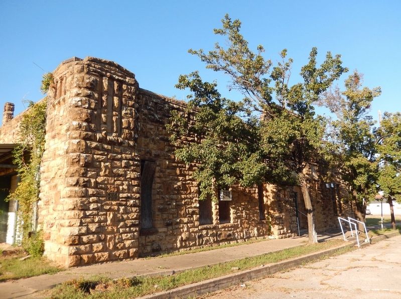
Photographed by Cosmos Mariner, September 10, 2024
4. State Armory (southwest corner)

Photographed by Cosmos Mariner, September 10, 2024
5. State Armory (south/front entrance)
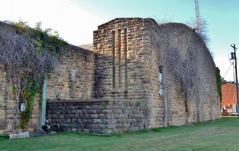
Photographed by Cosmos Mariner, September 10, 2024
6. State Armory (east elevation)
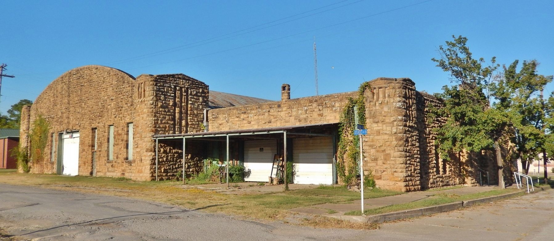
Photographed by Cosmos Mariner, September 10, 2024
7. State Armory (southwest elevation)

Photographed by Cosmos Mariner, September 10, 2024
8. State Armory (south/front elevation)
Credits. This page was last revised on July 14, 2025. It was originally submitted on December 31, 2024, by Cosmos Mariner of Cape Canaveral, Florida. This page has been viewed 254 times since then and 50 times this year. Photos: 1, 2, 3, 4, 5, 6, 7, 8. submitted on December 31, 2024, by Cosmos Mariner of Cape Canaveral, Florida.
