Cleveland in Pawnee County, Oklahoma — The American South (West South Central)
Cleveland
Oklahoma's Pioneer Oil City
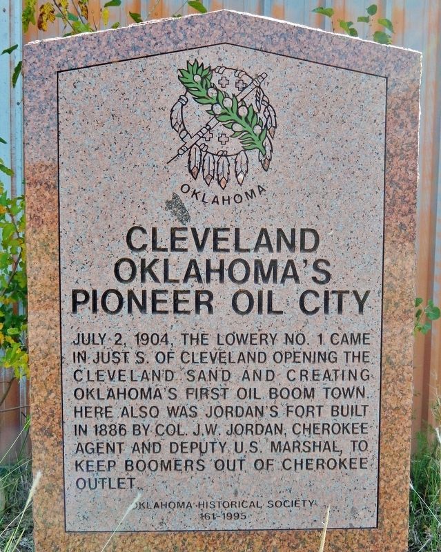
Photographed by Cosmos Mariner, September 10, 2024
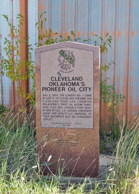
1. Cleveland Marker
Erected 1995 by Oklahoma Historical Society. (Marker Number 161.)
Topics and series. This historical marker is listed in these topic lists: Forts and Castles • Industry & Commerce • Settlements & Settlers. In addition, it is included in the Oklahoma Historical Society series list. A significant historical date for this entry is July 2, 1904.
Location. 36° 18.306′ N, 96° 29.19′ W. Marker is in Cleveland, Oklahoma, in Pawnee County. It is on West Caddo Street (U.S. 64) 0.4 miles west of South Swan Drive, on the left when traveling west. The marker is located in a pull-out on the south side of the highway, directly in front of an abandoned commercial building. Touch for map. Marker is in this post office area: Cleveland OK 74020, United States of America. Touch for directions.

Regionally, this marker is in Northeast Oklahoma—Green Country and in
this page online
Other nearby markers. At least 8 other markers are within 18 miles of this marker, measured as the crow flies: "New Territory" (approx. 9.1 miles away); Marland Filling Station (approx. 9.2 miles away); Original Townsite of Mannford (approx. 11.9 miles away); Outlaw's Hideout (approx. 14.1 miles away); Battle of Round Mountain (approx. 16½ miles away); The Camp of Washington Irving (approx. 17.1 miles away); Harold V. "Tex" Brown (approx. 17.2 miles away); World Famous Athlete Jim Thorpe (approx. 17.2 miles away).
Also see . . .
1. Cleveland (Oklahoma Historical Society).
(By Linda D. Wilson) Excerpt: Before the Cherokee Outlet Opening on September 16, 1893, John W. Jordan as well as other Cherokee had taken allotments in the outlet. Soon after the opening Jordan and others formed the(Submitted on December 31, 2024, by Cosmos Mariner of Cape Canaveral, Florida.)Jordan Valley Townsite Company. The company bought the land for the townsite from Cherokee Dave Hendrix. However, a nearby homesteader, Willis H. Herbert, quickly established a town named Herbert, with a post office opening on October 28, 1893. Apparently, some discrepancy arose and the Post Office Department withdrew its approval of the Herbert post office. Thus, the post office was moved one hundred feet, and on April 14, 1894, renamed Cleveland, in honor of then Pres. Grover Cleveland.Photographed by Cosmos Mariner, September 10, 20242. Cleveland MarkerCleveland served as a trade center for the local farmers and for the Osage, whose reservation was north of the Arkansas River. On May 27, 1904, the first well was drilled near the community. Soon Cleveland had an influx of thousands of oil-field workers, merchants, and entrepreneurs. Hotels and restaurants quickly appeared, and buildings were shipped by railroad from other communities.
2. Cleveland Field (Oklahoma Historical Society).
(By Bobby D. Weaver) Excerpt: In 1904 the Minnetonka Oil and Gas Company began leasing in the area. Their first well was drilled(Submitted on December 31, 2024, by Cosmos Mariner of Cape Canaveral, Florida.)on the William Lowery farm along Cedar Creek, located at the edge of the town. That well, dubbed the Uncle Bill Number One after the name by which Lowery was known to local citizens, was spudded in on May 27, 1904. A month and a day later, on June 28 a light showing of gas developed at the nine-hundred-to-one-thousand-foot level. By July 21 the well bottomed out at 1,625 feet after having been drilled through at least three gas zones and two oil zones. Two days later the owners had the well shot with nitroglycerin, and it began flowing at a rate of 250 barrels per day. It later settled into a steady, fifty-barrel rate. The boom was on, and the field began to develop to the south and west until by July 1905, 220 wells were producing a total of eleven thousand barrels of oil per day. Cleveland, which boasted a population of less than one thousand before the boom, grew to over seven thousand within sixty days of the discovery.Photographed by Cosmos Mariner, September 10, 20243. Cleveland MarkerThe marker is located in front of an abandoned commercial building.

Credits. This page was last revised on December 31, 2024. It was originally submitted on December 31, 2024, by Cosmos Mariner of Cape Canaveral, Florida. This page has been viewed 323 times since then and 71 times this year. Photos: 1, 2, 3. submitted on December 31, 2024, by Cosmos Mariner of Cape Canaveral, Florida.
