Brooklyn Heights in Kings County, New York — The American Northeast (Mid-Atlantic)
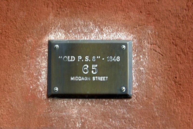
"Old P.S. 8" - 1846
65 Middah Street
Photographed by Larry Gertner, September 17, 2017
1. "Old P.S. 8" - 1846 Marker
Topics. This historical marker is listed in this topic list: Education.
Location. 40° 42.017′ N, 73° 59.537′ W. Marker is in Brooklyn, New York, in Kings County. It is in Brooklyn Heights. It is on Middagh Street west of Henry Street, on the right when traveling west. Touch for map. Marker is at or near this postal address: 65 Middagh St, Brooklyn NY 11201, United States of America. Touch for directions.

Regionally, this marker is in New York City and on Long Island. It is also in the American Northeast, in the Mid-Atlantic, and on the Eastern Seaboard. Globally, it is in the North Atlantic Region, North America, the Western Hemisphere, the Western World, and the Anglosphere. Historically, it finds itself in what was once New Netherland and also one of the original Thirteen Colonies.
Other nearby markers. At least 8 other markers are within walking distance of this marker: GreenThumb (about 400 feet away, measured in a direct line); Plymouth Church of the Pilgrims (about 500 feet away); The Plymouth Bell (about 500 feet away); William Jay Gaynor
this page online
Photographed by Larry Gertner, September 17, 2017
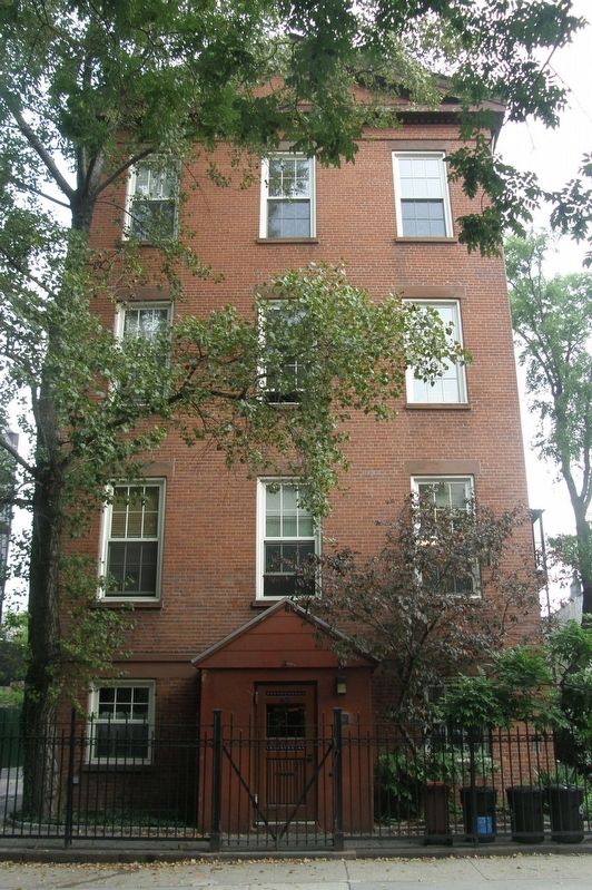
2. "Old P.S. 8"
65 Middah Street

Photographed by Jack DePalma
3. "Old P.S. 8" - 1846 Marker
Credits. This page was last revised on May 27, 2026. It was originally submitted on January 1, 2025, by Larry Gertner of New York, New York. This page has been viewed 219 times since then and 24 times this year. Photos: 1, 2. submitted on January 1, 2025, by Larry Gertner of New York, New York. 3. submitted on May 22, 2026, by Jack DePalma of Brooklyn,NY, New York.
